Ley Line Hunting
Alfred Watkins wrote the first book on Ley Lines. Published just over 100 years ago, his academic study in The Old Straight Track noticed that ancient landscape features - churches, stone circles, hill forts, ford crossings, etc - often line up in a dead straight line.
 |
| The Man... |
 |
| .. and his work |
The book is a game changer for those that like exploring outside. It's highly dubious that Ley Lines actually exist. He argues in the book against popular counter arguments - such as the Lines taking difficult paths and artefacts being from a different age. More compellingly, modern sceptics have been able to draw Ley Lines between modern things - like BT telephone boxes. But the chapters do compel the walker to consider why things are built where they are and where places get their names from. A brilliant chapter on how often the name Cole (corrupted to Cold) appears in the British landscape. Cole - a name for a magician and carrier of a sighting staff.
Herefordshire Council has published a series of day walks and a Watkins Long Distance Path.
Walk 1 takes us to the place he had his revelation - a minor, non-descript crossroads just outside Risbury.
“Suddenly”, his son Allen would recount, “the scales fell from Watkins’ eyes and his mind was flooded with a rush of images forming one coherent plan. The realisation came to him that over many long years of prehistory all trackways had been marked out in straight lines by experts on a sighting system”.
The ley ran, he suggested, from an initial point on top of Croft Ambrey, down Croft lane, through the Broad, a hamlet south of Luston, up to this point at Blackwardine crossroads, over Risbury Camp all the way to the old Roman station on the high ground of Homend Bank at Stretton Grandison. So, the The Blackwardine Ley was the first one ever proposed.
Of course, I was going to walk it.
Little to see at Risbury, but as Watkins documented on his line, there is an ancient fort. Unusually, it's not on a hill but has contained man-made ramparts next to Humber Brook.
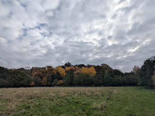 |
| Risbury Camp - A hill fort - without the hill |
Gob's Castle is the next item noted on the map - alas, it transpires that this is a ruined farm house in the middle of nowhere. Unusual for something so mundane to have such a grand title.
 |
| Who was Gob? |
The Society of Ley Hunters have erected a standing stone to Watkins at Blackwardine crossroads. It's just not that easy to find! There is a small post, which I initially mistook for my quarry. I could see the letters A T E R etched into the flank and wondered what the connection to Watkins could be. After taking photos - now deleted and never to be mentioned again - I noticed the letter W at the top of the pole.
The standing stone and a memorial marker are located on the other side of the hedge, inside the grounds of a natural cemetery.
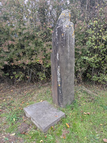 |
| Not a municipal marker |
Humber Court and Church provide the final interest on the walk. Alas, the church is not "doors open" but I did find the clergyman's name.
Would you believe me if I told you it was Reverend Cole?
 |
| Humber Church |
Walk Details
Distance - 5.25 miles
Geocaches - 0
Walk Inspiration - Walking with Watkins, Walk 1
