Distance - 9.2 Miles
Geocaches - 4
Walk Inspiration - Country Walking June 2016, Walk 21
Twice before, I've climbed these three classics of the Brecon Beacons. Never in decent weather. Never attacking the hills from the North.
Mrs Mappiman had an inkling (well, a weather app) that today would be perfect conditions for something a bit more challenging than our usual walk through - as she puts it - boring fields.
I'll show her some excitement.
Which starts with the last mile drive to the car park at Cwm Gwdi. A single track lanes with high embankments remind me that it costs just over a grand to replace a BMW's wing mirror. Its been a year since the Brown Clee Hill transit van disaster.
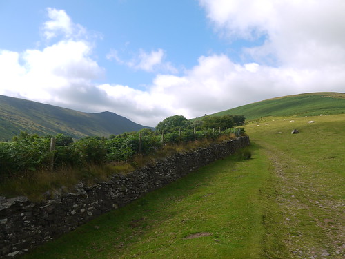
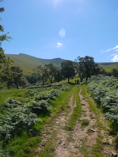
9am and we're the 3rd car to park up. Booted, breakfasted on Malt Loaf and off round lanes to discover the futility of trying to get a "good morning" out of Welsh sheep farmers. We pick up the whale back of Bryn Teg to deliver us, ever upwards, into the hills.
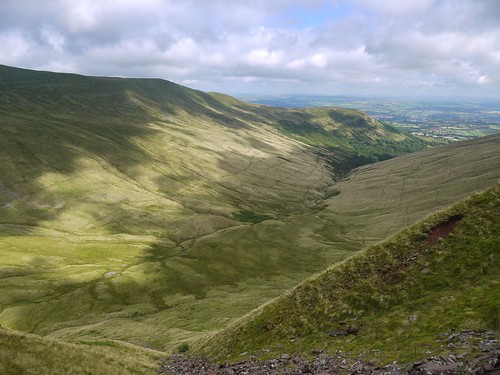
 |
| Bryn Teg - Take me to the Mountains |
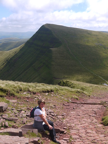
Going is steady. Mrs Mappiman's technique is to walk hard, then sit for a rest whilst I catch up. I try and tell her about the hare and the tortoise. She won't have it.
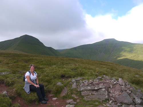 |
| Frequent Stop by Mrs Hill Fit. Cribyn - Left, Pen Y Fan - Right |
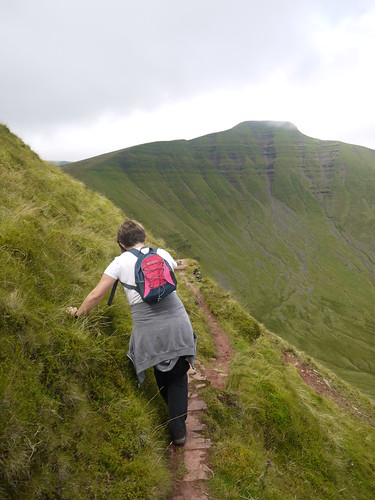
The photo doesn't quite do justice to just how steep the final pull is up onto Cribyn. It seems a lot of work just to come straight back down again. Besides, there is a geocache on its flank, accessible by a thin dotted line on the map which represents something not quite wide enough to be called a path.
You know, its funny. You can live with someone for nigh on 30 years and not realise they are terrified of heights. Surprise is a cornerstone of long lasting relationships. I ask what she doesn't like about the path. Hands are released from the mountain side just long enough to point downwards and a mutter of "That".
 |
| Worth it for the Geocaching Smiley |
 |
| And the views |
We celebrate our arrival at the gap between Cribyn and Pen y Fan with lunch. Never have ham, cheese and branston been combined so deliciously. We can dine, looking back at what we have achieved. Admittedly, the path looks narrower from above.
 |
| Can just make out our "path" on the left flank of Cribyn. |
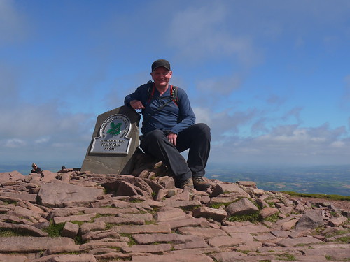
A short haul up to Pen Y Fan. Having had the mountains to ourselves so far, we hit the masses. This type of hillwalking is for everyone. All shapes, ages and attire is represented in a smorgasbord of humanity. Plenty of photos taken in my first mist free ascent of Southern Britain's highest mountain.
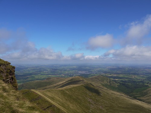 |
| Pen Y Fan Views |
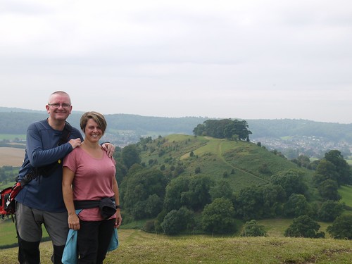
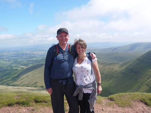 |
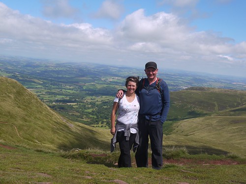
| Highest Couple in Southern Britain |
 |
| Form an orderly queue for a photo |
Short hop to Cribyn and then the descent starts. I've read about the story of a 5 year old lost on the mountains for 29 days in 1900 but this is the first visit to Tommy Jones memorial.
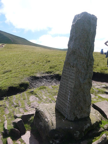 |
| Tommy Jones Memorial |
 |
| And the Outlook |
The descent is easily the best walk off a mountain I have ever completed. The views are stunning, the terrain firm under foot and a canopy of trees guides us home in the later stages. It's an unexpected joy.
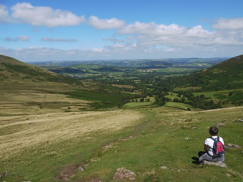 |
| Car is down there, somewhere |
 |
| Last look back at the hills |
A classic walk and definitely the best way of ticking off these three easily accessible mountains.
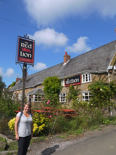
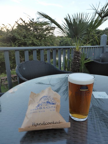
And on to the post walk drink. We could have stopped in Brecon itself but parking looked complicated and the beer garden of Boars Head was full of a hen party who had adopted a nautical theme.
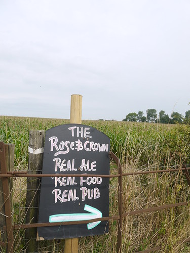
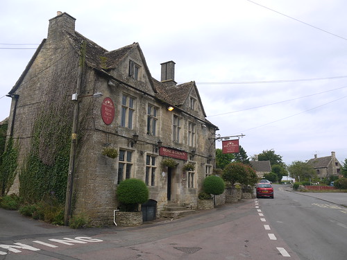
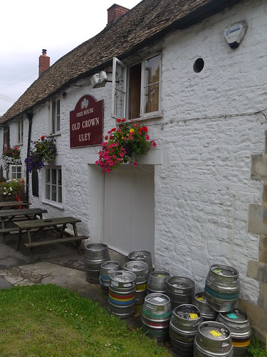
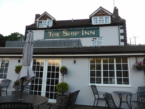
Instead, we take a chance and stop at one of the many former coaching houses that align the road in. A couple are dismissed and we settle on a hand printed sign from the by pass that lures thirsty mountaineers into the Baskerville Arms at Clyro with a promise of Real Ale.
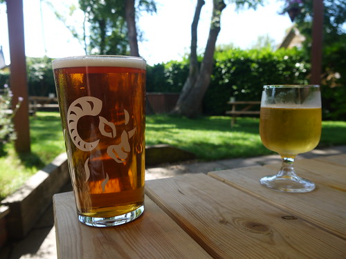
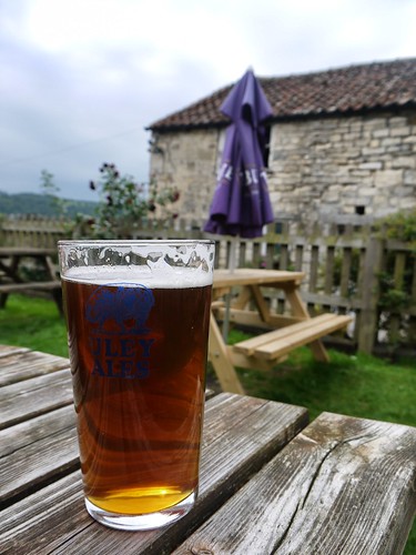
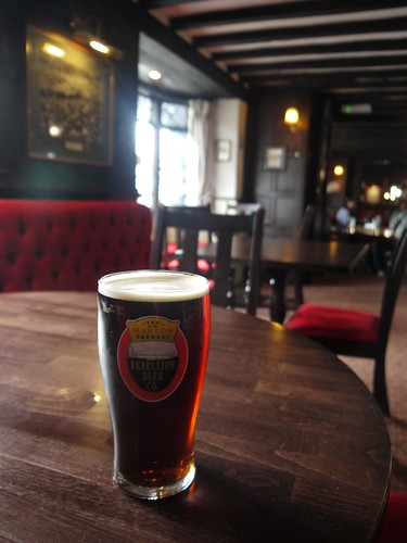
It would appear that the by pass has done the gaff no favours. A single punter propping up the bar got quite excited that new blood was coming in. Still, they keep a decent pint of Otter.
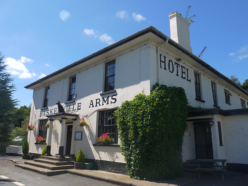 |
| Baskerville Arms - Clyro |
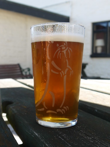 |
| Wonderful Otter |