Stages Completed in - 14
Distance Walked - 166.45 Miles
Geocaches - 207
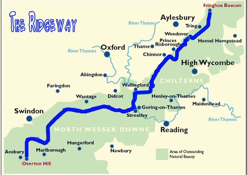
Start - Avebury, Wiltshire on the 15th March 2014
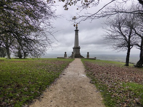
Finish - Ivinghoe, Buckinghamshire on the 27th February 2016
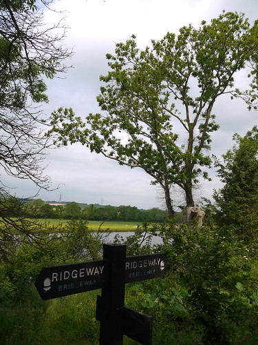
 |
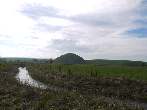
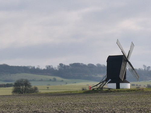
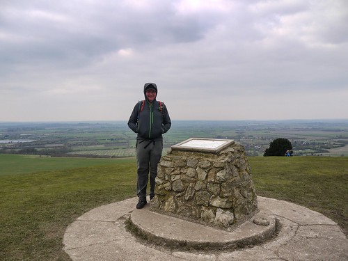
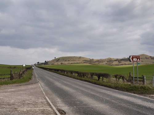
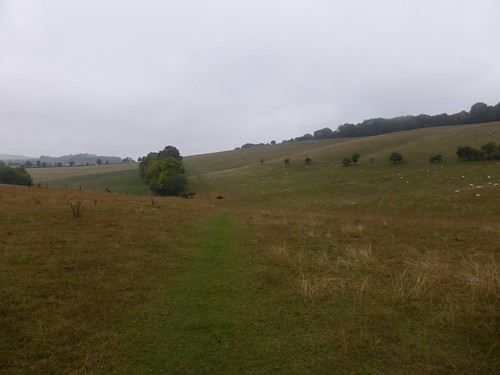
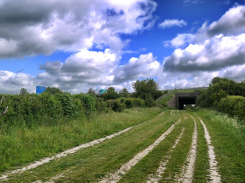
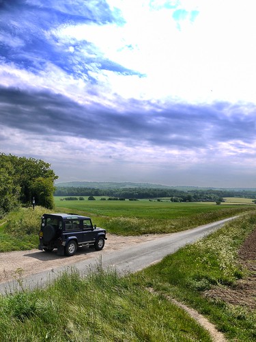
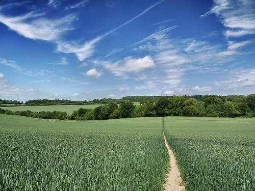
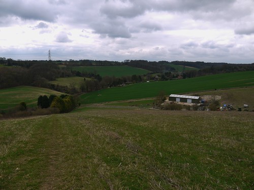
| Ridgeway, in its Linear Glory |
I first noticed the Ridgeway at a corporate event in the shadow of Barbury Castle where they handed out shotguns. That was a day that could have gone badly wrong but simply planted a seed in my mind as to what fine walking it looked.
Some planning and I determined that I could complete it at my leisure through a series of day walks - either circular or where public transport allowed, linear.
In March 2014, we commenced the odyssey - not at the official start, Overton Hill, but at Avebury. Don't miss out on this unique place of British History if you are thinking of tackling it. Like Stonehedge but infinitely better.
We headed east and finished at Ivinghoe Beacon after 14 individual walks, 166 lovely miles and nearly 2 years later.
We headed east and finished at Ivinghoe Beacon after 14 individual walks, 166 lovely miles and nearly 2 years later.
Highlights
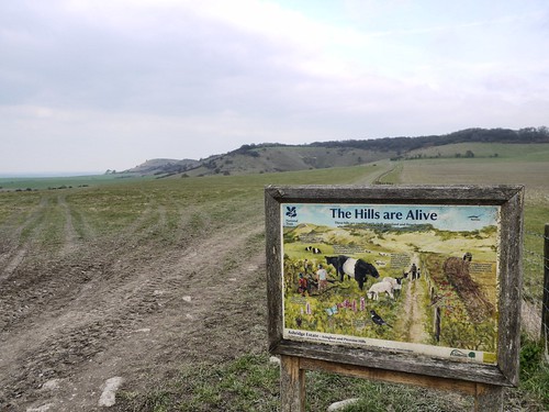
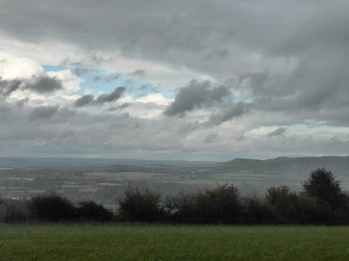
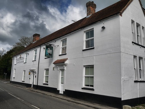
No doubt about it, the walking along the early stages are superb - the broad, high path that lasts until you reach the Thames at Streatley provides the best walking imaginable.
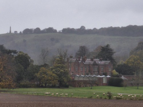
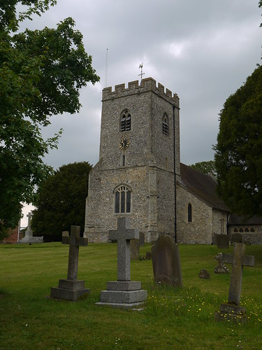
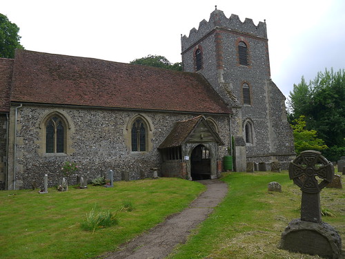
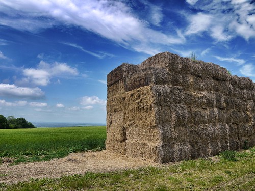
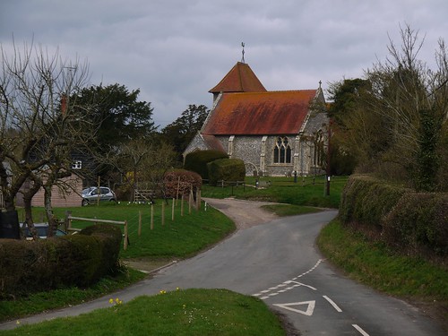
There's also regular hill forts, ancient burial mounds and seemingly endless geocaches to discover.
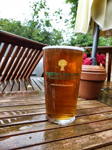
Lowlights
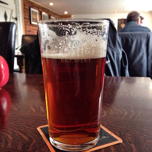
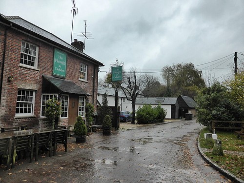
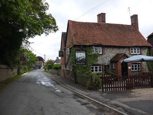
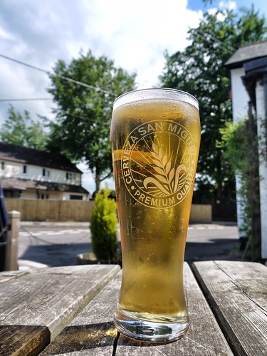
Don't get me started on Arkells Beer. Tried it in three different places and it was ghastly.
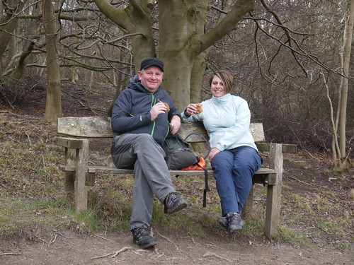
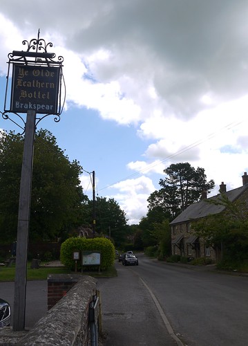
 |
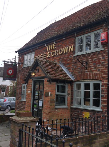
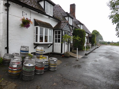
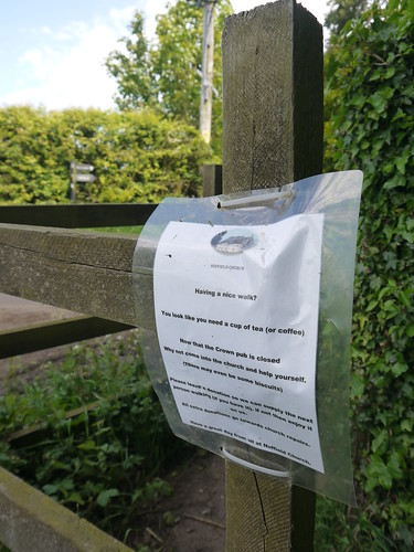
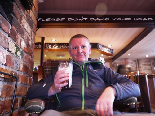
| Tuck into That |
Lowlights
Don't get me started on Arkells Beer. Tried it in three different places and it was ghastly.
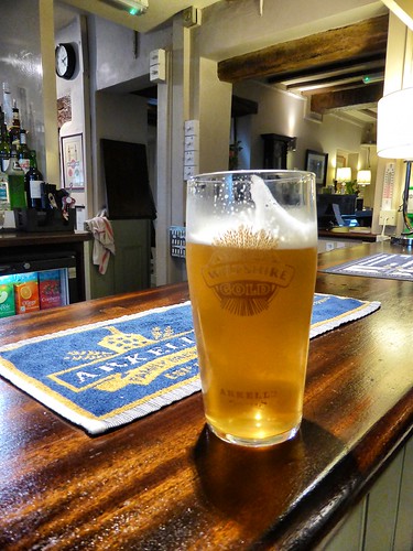 |
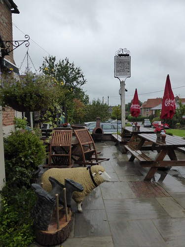
| Fool me once, shame on you. Fool me thrice, shame on me |
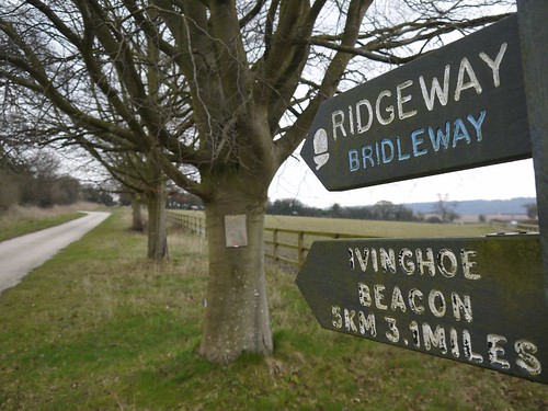
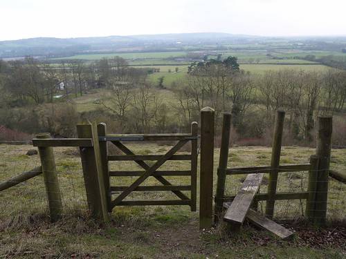
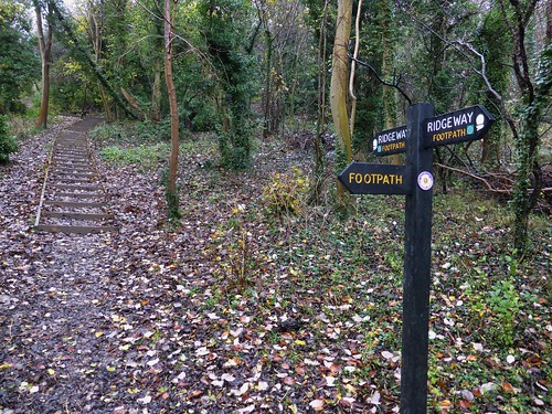
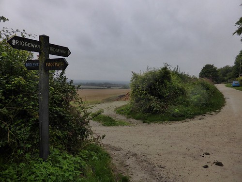
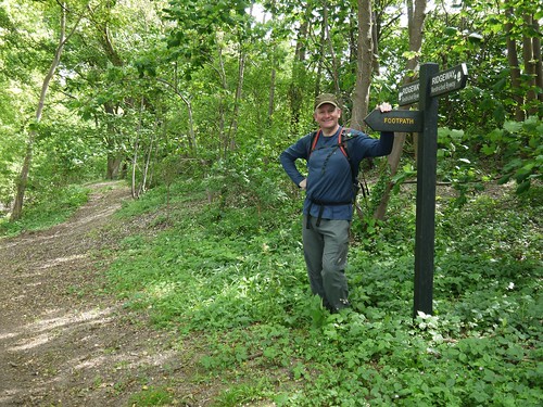
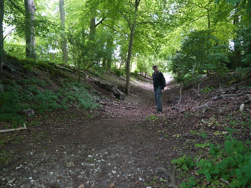
Advice for other Walkers
How we completed it over 14 Day Walks
Each walk blogged with a map at the link
Walk 1 - Avebury - 7 Miles Circular
Walk 2 - West of Barbury Castle - 11 Miles Circular
Walk 3 - East of Barbury Castle - 10.2 Miles Circular
Walk 4 - Aldboune, 13.5 Miles Circular
Walk 5 - Bishopstone, 8.75 Miles Circular
Walk 6 - White Horse Hill, 13.5 Mile Circular
Walk 7 - Letcombe, 11.5 Miles Circular
Walk 8 - Scutchamer Knob, 15 Miles Circular
Walk 9 - Streately, 13.5 Miles Circular
Walk 10 - Into Watlington, 15 Miles Linear
Walk 11 - Out of Watlington, 8 Miles Circular
Walk 12 - Chinnor, 16.2 Miles Circular
Walk 13 - Princes Risborough, 15 Miles Linear
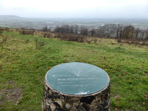
Walk 14 - Ivinghoe Beacon, 8.3 Miles Circular
- The western half provides the best scenery and walking.
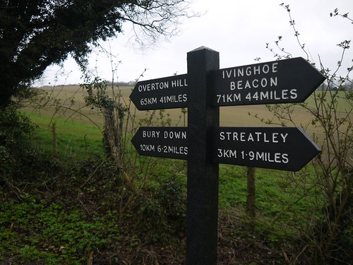
- Public transport is tricky until Streatley.
- Where the Ridgeway crosses a road - there's usually a free parking area.
- Its no hardship to complete circular walks. The adjacent downs and paths are equally stunning.
- Beware of Arkells.
How we completed it over 14 Day Walks
Each walk blogged with a map at the link
Walk 1 - Avebury - 7 Miles Circular
Walk 2 - West of Barbury Castle - 11 Miles Circular
Walk 3 - East of Barbury Castle - 10.2 Miles Circular
Walk 4 - Aldboune, 13.5 Miles Circular
Walk 5 - Bishopstone, 8.75 Miles Circular
Walk 6 - White Horse Hill, 13.5 Mile Circular
Walk 7 - Letcombe, 11.5 Miles Circular
Walk 8 - Scutchamer Knob, 15 Miles Circular
Walk 9 - Streately, 13.5 Miles Circular
Walk 10 - Into Watlington, 15 Miles Linear
Walk 11 - Out of Watlington, 8 Miles Circular
Walk 12 - Chinnor, 16.2 Miles Circular
Walk 13 - Princes Risborough, 15 Miles Linear
Walk 14 - Ivinghoe Beacon, 8.3 Miles Circular
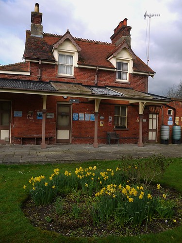
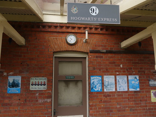
The Photo Album on Flickr