Start - West Horndon
Finish - Gravesend
Geocaches - 0
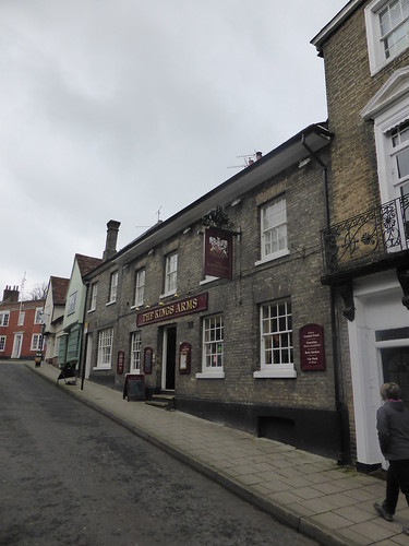
Pubs - The Good Beer Guide Pubs of Gravesend
Previous Stages - Stage 1, Stage 2, Stage 3, Stage 4, Stage 5, Stage 6, Stage 7, Stage 8, Stage 9, Stage 10, Stage 11, Stage 12, Stage 13, Stage 14, Stage 15, Stage 16, Stage 17, Stage 18, Stage 19, Stage 20, Stage 21
Another goal reaches it's end. Monthly, for the last two years, I've been taking advantage of Virgin Trains cheap advance tickets to travel from my Midlands home and walk a section of the London Countryway. Seems fitting that this, the 22nd such trip, is on the day that Virgin lose the West Coast Mainline franchise. My 17:43pm from Euston amongst the last handful of services they will run. I expected the drinks trolley to make it out of first class to share the gin with the regulars. Should have taken a later train.
Following a painless commute, my walking day started at West Horndon at 10am. The walk is going to end in spectacular style with a Thames Ferry Crossing. No great endeavour deserves to finish in Tilbury. Homework done, and I know even ferrymen have a lunch break - with a gap in the services from 2:10pm. I have four hours to walk about 13 miles - so there won't be any hanging around.
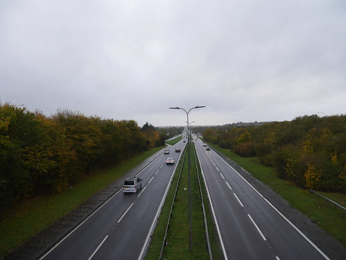
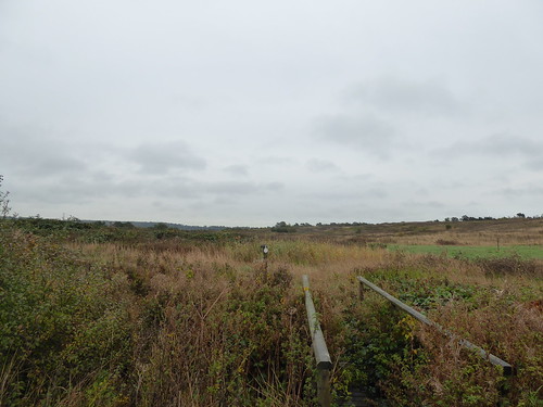
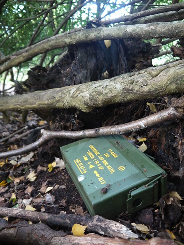
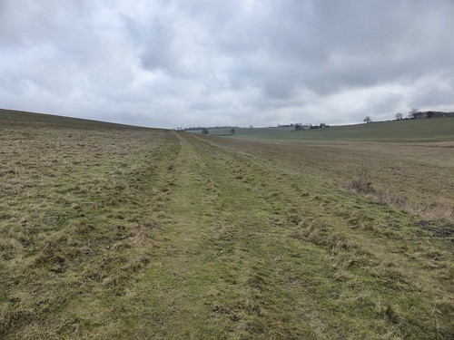
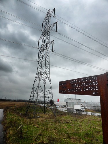
Its not Geocaches or pubs that slow me down in the early stages - but endless muddy fields and un-signposted footpaths that criss cross water ditches. Get it wrong and you are either dyke jumping, or doubling back on yourself.
 |
| Deceptive fields of mud. Some of it exported back to the West Midlands |
 |
| Civilisation |
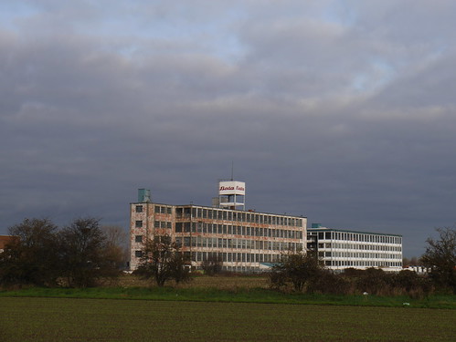 |
| Abandoned factories |
No need to despair - there's a reason for what looks a lengthy detour to Coalhouse Fort. A more direct route could have been taken into Tilbury but this stretch of 3 mile stretch of the Thames is an absolute joy.
Keith Chesterton describes a scraggly collection of houses and a pub that lead to the Fort. They're all still there - undeserving of even a name on the OS Map. With the seagull squawks, there's a real seaside feel to the approach to the Thames. A little church, bombed from the estaury by the Dutch in 1667, shows why the gun batteries were needed.
 |
| Coalhouse Fort |
I've little choice but to investigate - my return tickets are from Gravesend - and there's no way I'm leaving a 2 year mission incomplete. On inspection, you can't help but feel the council are over reacting. Yes, the sea wall has a broken stretch of about 10 metres - which they have sealed off quite dramatically. To get through, a drop down to the foreshore and back up is all that is required.
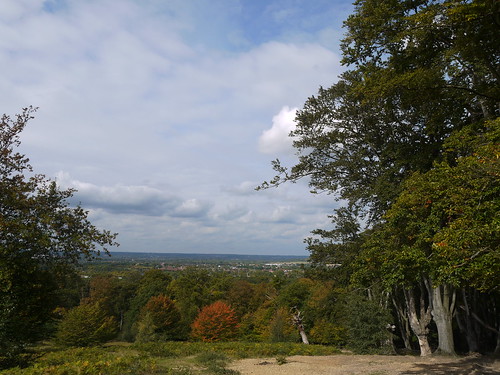
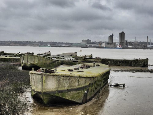
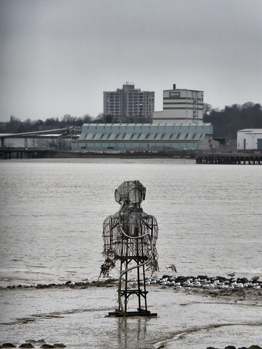
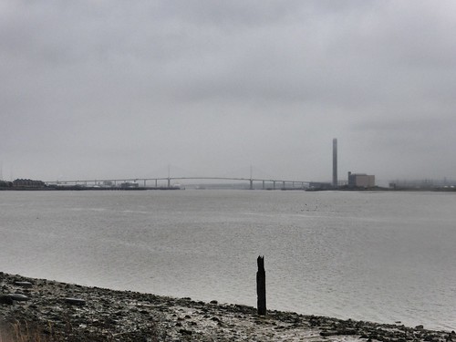
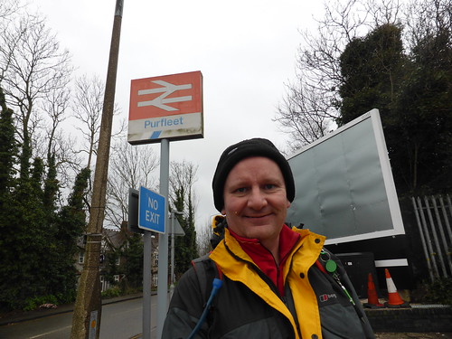
I find myself reminded of the closing stages of the London Loop - which had a similar walk along the Thames to Purfleet. The skies are quite wonderful and there's a real feel of industrial decline, with endless ruined wharfes and constructions to which you can only guess the purpose. Many photos, of the low winter sun over Gravesend.
 |
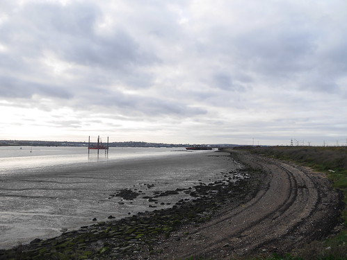
| Reaching the Thames |
 |
| Mudlarker |
 |
| Seaside-esque |
 |
| More of the Same |
Another, much older, fort at Tilbury and the cruise ship Magellan points to where the Tilbury Passenger crossing is. It's 2pm and I've made it by 10 minutes. It seems other people are in the mood to join in my celebrations. You'd think I was making it up if I told you about the three well oiled cockneys on a water based pub crawl were dancing to Chas and Daves' "Gertcha". What started off as amusing became quite annoying when the track skipped onto "My old mans a dustman" as we board the ferry.
 |
| Waiting for the marginally less impressive 2:10 passenger ferry |
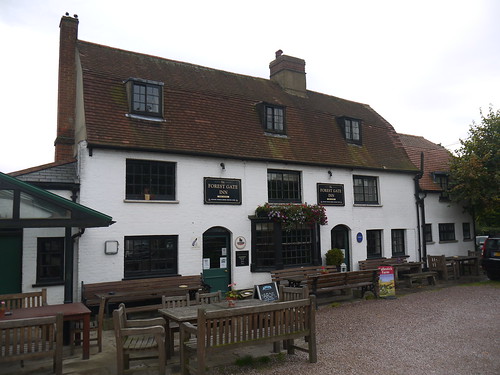
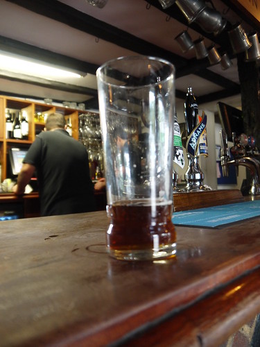
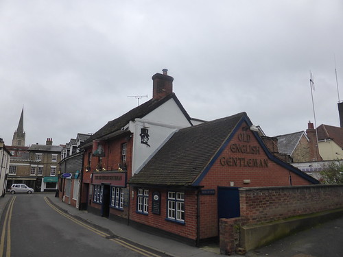
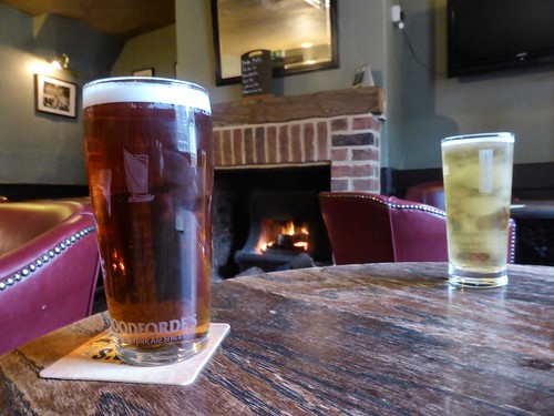
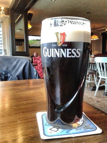
10 minutes on the ferry and I'm back in Kent. Dropped off at the Three Daws pub, one of the three Good Beer Guide entries that will be in a separate blog. Its busy, so I take my celebration pint into the beer garden - providing fine views back over my route. I look over the water and consider the odyssey undertaken until my reflection is interrupted by unmistakable dulcet tones.
The three amigos have found their way outside and cranked up Chas and Dave's "Margate".
 |
| My ferry - and see those Pylons? I walked through them |
 |
| The end of London Countryway celebration. Gertcha! |