Showing posts with label Surrey. Show all posts

Saturday, 3 November 2018

03/11/18 - London Countryway Stage 9 - West Byfleet to Sunningdale

Distance - 10 Miles
Start - West Byfleet
Finish - Sunningdale
Geocaches - 7
Pub - The Broomhall Hutt, Sunningdale
Previous Stages - Stage 1Stage 2Stage 3Stage 4Stage 5Stage 6Stage 7, Stage 8


No one would have believed you could walk in England's South East and experience such wilderness.

In Stage 9 of the London Countryway, we cross from Surrey to Berkshire via two distinct landscapes - the urban oasis of the Basingstoke Canal and two commons, Horsell and Chobham.

Its a short distance from West Byfleet station to the Basingstoke Canal.  I've walked it before, last time turning right and heading for Weybridge.  Today, its left and towards Woking.   Pleasant walking seeing how many of the houses have accommodated the canals into the back gardens.  Private boat mooring inlets and extravagant decking with tree houses were admired for their owner's vision.

The canal was derelict when KC wrote the guide to the Countrway.   Nice to see that sometimes things do get better.

Basingstoke Canal
Easy Walking along the canal
A short length of road walking delivers me to the heavily wooded Horsell Common.  If the name sounds familiar, you've probably read the opening line of the blog in Richard Burton's voice. 
Location for the first martian attacks in War of the Worlds.

Horsell Common
Yes, I was singing "the chances of anything coming from Mars...."
The link to the next common is via equestrian fields and skirting the edge of an airfield.  If I had been quicker on the camera draw, I could have provided an impressive take off photograph.  The footpaths run right at the end of the runway.

Instead, you can make do with a sign to live your life by.

Sentiments
Sound Sentiment 
Onto the most surprisingly of all the commons encountered today and on previous legs.  I've never heard of Chobham common before today and you don't expect such vast swathes of wild heath land to be present so close to London.   574 hectares, apparently.   It takes me a good 90 minutes to walk across it, encountering more birds than people.

Chobham Common
Surrey Wilderness
The common butts right up against Sunningdale - the end station of today's walk.   Not really heard of Sunningdale either and the locals don't seem to refer to it by this name.  Both the pub and the OS Map are marked Broomhall.

I'd checked on Google Maps before heading off to see what post walk entertainment was available.  Nothing really came up, so I vowed to just see what was there when I arrived.

Sunningdale Action
An Event

Broonhall Hutt
An unexpected pub
The Broomhall Hutt is geared up for diners.  Initially, I thought post walk thirst was to be sated by Doom Bar but closer inspection showed a Rebellion Brewery IPA.

Never sure of the quality of ale in establishments like this, I asked for a sample and was provided with a rather large 1/4 pint measure.   It was perfect.   And the sample helped top up and under poured pint.

Rebellion IPA
Holiday's are coming!
The London Countryway keeps delivering... today was a beautiful and varied walk. 


Saturday, 22 September 2018

22/09/18 - London Countryway Stage 8 - Horsley to West Byfleet

Distance - 9 Miles
Start - Horsley
Finish - West Byfleet
Geocaches - 4
Pubs - The Anchor - Pyrford Lock and The Station - West Byfleet
Previous Stages - Stage 1Stage 2Stage 3Stage 4Stage 5Stage 6, Stage 7

The only question for this month's leg on the London Countryway is whether to go full out mental, following the Dick Bowman 19.9 miles to Sunningdale or a take a more sedate 10 miles on Des De Moor's amble to West Byfleet.

I've got all the time in the world.

I've had a great run on the London Countryway - some stunning walking on the North Downs Way - so I expected a more pedestrian leg was coming.   This is nowhere near as exhilarating but does have plenty of variety and well spaced refreshment stops.   It's still a fine way to spend a damp September Saturday, with more than a hint of Autumn's approach.

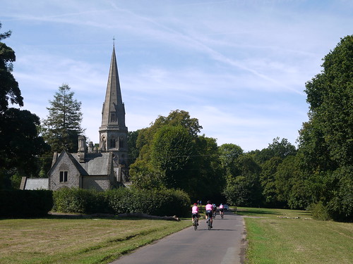
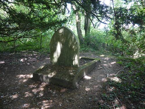
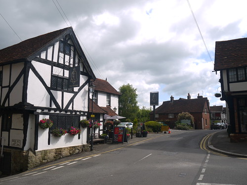
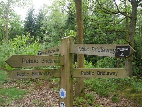
Nothing much happens from Horsley through the ancient village of Ockham.  If you've heard of Ockham, it's because you have been reading too much crime fiction.  50% of them mention Ockham's Razor - the theory that the simplest solution is always the most likely - usually just before the most convoluted denouncement imaginable happens.  I'm talking to you, Peter James, with your hijacked helicopters over the streets of Brighton.

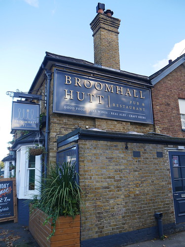
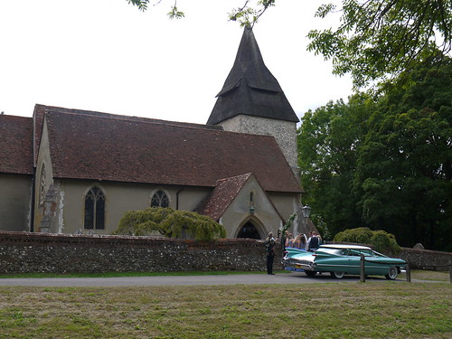
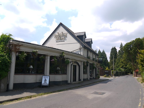
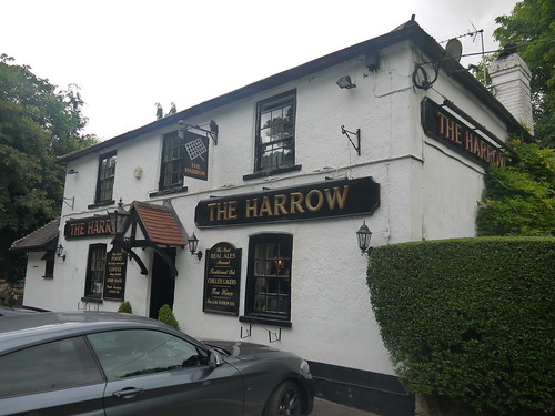
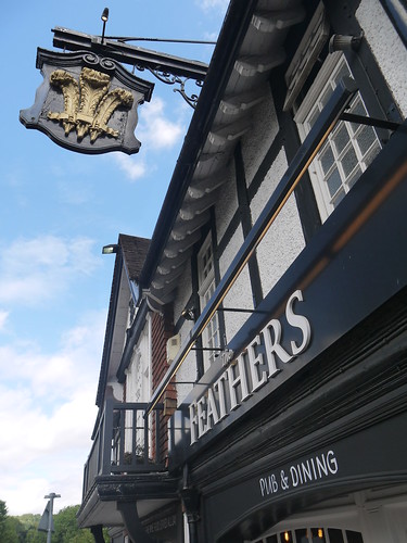
Lane walking, some posh gaffs, horses and the Black Swan pub, where the Geocache tells me the locals call it the Mucky Duck.   Of course they do.  It's tradition.

Ockham
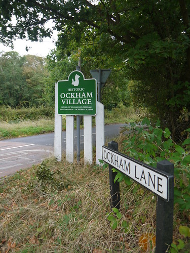
Ockham - Proud of their Philosopher Sons
Black Swan, Ockham
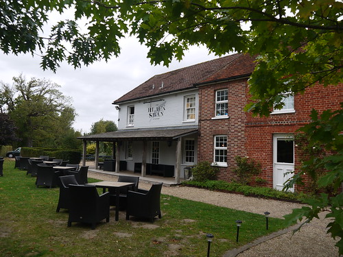
The Mucky Duck - At 10:45am

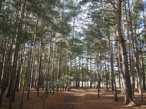
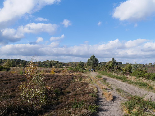
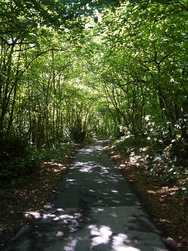
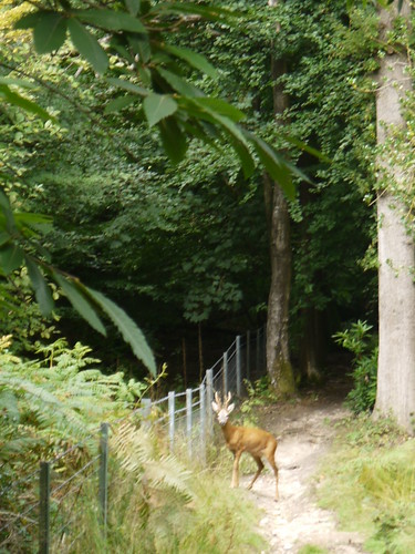
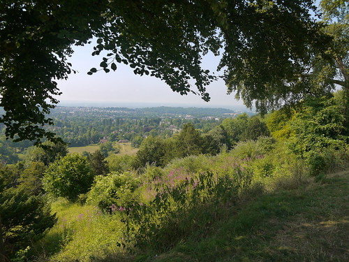
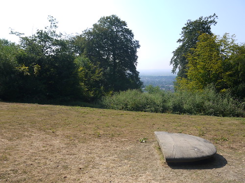
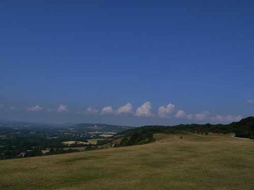
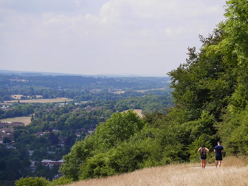
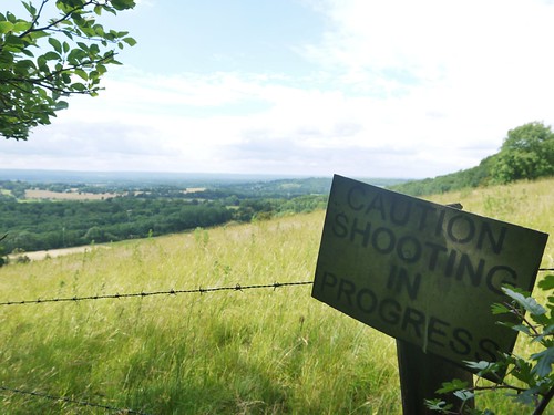
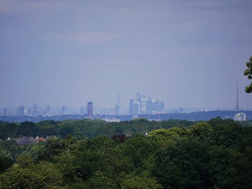
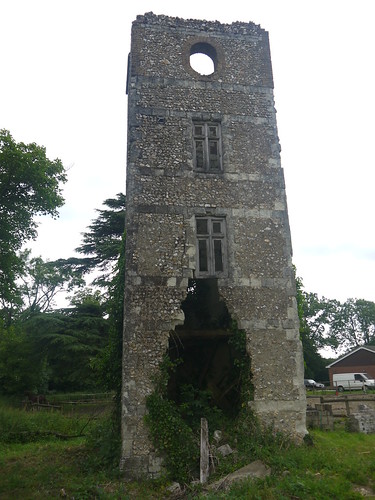
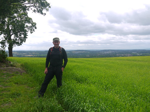
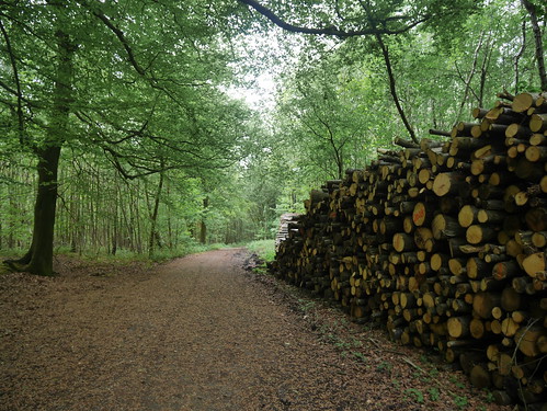
Horse fields are left behind for the surprisingly sandy commons of Ockham and Wisley.   Narrow paths disappear into the ferns and there is the accidental stumble into a herd of friendly cows.   The highlight to seek out is Chatley Semaphore Tower - the finest remaining relic of a post Napoleonic Communication line running to the sea.

Chatley Semaphore Tower
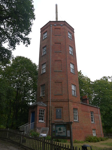
Operational from 1822 to 1847
Ockham Common
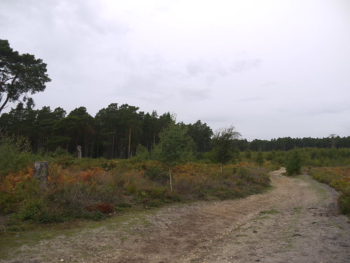
Not all the paths on Ockham Common are this broad.

Crossing the A3 - Copying Des's Photo
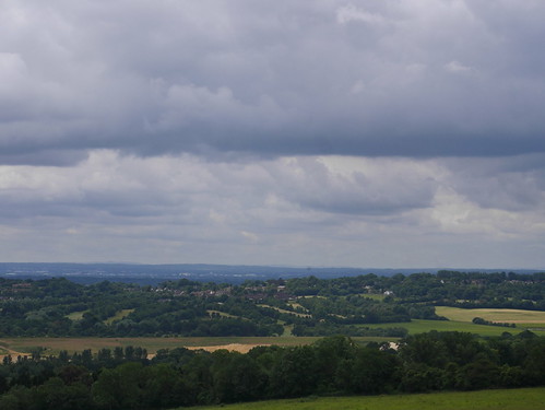
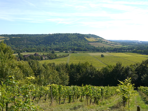
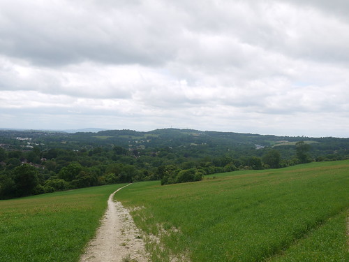
Two commons split by the A3 - Photo style taken from Des
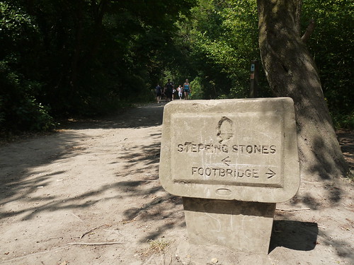
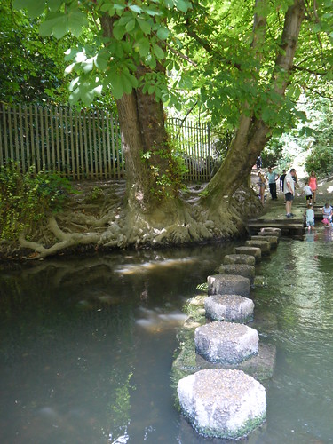
Next, the River Wey navigation needs to be found.   The blog is going to be a tale of bridges, that will bore the casual reader but may be important to anyone thinking of walking the route.

Des points out that Pigeonhouse Bridge was washed away in 2013 storms.  As a simple wooden structure is going to cost £400K (!) to replace, it remains missing to this day.   There is a golfers bridge seconds away, but agreement was not reached to allow right of way access for the casual walker.   Des's instructions detail a diversion to Walsham Lock and a warning not to trespass.

I thought I would check things out on the ground and a series of "Tow Path" diversion signs encourage me to make my way to Pigeonhouse Bridge.   And Joy - since August 2018, agreement has been reached with the golf club and ramblers can use the little footbridge.   And in a twist, the diversions are in place because Walsham Lock appears to be inaccessible.

I didn't read the smallprint on this but the London Countryway can be completed, just as Keith Chesterton expected.

Diversion in Place for 1 month
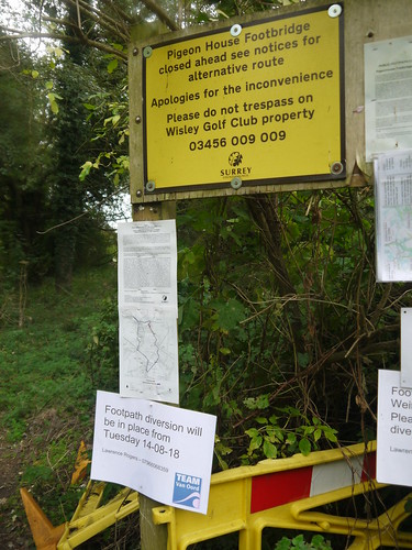
Yellow Sign is old - the new laminates are sending you over....
Golfer's Bridge - now a ROW
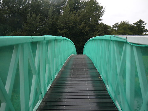
This strategically placed golfing bridge

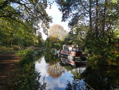
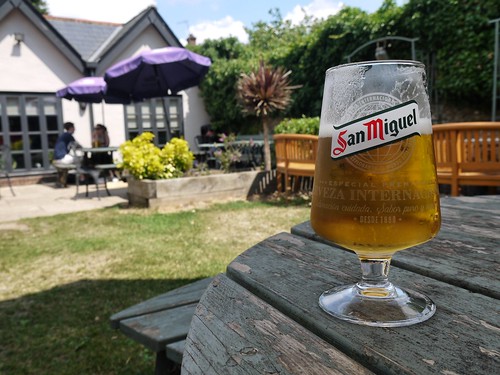
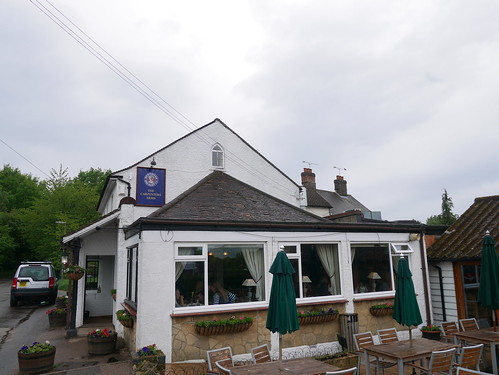
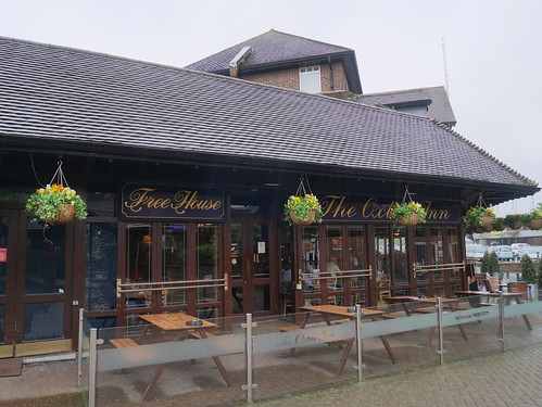
Having survived bridge confusion, the Wey Navigation provides easy walking more or less all the way to West Byfleet.   Where you have canals, you have pubs - and the first stop of the day is Hall and Woodhouse's Anchor Inn.

The Anchor at Pyrford Lock
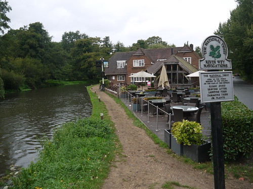
Handy Stopping Point
Headless Badger
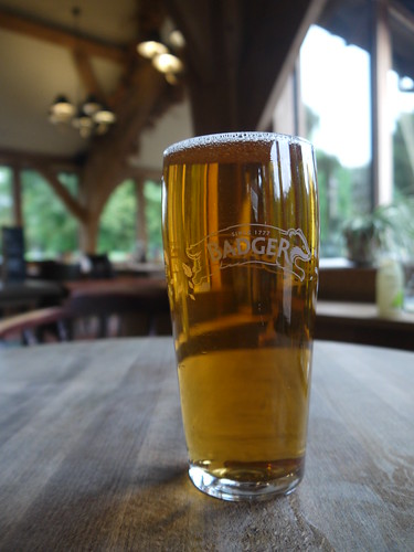
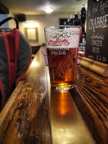
Good colour.  Headless Badger

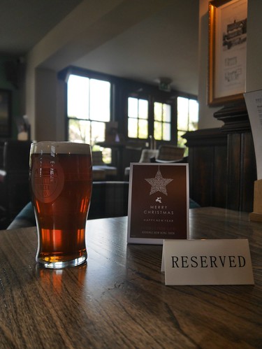
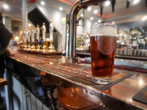
Despite its handy location for cyclists, ramblers and anglers, every table - bar the one with the above pint - is setup for fine dining.   How I hate this disregard for the drinker.   The beer had left its head in Dorset but I did make friends with the two blokes crammed around my table - one in waders and one in lycra.

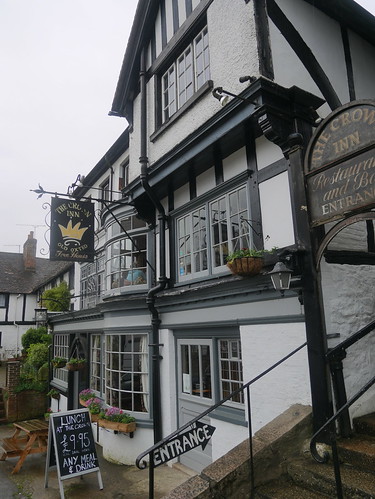
Back into the rain and along the canal into West Byfleet.   Trains are plentiful back to London, so I can take my time and see if the Station breaks the unwritten rule that any pub named after the railway infrastructure is a horror.   It doesn't look much from the outside but cavernous, clean and with a nice little area for drinkers to sit and watch the early game.

The Station, West Byfleet
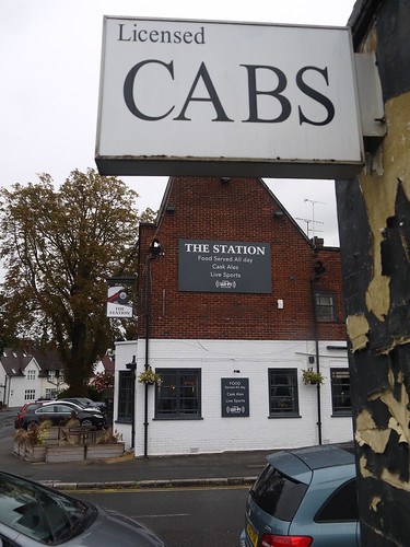
The Station - next to the Station
Meantime IPA - Nice Glass, average taste
Jamie Redknapp warning me that Meantime IPA is all fancy glassware

Like Des, I am done for the day.   Dick would have merely been half way.

Saturday, 11 August 2018

11/08/18 - London Countryway Stage 7 - Box Hill to Horsley

Distance - 10 Miles
Start - Box Hill
Finish - Horsley
Geocaches - 4
Pubs - I missed the Barley Mow at Horsley
Previous Stages - Stage 1Stage 2Stage 3Stage 4Stage 5, Stage 6


More delightful walking on the London Countryway, as I leave the ridge paths of the North Downs Way and Greensands Way, to drop down from the hills and start the attack on the Thames Valley.

The walk starts at Box Hill and Westhumble Station.  Served only hourly from Victoria, I board with an alarming number of people in hiking gear.   I am asked firstly if I am a member of the Saturday Walking Club and then if I am an Outdooraholic.   The second question took a double take but an explanation from the leader details that they are 31000 (!) strong meetup group based in London who hike every weekend.  With the leader also holding all the groups rail tickets and organising trips to the single train toilet, it all looked a bit school trip-ish to me but their itinerary looks fun.

On train departure at Box Hill, they are all heading west and its just me and a denim clad rambler heading east, looking for the North Downs Way, which runs along private roads to gently gain height.

North Downs Way out of Box Hill
Metalled North Downs Way
The best walking is undoubtedly the first half of the way.   Once through the trees, there are fine views over England's biggest Vineyard, Denbies, revealing Dorking and the planes taking off from Gatwick.  You have to wonder where the passengers think they are flying to that could possibly be better than this.

Views over Denbies Vineyard to Dorking
Denbies Vineyard
Ranmore Common next, providing good paths but little too look at when you cannot see the woods for the trees.  The shade, however, is most welcome and St Barnabas of Ranmore is an architectural highlight.

St Barnabas of Ranmore
St Barnabas of Ranmore and a cycling team in Pink
More woodlands through indistinct areas marked on the OS Map as White Downs, Sheepwalk Lane and Effingham Forest.  Few ramblers around but there is a close encounter that I wished I'd been able to focus on better before it shot off.

Sharing the Path
Resident of Effingham Woods
The drop down from the ridge is at the Sheepleas, where London reveals itself for the second point on the Country way.  I am without my telescopic lens to pick out the famous reference points visible with the naked eye but the notice board does explain what the photo doesn't pick up.

Coming down with views over London
London - Far Away
The remainder of the walk was all down hill to Horsley Station.   Little to look at but plenty of interest - if you do you research.  Mine was half completed.   I knew St Mary's Church reputedly has the head of Sir Walter Raleigh (pickled by his wife and kept in a red leather bag, no less) buried in the crypt.  A wedding interrupted exploration.

Wedding at West Horsley Church
Wedding at St Marys

A cracking Geocache tells me the history of West Horsley Place.  We know its ancient because of the type face on the OS Map.  Owned by Walter's Son at one point and recently bequeathed to Bamber Gascoigne before he donated it to become an arts centre.

My lack of research?  I forgot to deviate from the path to take in the Barley Mow for post walk refreshment.   There's nothing to be sourced at Horsely Train Station, so I head back to the City dry.


Saturday, 14 July 2018

14/07/18 - London Countryway Stage 6 - Merstham to Box Hill

Distance - 10 Miles
Start - Merstham
Finish - Box Hill
Geocaches - 2
Pubs - Stepping Stones at Box Hill
Previous Stages - Stage 1Stage 2Stage 3Stage 4, Stage 5


Stage 6 of the London Countryway and I finally determine where the guide book's cover photo is taken from.

The Guide
Colley Hill
This leg promised a lot and duly delivered.  The entire 10 miles is along the North Downs Way, accessed almost immediately from Merstham railway station.

A gentle climb through sports fields, a golf course and across school grounds.

Today's first views
First views from the golf course
Plenty of interest here too, with information boards spelling out the history of Reigate Fort.  Even a gap in the trees has a story to tell.  There are two monuments, that sadly could not be taken in the same photo, but the gap in the trees is explained as a WW2 Air crash site.  The monuments mark the extremes of the wing tips and are part made from metal from the B17 Bomber.

WW2 Bomber Crash Site
One Half of the Monument
Much needed shade is provided by the tunnel like paths before we reach Colley Hill, where the North Downs reveal themselves in the their splendour.  I recognise the monument from the book cover but get that involved in taking photos that I neglect to look up at the art work in the ceiling.  Check out Des De Moor's excellent commentary for details.

Cover Guide Photo
With this beauty, I unsurprisingly failed to look at the monument ceiling
Mappiman at the Temple
Look up Mappiman, you goon
Views
The Path Ahead

The last photo represents what fine walking remains for the day.... dropping to the valley floor on steep paths and working my way around the quarry and lime works to Box Hill.  There's only one question - where to sit for lunch?   A number of benches are either occupied or out in the midday sun, but I do find shelter in the trees just off the path.

Tom Stone Lunch
Seat for Lunch
In case you think I am being disrespectful, I do check the inscription.  I'm working on the assumption that "Quick, An English Thoroughbred" is a dog.

Leith Hill is the last to be conquered.   A picnic spot that is hard to surpass, judging by the hoardes taking advantage of the weather and the far ranging views.

Box Hill
Dropping down from Leith Hill
Rather glad that I am coming down this way, as the way up is beyond steep.  I half feel sorry for the cub pack coming up the other way, carrying kit for an overnight expedition.  It doesn't stop my exaggerated answers to their desperate questions of "how much further do we have to climb".

Westhumble and Box Hill Station, with its once hourly trains back to the smoke, awaits at the bottom of the hill but first a choice on which path to take.

Choices
Surely no-one takes the Footbridge

River Mole Crossing
Not me, anyway
A Country Pub is just before the station.  Four real ales were available but sometimes, reassuringly expensive continental lager is all that is going to do the trick.  Even if it is brewed in Northhampton.

Stepping Stones, Box Hill
Over Stepping Stones - to the Stepping Stones
Stepping Stones, Box Hill
£5.20 worth of Midlands lovliness


Saturday, 16 June 2018

16/06/18 - London Countryway Stage 5 - Oxted to Merstham

Distance - 10 Miles
Start - Oxted
Finish - Merstham
Geocaches - 16
Pubs - 2
Previous Stages - Stage 1Stage 2Stage 3, Stage 4


Stage 4 of the London Countryway ended unceremoniously in the Oxted Wetherspoons.   A place tainted by the tipsy, reeling and drop down pissed at 2pm on a Saturday afternoon.

It left an undeserved sour taste in the mouth for Oxted.  At 9:30am, a mere two stops from London Bridge, I was more taken by its black and white independent shops and a lovely looking Everyman Cinema.   I could potentially live here, if I was ever minted enough.

And the nicer pubs are out to the West on the Godstone Road.

West Oxted
West Oxted's Pair of Pubs
The main purpose of the London Countryway today is to introduce me to the North Downs Way, which is picked up after a lung busting pull up Tandridge Hill.   Once the height is gained, its all plain sailing on a lovely ridge walk that leaves me begging for more.   The NDW gets added to an ever growing list of future walks.

Climbing to North Downs Way
Climbing Tandridge Hill

The walking is easy, the paths are perfect and the Geocaches are imaginative.  I have an endless roll of photos looking down to the South Downs and when there's a gap in the trees, a few of an unexpected vista of the City.

From North Downs to South Downs
Looking South
Unexpected City Vistas
Picking out the landmarks looking North

Stunning.

8 miles in, with the Water having expired at 5, I'm provided with welcome refreshment at the Harrow, Chaldon.  Reach the folly tower of Whitehill, take a 160m detour to enjoy a freshly changed London Pride that was worthy of its name.

Whitehill Tower
Of no historical importance, a mere folly built in 1862
The Harrow, Chaldon
Chaldon's Harrow
The Harrow, Chaldon
Perfect Pint

A simple drop down into the ending point at Merstham, taking advantage of a trig point for a selfie.

Mappiman on South Downs Way
North Downs Way Selfie
Dropping down to Mershtham
Dropping down into Mestham

Mersthams a small village that had two pubs but only the Feathers remains.  A Food & Football place to wait for the 30 minutes train back to the Smoke.

The Feathers
Pub and Dining at the Feathers
I'll avoid the temptation of saying this is the best leg of the Countryway..... I've read the guidebook and from here to Boxhill comes highly praised indeed.

Let's just say the best so far...


Saturday, 12 May 2018

12/05/18 - London Countryway Stage 4 - Sevenoaks to Oxted

Distance - 14.8 Miles
Start - Sevenoaks
Finish - Oxted
Geocaches - 17
Pubs - 3 (all GBG ticks)
Previous Stages - Stage 1Stage 2, Stage 3


Stage 4 of the London Countryway and I make my first border crossing - from Kent into Surrey.  The walk is getting into its stride now and although the terrain is quite similar today, the walking is superb.

It could be described as a walk of two halves.

The first section sees me escape Sevenoaks through a series of alleyways and private roads to be delivered into Mill Bank Woodlands.  Fine Forest rides and some perfect Geocaches to hunt for, not too difficult and high in volume.

Mill Bank Woods
Got some logging to do, but not this much
For the second part of the walk, I pick up the Greensands Way and follow to today's destination, Oxted.  It follows the high ridge of the Sevenoaks Weald, through National Trust owned land of Ide and Toy Hill and offers never ending views to the South Downs Way.  There are a lot of photos, but they are all similar and usually containing Bough Beech Reservoir.

Sevenoaks Weald Views
First of he days views to South Downs Way
Bough Beach Reservoir
Bough Beech Reservoir

There's a myriad paths, that makes some routefinding difficult.  As well as following the original guide to the LDN Countryway, I have a couple of blog resources available.  Des De Moor stopped for lunch at this picnic table back in 2009.   Its still there, even if I was lunchless.

Ide Hill
National Trust Land, providing good paths
Route Finding Issues
Occasionally, too many paths 
Picnic Set in the Weald
Deep in the Woods Picnic Stopping Point

Pub wise, it's could be a marathon over the 14 miles.   First met is Ide Hill's Cock Inn.  Despite missing the opportunity to ask a bemused local how far the Cock Inn is, I decide to delay gratification.  This is nothing to do with it being a Greene King, but the fact that time is precious.

Running out of water means that I cannot ignore the Carpenters Arms at Limpsfield Chart.  A gastro pub in the truest sense of the word, with an extension built on to squeeze in extra tables.  Its also a Westerham Brewery house - not one I am aware off but LocALE from Kent.  The 1965 was in superb condition and the staff called me Sir, even if I was in a damp raincoat.  I was quite content.  Even more content when I get home, check the bible and determine I've accidently gained another tick.

Carpenters, Limpsfield Chart
Gastro, Gastro, Gastro
1965 at the Carpenters
With decent Westerham Ales

I forget to ask for a water refill, but there is nothing to fear.  Old Oxted is about another hours walk and in a High street that can't be more than 150 metres long - there are four pubs.  Old Bell is handsome, the George Inn looked closed down and the Wheatsheaf looked estate.  I have taken a 1 mile detour to get a Good Beer Guide Tick at the Crown Inn.

The Crown, Old Oxted
Note the Entrance Sign - It's on the first floor
Four real ales on and I played safe by taking an average London Pride to a nice Chesterfield sofa in a different room to where the diners and their screaming kids were.  Really nothing much to write home about but it was infinitely superior to my final GBG tick of the day in new Oxted.

Positioned strategically next to the Station is the Oxted Inn.  It's appearance matches its near industrial estate address of Units 1-4, Hoskins Walk.

In a long list of crimes against landlord-ery that I won't bore you with here, the beer was terrible.  My first request of an Oakham JHB died a third into pouring.  The replacement Windsor and Eton Windsor Knott was hazy and lifeless.

There's a reason for this - in a packed pub of people, many of whom have obviously been here since 9am, I am the only person drinking a real ale.  Everyone else is on lager, with the exception of one bar hanging dandy on the sauvignon blanc.

When I am king, I am banning JDW from future Good Beer Guides.

Oxted Inn, New Oxted
Mama told me not to come.  Good Beer Guide insisted.