Showing posts with label South Downs Way. Show all posts

Saturday, 5 September 2015

05/09/15 - The South Downs Way Summary

Start - Eastbourne (09/04/15)
End - Winchester (04/09/15)
Distance - 99.7
Geocaches Found - 82


Back on the SDW
Follow the Signs
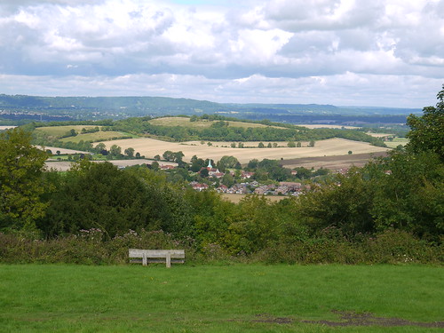
2015 has been the year of the South Downs Way.  Chosen as an easy Long Distance Path with good rail links, I completed it in six days, over two trips.

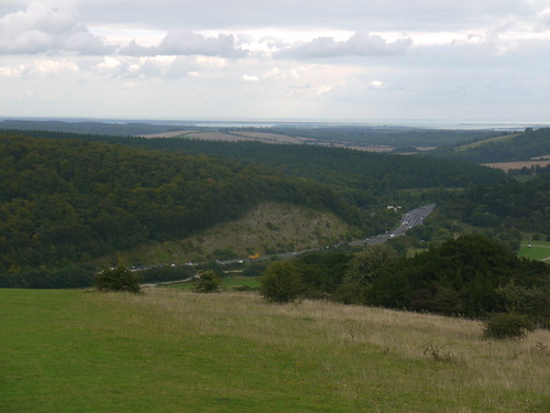
I followed the guidebook and walked East to West.  It would appear from that most people I met in accommodation were going in the opposite direction - which I would recommend.  The walking gets better the further you get away from Winchester.  It starts off merely beautiful and ends up jaw dropping.

Other advice / notes;


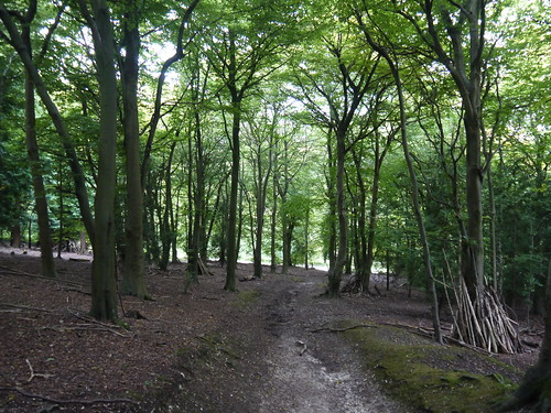
  1. Surprisingly wild.  A couple of days, no civilisation is passed.  Which means no supplies are available to purchase.  
  2. If there is a Tower Mast on a hill, you are probably walking up it. 
  3. There are a high number of geocaches
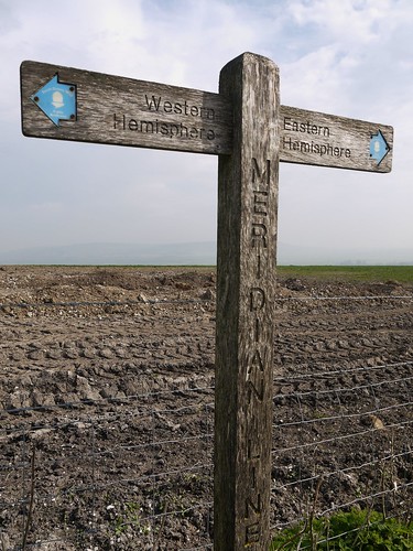
  4. You cross hemispheres.
  5. Accommodation is available at the end of each day.  Ranging from posh Gastropubs to a YHA.  None are prohibitively expensive. 

This is how I did it, with a link to a blog entry for each day.

Day 1 - Eastbourne to Southease Station - 15 Miles, staying in Lewes
Day 2 - Southease Station to Truleigh YHA, 20 Miles, staying in the YHA
Day 3 - Truleigh YHA to Amberley, 15 Miles, train home.
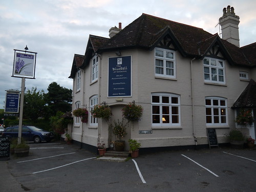
Day 4 - Amberley to Cocking, 12 Miles, staying at the Bluebell Inn, Cocking
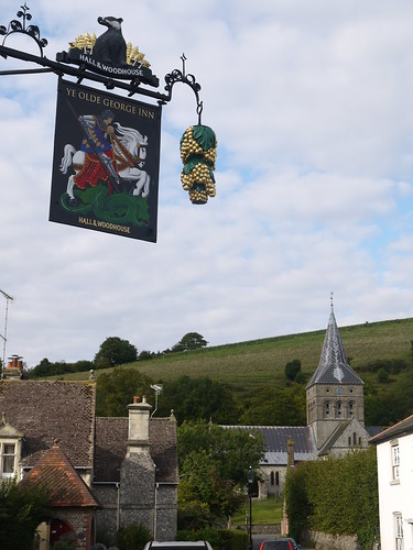
Day 5 - Cocking to East Meon, 20 Miles, staying at Ye Olde George, East Meon
Day 6 - East Meon to Winchester, 19 Miles, train home

Many walking highlights along the way - Alfriston, Ditchling Beacon, Devil's Dyke, Chanctonbury Hill Fort, Harting Downs and Old Winchester Hill amongst them.

Lowlights - Day 5 had nowhere at all to stop for refreshments.  Couldn't even find a visitor centre at the Queen Elizabeth Country Park.  But worse was to follow on Day 6.  I was so looking forward to a pint at Milbury's Pub after 12 miles.  I was served a pint.  Of the most atrocious bilge water.  Made up for it, celebrating in Winchester!

A great starter Long Distance Path, especially when blessed with good weather - as I was.

My flickr photo album below.

South Downs Way

04/09/15 - Completing the South Downs Way

Distance - 19 Miles
Geocaches - 5
Start - East Meon
End - Winchester
Highlights - Old Winchester Hill

Last Night
Finally allowed into the Ye Olde George Inn at 6pm.  It was Ok - it gave me an hour to regain my strength after yesterday's 20 miles and someone had kindly left the Times in the Beer Garden.

The pub is lovely and unusually stocks Badger Beer.  I've previously only seen this on cans of shandy (made with real Badger Beer) and at the St Stephens Tavern in London - one of my favourite pubs.  I try the First Call, which is even better than Tanglefoot.

I continue to read Bill Bryson's "A Walk in the Woods".  In a moment of serendipity, Country Walking magazine put on facebook the chance of winning tickets to the UK premier of the film - to be released next week.  I upload a photo of my pint and my book, exclaiming "What are the chances?".

I then blog till my battery dies (really, the charger wouldn't have added that much weight) and then read some more.  Get to the chapter where Bill rips into people taking technology onto the trail and says that "Exactly no-one is interested in reading your daily updates".

Sheepishly put the dead laptop back in my rucksack and check out the second pub in the Village, the Izaak Walton.  More down to earth than the George, it as a thriving darts team (I had to move) and a decent pint of Ringwood Best Bitter.

The Walk


Day 6 and the last day on the South Downs Way.  I catch myself in the full length mirror whilst dressing.  Not only are my Sub anti-chaffing pants ridiculously tight but I also have welt marks on my shoulders from my rucksack.  Maybe I was right not to get too loaded with the laptop charger.

Legs need a bit of encouragement to get going and I stock up on snacks and mints at the village stores before getting going.  I have a treat in store today, as there is civilisation on route.  Exton may be too soon to stop for a drink but at 12 miles, there is a wonderful big blue cup of joy on the OS map at Milbury's.

I am so looking forward to that.

Pleasant walking through Whitewoold fisheries, watching proper fly fishermen do their stuff and then the first climb of the day up Old Winchester Hill.  17 miles from Winchester.

The views are outstanding and I also like the car park.
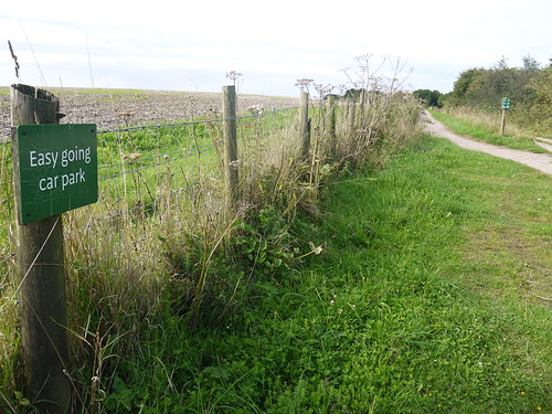
Easy Going - South Downs Way
Easy Going if you drive up it
Old Winchester Hill
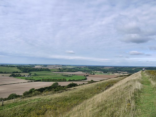
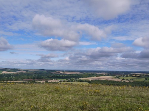
Southern Views from the Hill Fort
Old Winchester
Northern Views

Downhill all the way to Exton, an exceedingly pretty little village.  I meet another SDW'er going in the opposite direction and he is spending the night here, having set off from Winchester at 9am.  He is lucky, but it's not even lunch time.  Surely, he could have got some more miles in?  Still, its not a race.
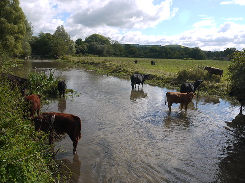
Cattle at Exton
Cattle at Exton
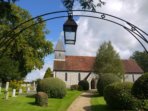
Exton Church
Exton Church

From my fellow walker, I know that I have about 3.5 hours of walking to go.  My legs are grateful for that news, especially as I have Beacon Hill to summit.

Surely, this is the last of the hills?
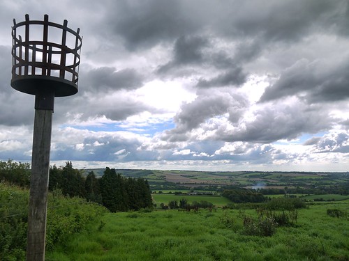
Beacon Hill
Beacon Hill
1pm and I arrive at Milbury's.  I am delighted to break up the walk with a pint.  The pub is a hotbed of South Down Way activity, with several other walkers making use of the facilities.  One even has a shell on the back of her rucksack.  Is this for the SDW or a remnant of the El Camino de Santiago?  Either way, my rucksack looks bereft in comparison.

Licking my lips, I enter the pub and see there are three real ales on.  I go for the "Ale of Wight".

And I know things are going bad when the barman does a three glass pouring trick, trying to get a pint out of all the froth.  "Don't worry, he tells me, it'll be fine when it settles".

I am and it isn't.

What a let down.  Cloudy bilgewater with bits floating in it.
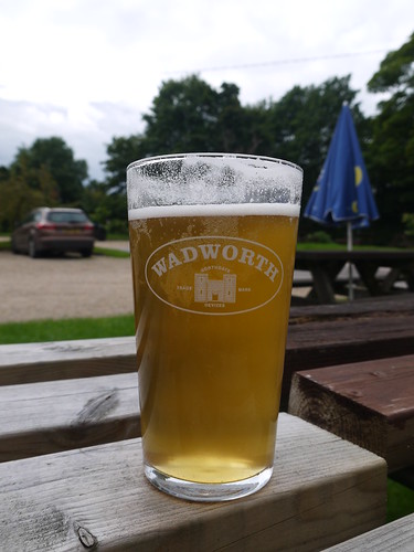
Terrible pint at Milbury's
Still, I have paid for it
I chuck the last third away in the flowerbeds and try a Kronenbourg.  No-one can get kegged lager wrong can they?  Milbury's can.

Any future SDW'ers reading this blog - see if they do bottles.

Gutted, I rucksack up and head off for Winchester.  I'll be able to get a decent pint there, as I know the City.

The last couple of miles of the SDW are not massively inspiring.  I appear to be using my hands to help my legs move, so I am grateful when Winchester comes into view to provide the motivation needed to get me over the line.
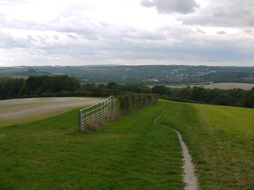
Winchester Ahead
Winchester Ahead
I think long and hard about taking another break but I keep on plodding.  Over the M3 and into the town.

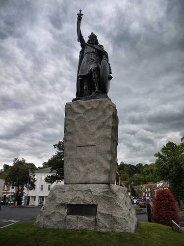
There doesn't appear to be a natural end to the SDW.  The guidebook indicates it is the Youth Hostel, other people I have spoken with suggest either the last marker or King Alfred.

For me, its my pint at the wonderfully located Bishop on the Bridge.
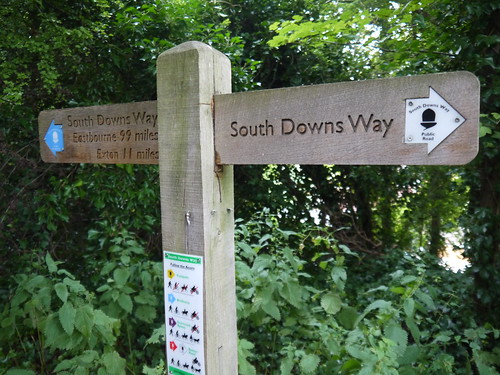
Start - or End?
Not the End
Alfred
Not the End

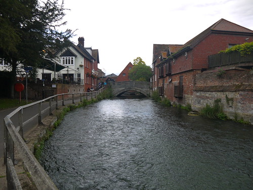
River Itchen and Pub
The Wonderful Bishop on the Bridge - River Itchin

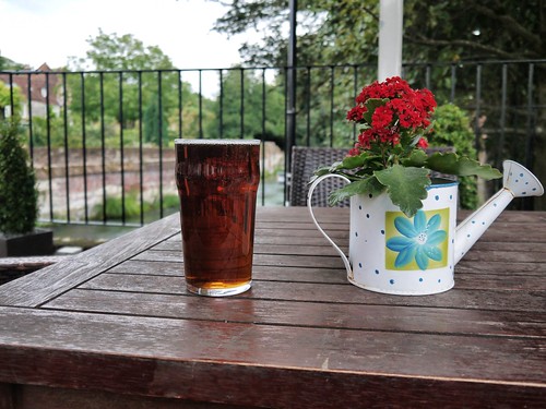
Fuller's ESB to End
Toasting the SDW with an ESB
Winchester is a fitting end to 100 miles of walking over 6 days.

The South Downs Way is over and I'll look for next year's challenge.
Thursday, 3 September 2015

03/09/15 - Twenty Miles to East Meon

Day 5 on the South Downs Way
Start - Cocking
End - East Meon
Highlights - Harting Downs, Butser Hill
Geocaches - 13

Last Night
I left you yesterday, having made new rambling friends.  Like everyone I meet on the South Downs Way, they are walking West to East.  I am going in the opposite direction.  Always a man alone.

After getting into complicated rounds with them, I left them to eat early whilst I blogged.  I came down at 8pm for a decent meal, although paying £8.95 for cheese really ought to get you a wheel.

Beer-wise, the Bluebell is a conundrum.  They had one real ale on - in itself, a bit of a disappointment.  It was a new brew to me, Ballard's Brewery Best Bitter.  It was poured straight out of a barrel on a little shelf behind the bar.  Looked perfect and tasted fine, but the head quickly disappeared as a result of a lack of "Pump Action".  I was forced to move onto San Miguel.  Which wasn't served in its ceremonial glass, which for me, is a critical part of the £4.50 experience.

The pub started to empty at 9:15pm, so I retired to my room and had a fantastic night sleep.

At breakfast, I got talking to a chap who came in at 9:30 last night.  He had walked from Winchester.  38 Miles - the sum total of my next two days walking.  That is seriously good going.

Today's Walk
Out the pub and off to the South Downs Way.  An octogenarian cutting his bush tells me how steep the hills are and how I would be better off helping him with his gardening.  Not being green fingered, I ask where in Sussex I can hire Sherpas.

And then get on with the first climb of the day,

Straight out of Cocking
After the First Climb
I have the SDW to myself again.  After walking three hours, the only other person I see is a lady mountain biker who screams "Bike" at the top of her voice.  I tell her not  to put herself down so much.

There are some better views today.  Harting Downs is classic South Downs way, offering great views.  This takes my mind off the big problem with this leg.  There are no refreshment stops along the entire 20 miles length.  I have only the goods that I am carrying, namely 1 pork pie, 2l of water and a packet of polos.

I will save the polos until I am desperate.

Views of South Harting
South Harting - From Harting Downs
I do think of going off piste.  Buriton would add 1 mile onto the route and appears to have a pub but there is too much walking today to take the risk that it may have closed down.

At 13 miles and 4 hours walking.  I stop for the pork pie.  And a bit of a lie down on a bench.  No one knows me on the SDW.  Not that there is anyone here.

After a 20 minute rest, I head into the Queen Elizabeth Country Park.  Fine woodland walking.  I hope for a visitor centre.  I find a car park.

Queen Elizabeth Country Park
Plod on.  Today, I have walked the entire width of a 25K explorer map.  Another climb is just what I need, this time Butser Hill.

Buster Hill
Butser Hill.  Thankfully, the last of the day

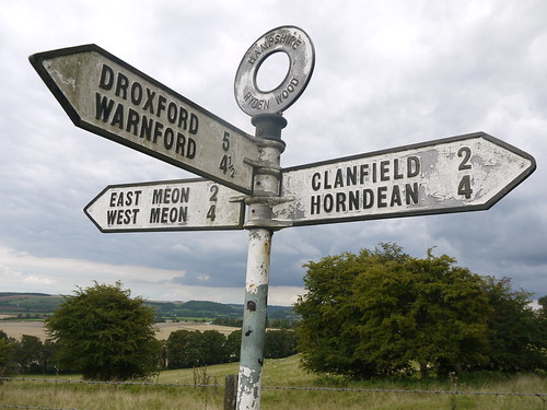
I am that glad when a sign for East Meon comes into view that I open the polos.

Nearly at East Meon
Looks like I have also made it into Hampshire

Water runs out on the approach into the town.  No problem, this is a two pub town.

Its 5pm.  I pop into the shop to ask directions.  Get told that neither pub opens till 6pm.  Think about drinking some Stella on the village green.

The shop's fridge is broke.

Nothing for it, I sit outside and wait for a pub to open for the first time in my life.

Chez Mappiman Night 2
I sit and wait

Wednesday, 2 September 2015

02/09/15 - Cocking

Walk Inspiration - Day 4 of the South Downs Way
Distance - 12 Miles
Geocaches - 16
Start - Amberley
Finish - Cocking
Highlight - Hopefully Tea.

In preparation for the reboot of the South Downs Way, I have been reading the excellent "Walk in the Woods" by Bill Bryson.

Not that my 50 miles in Sussex can really compete with his 2100 mile yomp through the Appalachian mountains.  In Chapter 1, he lists the dangers.  Bear Attacks.  Snake Bites.  Murders.

I am marching onward to Winchester but I am facing death.  This Saturday, the town is hosting a conference on "how to die well".  A long walk, decent beer and a nice meal would be my automatic answer.

I have had a five train (including one that split in half at Horsham) epic journey to get here and all runs smoothly.  I'll have nothing said against British Rail.  Or London Midland, Virgin and Southern Railways.  Alight at Amberley and pick up the River Arun where I left it on day 3.

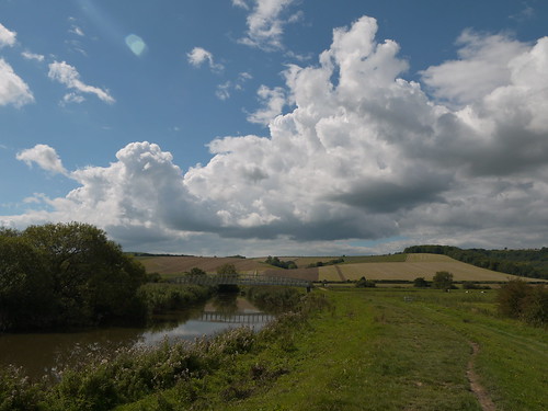
River Arun
The Gentle River Arun
Back on the South Downs Way, climbing Westburton Hill, following the old familiar markers.

Back on the SDW
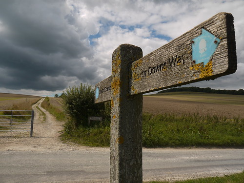
South Downs Way
Now, I don't want to be disparaging about this leg of the SDW, but it fails to meet the majesty of the first three days.  The paths are similar, well waymarked and easy to follow, but Day 4 is distinctly lacking in items of interest.

And I don't just mean pubs.  There aren't really any superb views.  The path gains height, keeps height and then plods on through farmland and forest.

As expected, there are a high number of caches, but there really isn't that much to show on the blog.

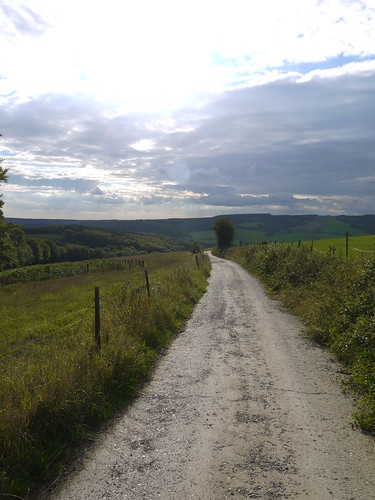
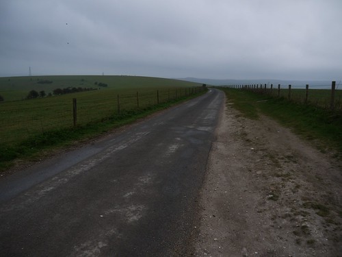
Mainly, it looks like this
It mainly looks like this

After 4 fours and 12 miles. I arrive in Cocking.  Don't even find a sign to take a comedy photo.

I do, however, find three other South Down Wayers, who are going in the opposite direction but staying at the same pub as me - The Bluebell in Cocking.

I text Sonia to say that I have arrived and have ended up in complicated rounds.

She texts back to say that she hopes they are not women.

I say that they have beards.

Chez Mappiman
Chez Mappiman
Let's see what tomorrow holds.


Monday, 13 April 2015

11/04/15 - And I'm off to Amberley

Distance - 14.4 Miles
Geocaches - 12
Start - Tottington YHA
Finish - Amberley Station
Day 3 of the South Downs Way (Other SDW Blogs - Day 1, Day 2)
Highlights - Chanctonbury Ring Fort, Amberley Mount

Last Night
My weary legs that have carried me 20 miles just need to get me up the stairs to the YHA reception.  I am 45 but from the masses huddled in the communal area, I would appear to be the 3rd youngest.  Tarquin and Georgia beat me to the youngest person award by being 8 and 6 respectively.  They appear to be enjoying scrabble.

The rules are explained to me (not of scrabble, I know them - hostelling).  I only need to do one job and that is to strip my bed in the morning.  I can manage that.  Food situation is explained but I have dined at the Devils Dyke pub so more interested in the Bar situation.  They do a nice bottle of Merlot for a tenner.

Settle down with the paper on the comfy sofa.  But this is not etiquette.   Two elderly gents leave their wives playing bridge and sit opposite me.  90 minutes of comparing walking war stories and I am now an honorary member of the Bedfordshire Ramblers Society.

They retire to bed at 10:25, seemingly knowing something that I don't.  I start the Daily Mail.  At 10:30, the lights are turned out.

I would not hesitate to go hostelling again.

The Walk
Its been raining in the night.  Biblically according to the Hostellers that are camping in the YHA garden.  It's grim when I head off with some serious wind but at least its dry.

Start of the Day
Straight On It
Early walking is continuing the easy series of caches, which take me down to the River Ahur and up through Annington onto Annington Hill.  This is where for the first time in my 8 year caching career, a storm stops play.  Initially, I am kind of glad that there is inclement weather as it has justified me bringing overtrousers, rain coat and a dry bag to stash all my valuables, including my camera.  There are 45 minutes of the SDW which will not be recorded.  It's abysmal.

The rain comes in at right angles actually stinging my ears through my hood.  Above the Steyning Valley, I meet a couple of ladies who are less prepared than me, who are in shorts and jumpers.  We acknowledge each other with smiles that suggest we are all mental being out in this, but at least I am a prepared mentalist.

Then in 45 Minutes its over.  And the benefit of the wind is that is clears to gorgeous blues skies and takes away the smoggy pollution.

5 Minutes After the Storm
5 Minutes after the rain stops and camera is retrieved
10 Minutes after the Storm
And 10 minutes later, all is good with the world.
So I'm off again with a spring in my step and a mood that is further improved when a whole herd of deer come charging over the horizon.  Never seen so many together and too awestruck to get a decent photo.

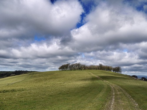
Chanctonbury Ring hillfort soon comes along, offering more great views.

Chanctonbury Ring fort
Approaching the Hill Fort
Views from Chanctonbury
For Smog Free Views

Home straight now.  Despite some weary legs and the identification of where my collar bones are through the gentle reminder provided by my rucksack, I am saddened by the count down of the miles. In three days on the South Downs Way, I would suggest this is the most beautiful to date.

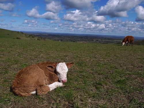
Baby Cow
Although the Baby Cow just wants to sleep.
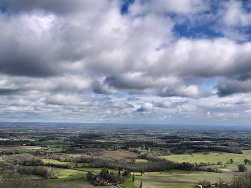
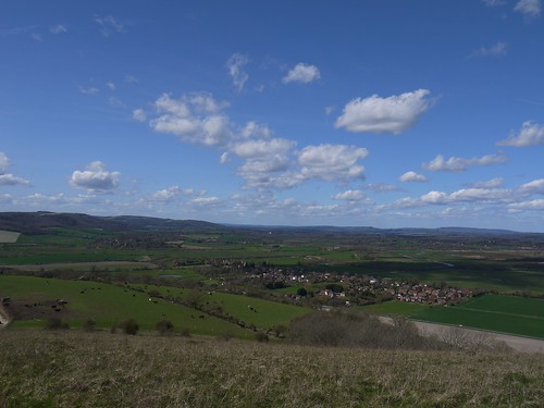
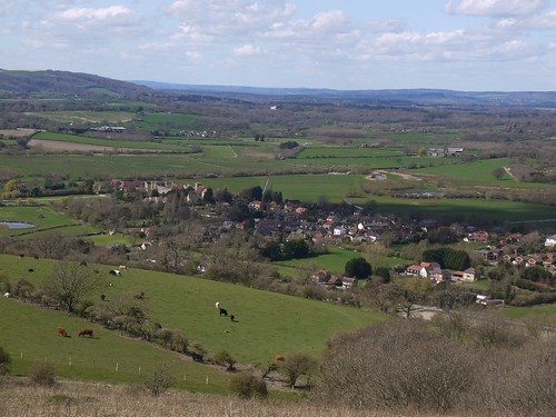
And when I think it cannot get any better, Amberley comes into view.  Amazing views over the plains and a very large (and unexpected) castle down below.

Amberley
Best Views So Far?
Amberley
With a stonking great castle


Drop down off the hill and say goodbye, for now, to my last SDW way marker.

End of the SDW (for now)
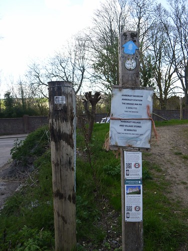
Village Stores, Right - Pub, Left.
It's two hours until the 16:17 to Victoria - so I reflect on my three days over lunch.

I'm already looking forward to completing the SDW later in the year.

Reward
Cheers to  making it half way

Sunday, 12 April 2015

10/04/15 - Youth Hostelling with Mappiman

Distance - 20 Miles
Geocaches - 24
Start - Southease Station
Finish - Tottington YHA
Day 2 of the South Downs Way (Other SDW Blogs - Day 1, Day 3)
Highlights - Cricketing Bottom, Ditchling Beacon, Devil's Dyke

Last Night
Mr M opens the door to the B&B and shows me around.  It is without doubt the cleanest house I have ever been to.  There is no dust.  Not even above shoulder height.  The house is over four stories and I have the 2nd floor to myself.  It does mean the owners are above me and I will have to plan any night time excursions to the lavvy with military precision.  No-one needs to see Mappiman in his anti-chaffing walking pants.

Having established the ground rules and been provided with a key to get back in, I head off to see what Lewes has to offer.  In no particular order, The Brewers Arms, The Lewes Arms, The Rights of Man, The Black Horse Inn and the Packham Arms.  Harvey's best is a new found favourite.  It wasn't all pubs, I also got to see Virginia Woolf's House (bought by her for £300, last sold for £800K), the Castle and where Thomas Paine wrote the Rights of Man (both his house, and the Pub).

Creep back into my B&B and sleep like a log, before I awake at the pre-arranged time for Mr M to make me my breakfast, whilst I sit at the breakfast bar.

Sonia asked me "Didn't it feel weird".  And the answer is "Yes".

The Walk


Today's the big one.  On plotting the route, I realise there is no accommodation easily achievable along this section, until I notice a tiny Red Triangle on the OS Map denoting a Youth Hostel at 20 miles.  Fortified with Harvey's, I'm sure I can make these easily in a long day.

Something to knock off my bucket list at the decidedly unyouthful 45 Years of Age.

The train takes me back to Southease.  I am not the only fella alighting - as a bloke with a bike and another man with a rucksack are hitting the trails.  The bike rider leaves us for dead and the bloke with the Rucksacks disappears into a bush.  He's not geocaching, as I disappear into different bushes.

Cross the second river on the SDW - The River Ouse.  I could have sailed down from Lewes.

River Ouse
Lewes - Upstream
Southease Church
Southease Church - 1 of only 3 in the Sussex to have a round tower

Once out of Southease, I have the delightful Cricketing Bottom to walk.  The SDW is turning out to be exceptional.

Cricketing Bottom
Could walk this for at least another 19 miles.
Once the height is regained a navigational oddity occurs as I cross from the Eastern to Western Hemispheres.  I've noticed this once before walking at Greenwich, when the sat nav jumps from E to W with a shake of the hand.  There is a geocache positioned here.  And a Way Marker incorrectly positioned several metres off.

East meets West
Foot in both Hemispheres
A good seven or so miles are conquered.  Photos were taken but the smog is worse than yesterday.  Geocaches were found.  Many, many Duke of Edinborough cadets were met, most of them lying down chatting.

My thirst increases to the point where I crack jokes with anyone coming the other way to ask if they have seen a pub.  I am mostly met with nervous laughter but this could have something to do with my hat.  Sonia has insisted that I wear it flaps down, as I ignored her advice yesterday and burnt my neck.

Eventually I can see Ditchling Beacon in the distance and the amount of cars means tourists.  And tourists mean refreshments.
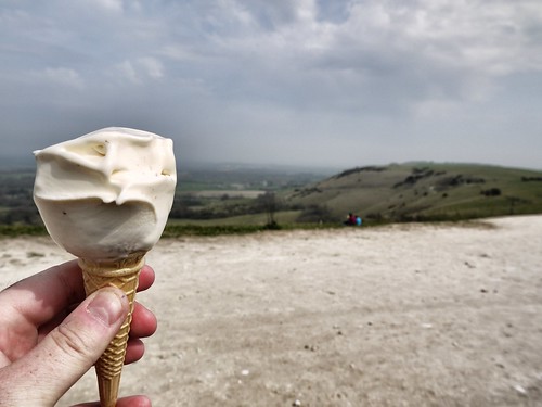
I'd have killed for a pint
He Didn't Sell Harvey's out of his van

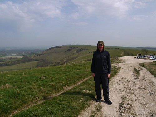
Mappiman at Ditchling Beacon
Walk solo dressed like this if you enjoy peace and tranquility
Partially refreshed, I continue the walk.  I know Haresdean has a pub and its three miles away.  I can walk with the taste of Mr Whippy for that distance.

Another Hill to Climb
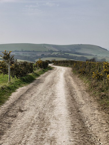
Paths like these make it easy
Alas, on arrival, the pub is on the other side of a nasty dual carriageway, which I have crossed further along.  The pub remains tantalisingly out of reach.

Now I know that women complain about childbirth, but on a long walk - nothing compares with the agony of badly fitting pants.  Even when they are Under Armour Anti Chaffers.  16 miles in and I can take no more and am forced to dive into my rucksack for an impromptu change.
The SDW was thankfully quiet today.

This gives me the impetuous to climb West Hill, drop down again and then climb Devil's Dyke, and the eponymous pub.  18 miles since Mr M's breakfast and just as I have the last slurp of water from my camel pack.

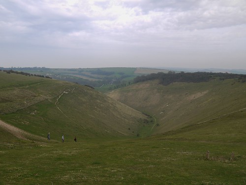
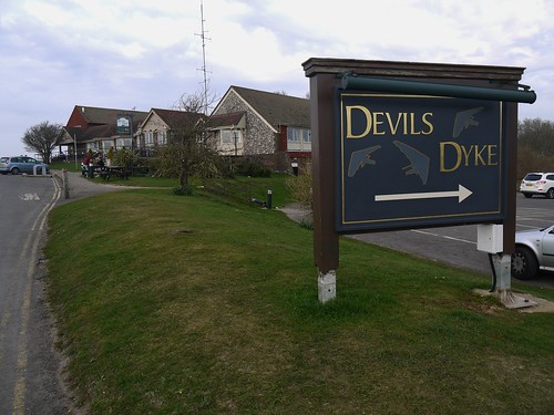
Devil's Dyke
Devil's Dyke.  Pub at the Top.

At Last!
Stella Starter, Steak Main, Stella Pudding.  With a side of Stella.
A sit down for an hour and the promise of some very densely packed caches gives me the energy to get back out for the last two miles to the YHA.

Thankfully, the walking is beyond gorgeous and it is a delightful evening.

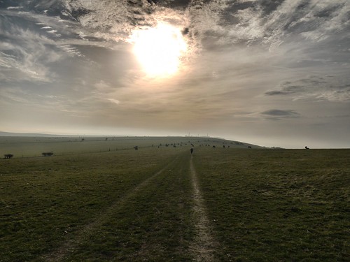
Evening Joggers
Jogger setting the pace into the Sun
Sussex Safari
To take me on a Sussex Safari
YHA is up that Hill
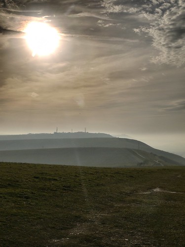
Just need to get to those Radio Masts
L not a C
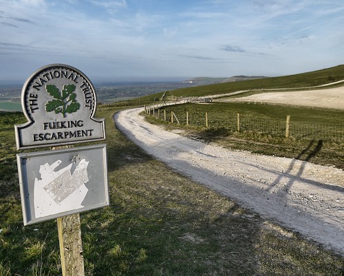
And around Fulking Escarpment
20 miles in and feet beginning to hurt, I pronounce that I am glad that it is Fulking over, as I arrive at the YHA.  Quickly check out rules before I break my hostelling virginity.

But just who lives in a place like this?

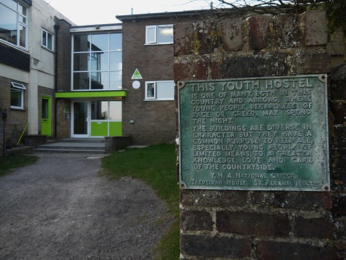
YHA Rules
For Young People of Limited Means


09/04/15 - Discovering the Home of Banoffi Pie

Distance - 15 Miles
Geocaches - 12
Day 1 of the South Downs Way (Other SDW Blogs - Day 2, Day 3)
Start - Eastbourne Station
Finish - Southease Station
Highlights - Windover Hill, Alfriston, Firle Beacon

The Context
It's been a while since I have had a really big adventure.  I have been lovingly caressing a book called "The Inn Way".  Not only is it a 6 day walk in the God's Country of Yorkshire, it's also involves popping into 26 pubs.  It's as if one day, God woke up and tasked someone with writing the perfect Mappiman book.  I tentatively broach the subject with Sonia, who asks whether it could be broken into two long weekends.  Unfortunately, public transport does not appear to have made it to Reeth, so I find an alternative that can.

The South Downs Way.  This is around 100 miles, starting at Eastbourne and ending in Winchester.  There is a train station exactly half way through at Amberley.  It's perfect.  I book the first half for April 2015.

Two days later, as my tea is being lovingly served, Sonia hits me with the news that she's off to Portugal with the girls for 4 nights.

The Walk


Cheap booked rail tickets mean that I do not make it to Eastbourne until 12:45.  This is half an hour earlier than expected, thanks to getting across London on the underground quicker than the booking computer reckoned was possible.  Great news - time is tight to make the Lewes train from Southease and this leaves a real possibility of a stop in Alfriston.  If you had ever been there, you would not want to just walk on through it.

Glorious weather all the way down but these are the days of the record smog levels in the South of England.  There is a picture in Saturday's paper that shows the Shard in London completely disappearing.  So although, I have a day where no jacket is required, the views are not quite as they should be.

Alight at Eastbourne in a sea fog and head through the town to the Start of the South Downs Way.

The Start
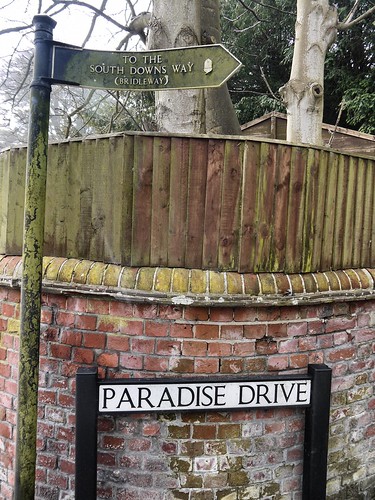
It's that good, Paradise Drive takes you there
Unless I missed it, there's no grand announcement that you are starting the South Downs Way. Paradise way leads to a turning on the left where you are out in the countryside.  No monument or signage noticed as I make my way steadily uphill on the chalk path, gaining height to get onto the ridge.
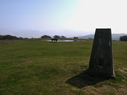
GZ of Cache Number 1
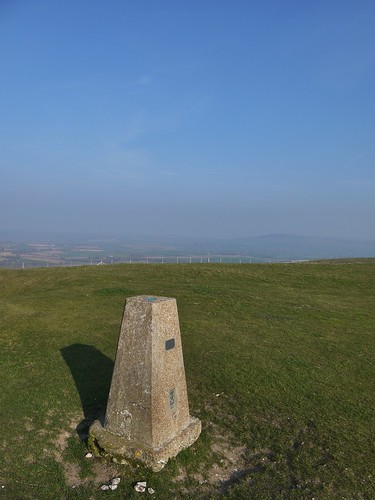
First Trig Point - with First Geocache of the Day Close by
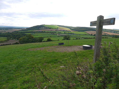
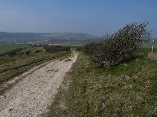
As expected, the walking is stunning.  Easy wayfinding on a broad path with views that just seem to get better and better.  And a lot of Geocaches

The South Downs Way
Early Days on the SDW - Which I appear to have all to myself
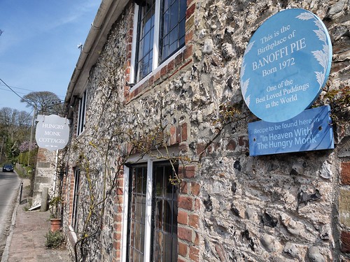
First sign of civilisation is Jevington.  Pretty little village that has a pub and a restaurant where they invented Banoffi Pie.  Not being a massive pudding man, I am unsure whether this is a good thing but the things you learn rambling.
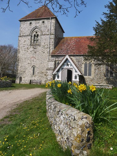
Jevington Church
Jevington Church
Jevington
A haven for pudding fans

Leaving Jevington, I play leap frog with two ramblers who I assume are father and son.  They walk for much further than their jeans would suggest but get in the way of my caching.  Eventually, I stop worrying about it and rather brazenly attack the caches.  I'm not the only one - as I meet a family of cachers who have sent the eldest son into the prickly bushes to make a retrieve.

The first real highlight of the SDW is Windover Hill, where the landscape forms a natural bowl below the path.

Windover Hill
Windover Hill

Windover Hill
Meandering around the Natural Bowl
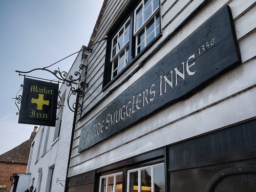
We holidayed in this area back in 2008 and I remember Alfriston well.  It had several cracking pubs and as I am making good time, I can stop for the first pint on the SDW.  A choice to make, I go for a two pubs for the price of one offer.

A Pub With Two Names
The Smugglers Inne and the Market Inn
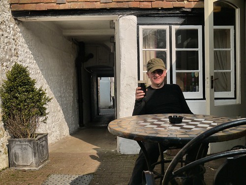
Pint Number 1 on the SDW
Harvey's Old Ale becomes Pint Number 1
Refreshed, I head back on the trail.  Always nice to have a steep climb, post pint.

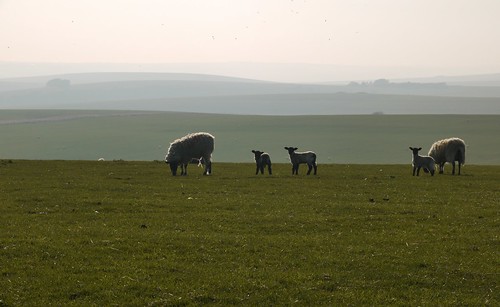
Caches, views and damn fine walking are on offer as I make my way to Firle Beacon.  Sheep and the occasional mountain biker are all I have for company.

Up on Overhill
Mountain Bikers go too fast for a photo of their luxurious hipster beards.

Firle Beacon - Spot the Cache
Firle Beacon - Contains a Geocache - if you know where to look

Radio Station on Birlingham Hill
The Radio Mast is near  the end of today's walking
Red Lion Pond
Last Trig of the Day - Red Lion Pond.  Alas, no pub.  Just sheep
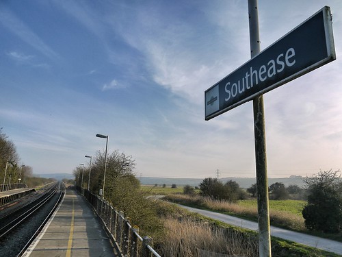
From the Radio Mast, I can see Southease Train Station.  A more desolate train station has yet to be encountered.  After 15 miles, 5hrs 15 minutes of walking and 10 minutes for a pint, I am here 20 minutes early for 18:35.

Southease - Take me to Civilisation
That relieved when the train stops, I wave at the driver
I have booked a B&B in Lewes for the night that has no presence on TripAdvisor.  Sonia has been filling my head with all sorts of horrors about the sorts of people that take in solo ramblers into their home.  Its a 10 minute walk from the Station to Paddock Lane and I knock the door of a suburban home to announce my presence.

Will I survive for Day 2?