Showing posts with label Trail. Show all posts

Saturday, 24 February 2024

24/02/24 - (Most Of) The Hartsop Horseshoe for the Brotherswater Inn

 Still got a few mountains in us.... but the clock is ticking


Plenty of things to concern yourself when knocking off the Wainwrights in your fifties. Not least the parking. Alas, three middle aged men cannot navigate the M6 from the Midlands without making detours at Keele, Knutsford and finally Carnforth. Disappoint abounds that we missed out on the Greggs at the more traditional services stop at Lancaster.  When we could do the trip as a one stopper.

It with a huge amount of luck that we grab the very last parking spot in Hartsop Village. 2 minutes later and the pubs of Kendal would have got a hammering from lunchtime.

But I've got to admit, that we don't feel that lucky when boots on, we look at the ascent.
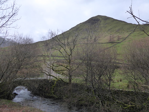
False Summit of Hartsop Dodd
We need to follow the walk on the RHS to the FALSE summit of Hartsop Dodd

It's unrelentingly steep and a challenge for three blokes that have all recently taken advantage of NHS pre-paid presecription certificates. Despite the fact that I am the "walk leader", my frequent stops to get my breathe back take photos mean that I am definitely bringing up the rear. 

We hit the snow and the clag at Hartsop Dodd. A good mile of relatively flat walking across Cauldale Moor to Stony Cove Pike provides some easier walking even if we can't see much.

A challenging "hands on rock" descent across Threshwaite Crag, where we are back under the cloud cover. A decision needs to be made after lunch. The planned route required climbing back into the mist and snow.  

Pasture Bottom - with its handily placed escape route path - proved just too much of a temptation.

Looking down Pasture Bottom
Why go up, when you can go down?

I'm delighted to say that through this blog, I can determine that I've missed nothing in the quest to tick the 214 Wainwrights. Was it really 9 years ago since Gray Crag and the Thornthwaite Crag beacon were ticked? Has my mountain speed really dropped by 25%? No bloody fun getting old, is it?

The only thing to do is to retreat to the pub to ponder these, and other questions.

The Brotherswater Inn is handily placed and we are grateful that it is open, having passed the skips outside the Kirkstone Pass Inn earlier in the day. England's second highest pub remains closed. WhatPub's listed reason for closing, "Building Work", enters its third year.

Brotherswater Inn
Back to the Brotherswater Inn

The Brotherswater Inn is open for business. A remote pub that no doubt gets most of its business from the attached campsite. Of course, this means the usual table reservations of an itinerant clientele. But 3pm, we are OK to be seated and sample a beautiful Tirrel's IPA, admiring the views from the floor to ceiling windows. 

2 more Wainwrights ticked - bringing me to 86/214 - over 17 years.  

The post pint consensus is that the frequency of charging up the M6 needs to significantly increase in our last good years.

Walk Details

Distance - 5 Miles

Walk Inspiration - Trail Magazine January 2014 Walk 1

Geocaches - 1


Friday, 23 September 2022

23/09/22 - Giddy Edge, High Tor, Riber Castle and the Heights of Abraham

Distance - 10 Miles

Geocaches - 5 Traditional and 6 Adventure Lab Caches

Walk Inspiration - Trail Magazine, November 2021, Walk 10

This may be the first time that a film has inspired one of my walks.  I recently re-watched Dead Man's Shoes.  The first time I watched it, I was blown away by the twist.  The last time I watched it, I thought I wonder which town it was filmed in?

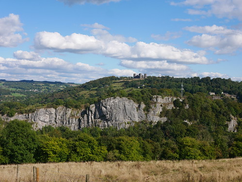
The distinctive castle, which is a key location in the film, is Riber Castle.  It dominates the landscape and you can see it everywhere from Matlock, Derbyshire.  

Riber Castle
Riber Castle

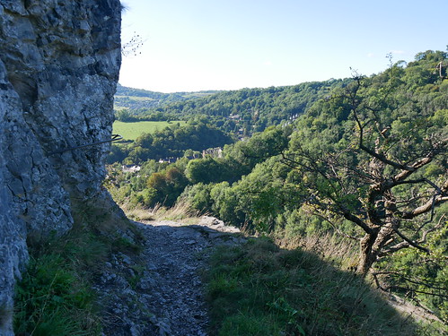
And there is something else to interest the rambler in Matlock.  Giddy Edge is a 3ft narrow path that runs along a 300ft cliff face.  There is a handrail one side and a sheer drop the other.  Rambling traffic allowed in only one direction.

Giddy Edge
Don't look down from Giddy Edge

It was over in a flash and recorded for posterity on a go pro camera that turns 70 seconds of video into a 1/2 GB video. Other people have uploaded it to Youtube, with audio and drone footage - so I'll point you at something created by experts with a better sense of drama.


With the excitement out the way early, the walk turns into the probable winner of "Walk of the Year, 2022".  Constant fine views as I make my way to Riber Castle and down to the former railway line of High Peak Junction.  The return is via Cromford and the Heights of Abraham.   

Simply splendid.

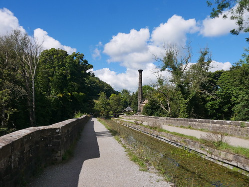
High Peak Junction
Down on the Valley Floor at High Peak Junction/Cromford Canal
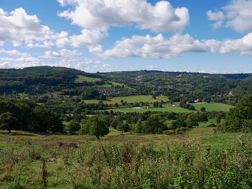
Derbyshire Views
Many Derbyshire Views

All it needed was a pub to round off the walk - but I am saving myself for the evening, where four Good Beer Guide Ticks await.

Blog report to follow.

Friday, 11 December 2020

11/12/20 - St Just to Cape Cornwall

Distance - 7 Miles

Geocaches - 8

Walk Inspiration - Trail Magazine, Jan 2021


The final walk of the week.  It always nice to do one that starts from your temporary accommodation's front door - especially when its one from this months edition of a popular magazine.  Trail Magazine have also gone looking for Tier 1 pints.
Across fields to the Cot Valley and Lands End Youth Hostel, labelled by the same people that named London Luton Airport.

YHA Lands End
Youth Hostel - Not at Lands End

The coast picked up where the footpaths get confusing at Gribba Point.  But don't leave the footpaths, we are reminded, lest you fall down a shaft.

Guide Dog in Training is kept on her lead.

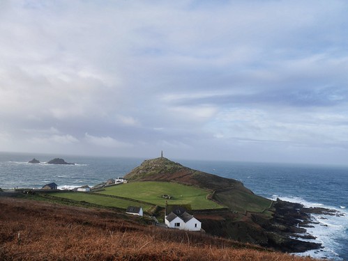
I could bring you plenty of photos of the sea crashing onto the rocks from up on high, but as Cape Cornwall is the star of this walk, it can get all the image glory.  The point where the two bodies of water meet, the only other place in the UK is Cape Wrath.  What may not surprise is that the National Trust are still charging for parking when the cafe and toilets are shut.

Guide Dog in Training Abi
Guide Dog Abi, perfecting her modelling skills in case she fails

Cape Cornwall from the South

Cape Cornwal; from the North
And from the North

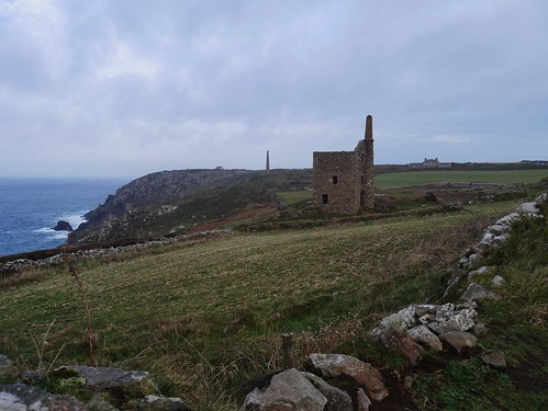
The final stretch of coastal walking for 2020 leads us to the mines at Botallack, where we meet the paths from Tuesday's Walk.  Little by little, I am completing the South West Coastal Path.

Bottalack Mines
Mines of Botallack

Too early for the Queens Arms at Bottalack but we are reasonably sure it's open, as the sandwich board was displayed on the main road.  Another one for the Dubius Good Beer Guide Tick Panel, as this is a proud entry in the 2021 edition.   
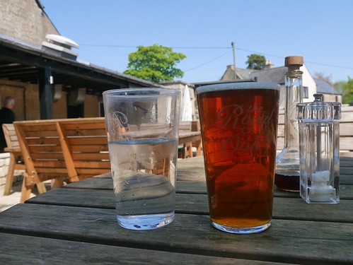
Of course, we know what awaits for refreshment at St Just.

Queens Arms Bottalack
Another quality refreshment stop

Star Inn, St Just

The Star Inn, St Just
The Star Inn

In retrospect, it was a foolhardy attempt to get my first Good Beer Guide Tick since the new Tier Laws were introduced at a pub that has a bar guarded by an electric fence.

But at this point in the holiday, I was sure that Tier 1 pubs were open to all and confident enough in my own abilities as a master of disguise that I could get in.  With collar pulled up and full face mask on, I enter, hand santise and wait at the bar for service.

"Where are you from?" booms our pub superstar of Twitter. 

He takes me outside for a little chat and I know from experience that its pointless to argue with publicans, who can refuse service for any reason.  He was polite, but seemed to be accusing me of driving all the way from Worcester just for a pint (half right, I was doing some walking too) and then banged on about how the Government has made Cornwall a target.  

The upshot, he couldn't serve anyone from Tier 2, as he didn't do food.

Having been in Cornwall a week - some, but not all pubs, have taken a similar stance.  It still makes no sense and I still can't believe this was real reason and he just didn't want outsiders in his pub.

As always, Twitter provides a steer.  An interesting interview.  

Landlords have my sympathies trying to interpret the rules but how has going to pubs come to this?  

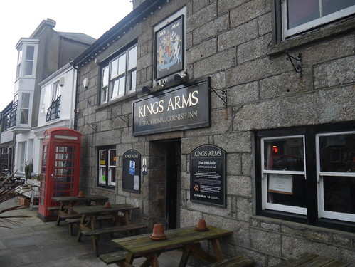
The Kings Arms

Kings Arms, St Just
The Kings Arms, St Just

100m away, so all was not lost.  The Kings Arms does food as well as hospitality.

This became our base for the week and does a Sunday Lunch to die for, excellent food at mid week and we were allowed take part in the quiz.

We won and the fact that only one other team of pensioners entered will not stop me feeling proud that my Rage Against the Machine knowledge brought us victory.

We celebrated with a perfect St Austell Proper Job.


Thursday, 19 March 2020

19/03/20 - Barf, Lord's Seat and Broom Fell - 3 Wainwrights

Distance - 6 Miles
Geocaches - 3
Walk Inspiration - Trail Magazine, Feb 2015, Walk 9


With pubs out of bounds, I need to find something else to tick off. A couple of unexpected days in Keswick and the answer is obvious - back onto the Wainwrights.

Leaving the family slumbering in the AirBnB, I head off early to knock off three easy ones on the western side of Bassenthwaite Lake.

Parking is available in a little car park opposite the former C17th coaching house, the Swan. Now apartments.

Swan Hotel
Would have been of limited use in Today's climate
The hard work - and it is hard work - is completed early in the walk.  It's steep climb alongside Beckstone's Gill and it involves a crossing where there is no bridge and some hands on scrambling.  The reward is increasingly lovely views of Bassenthwaite as you get your breath back.

Beckstones Gill
Danger - falling rocks, slippy rocks.   Rocks in general
I've once again read the guidebook when I got home - so I missed out on Wainwrights loving description of the Bishop's Rock - apparently whitewashed by Keswick mountain rescue.

Barf provides the views - east over the lake and west to the next top to be peaked - Lords Seat.  It's an easy path and with the height gained, a doddle to walk.

Geocaching on the top of Bark
Celebrating Geocaching Success
Nothing really on Lord's seat but a bit of old fence ironwork.  The route to Broom Fell is clear - its a there and back walk to get the tick but at least there is an impressive cairn and a bit of a shelter to rest at - if only I had packed a breakfast.

Broom Fell Summit
Broom Fell Summit Cairn and Shelter
My guide route wants me to head north into Kings Wood.  The target is obvious but no clear path and when I arrive at the woodland boundary - a new fence has been erected, with no obvious stiles to cross.  Still, there's no way I am going back up across the heather and its not barbed wire topped.

The forest roads within remain true to the OS Map and its a zig zag down to the road at Woodend Brow and a 1/2 mile of roadwalking back to the motor.

Through Kings Wood
Kings Wood views of Bassenthwaite
A super walk for the time limited.

Saturday, 23 March 2019

23/03/19 - Shining Tor, Cat and Fiddle No More

Distance - 12 Miles
Walk Inspiration - Trail Magazine, April 2005, Walk 3
Geocaches - 6
Pub - None

In normal conditions, this would be the best walk in an occasional series "Adventurous Pub Walks in the Peak District".   You can guess what's coming.   The only pub on route has been closed for four years.

A real shame.   The Cat and Fiddle is that iconic, its even named on the OS Map.   It was the 2nd highest pub in England.  Who knows where that accolade is held now?   I'm glad to have visited it in my early blogging days.

The scenery and walking remain as timelessly excellent as ever.

Due to Sat Nav confusion, where I mistook my cars directions at a hair pin bend near Derbyshire Bridge for "drive along a public footpath", we don't make the suggested parking at Errwood Reservoir.   With the C&F dominating the view on its high ridge, we make for a lay-by there instead.   Its adds maybe a mile and a half to the overall walk.   At the end of the day, not all members of my party are entirely happy with this.

On top of Stake Side
The bit of bonus path on top of Stake Side
We head down Stake Side, across moorland and then through woods to reach a minor road at Goyt's Moss.   Acting the good Samaritans, three of us help push a camper van that has got trapped in mud.  It contained the most laid back antipodeans you could hope to meet.   I am not 100% sure they even wanted assistance, but once Paul had decided we were helping, that was that.

More Moorland walking up the other side of the valley, where we take advantage of the open access rules to head dead North along Burbage Edge.   Stunning views to the right over Buxton.

Buxton from Burbage Edge
Views over Buxton
Wildmoorstone Brook provides more superb walking to Errwood Reservoir.   Bleak, lonely and blissfully quiet.

Coming Down to Errwood
2/3rds of the Camper Van Rescuers
Errwood Reservoir
Errwood Reservoir

A near complete Circuit of Errwood reservoir and we're up into the grounds of Errwood Hall - a collection of Victorian ruins.   We don't get to see the main ruins of the hall but on the way to Pym Chair, the footpath does take us to a little curio.

The Shrine
The Shrine
Entry can be gained.   There's some religious iconography and a little book to record your visit, where we learn that someone has got engaged there today.   I'm more interested in the little book in the nearby geocache.

Pym Chair provides endless views over the moorland and a long, straight and often flagstoned footpath past Cat's Tor to Shining Tor - the highest point in Cheshire.

The Way to Shining Tor
Shining Tor, with the more handsome Shutlingsloe in the background

There's not much to mark the flat summit of Shining Tor - a trig point the otherside of a wall and a much needed bench to finish lunch off and to toast a county top with Paul's single malt.

We'll say nothing of the grumbling once we exceed the 10 miles that I said the walk would be.

Back at the Cat and Fiddle to record it for posterity.   There may be a chance it will reopen.  The fixtures and fittings are all there - a peer through the windows revealed the furniture and a pool table, rendering the pub with a feel of abandonment similar to the Marie Celeste. 

Cat and Fiddle
2nd Highest (former) pub in England
Cat and Fiddle
Stone Inlay

Cat and Fiddle
Gav, feeling fiddled on this particular Real Ale Pub Walk

Monday, 7 May 2018

07/05/18 - All around the Wolds from Andoversford

Distance - 11.5 Miles
Geocaches - 2
Walk Inspiration - Trail Magazine Route
Pub - Royal Oak, Andoversford, Otter Bitter


Would you believe it?  A bank holiday Monday and the weather is beyond gorgeous.  Having burnt my neck on yesterday's geocaching trip in Warwickshire, I am forced to wear protection in the Cotswolds.

Flaps Down
Flaps Down in the Cotswolds
Its OK though.  No one knows me in Andoversford.  I've not even heard of Andoversford before and I thought I knew the Cotswolds like the back of my hand.  This is a tiny village on the outskirts of Cheltenham that's self sufficient.  It has a pub.

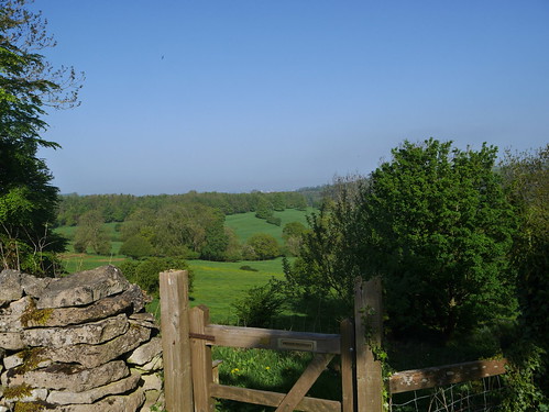
I head west, making steady progress through very boggy horse fields to make a climb of Kilkenny Hill.  Sounds more Irish than Gloucester, but fine views are available of the county capital.

Ascending Kilkenny Hill
Marching up Kilkenny
Early Views to Gloucester
Gloucester in the really far distance

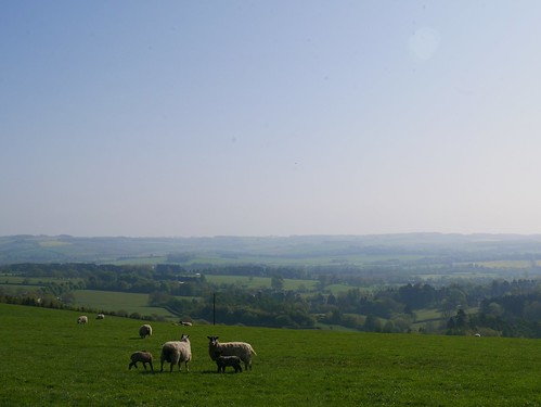
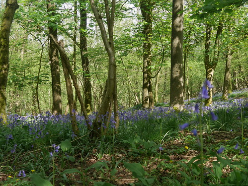
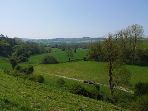
This walk provides a circuit of the Coln Valley.  The walk is evenly split - when you've had enough of the amazing views, you drop into Withington Woods for some bluebell infused shade.  You cannot help but smile when you're sharing the route with squirrels, deer herds, the odd rabbit and unidentified birds of prey circling overhead.  Out for four hours and I see a grand total of two walkers and three horse riders.

For the Views
Oh... and Sheep of course
Withington Woods
Bluebell Woods of Withington

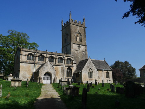
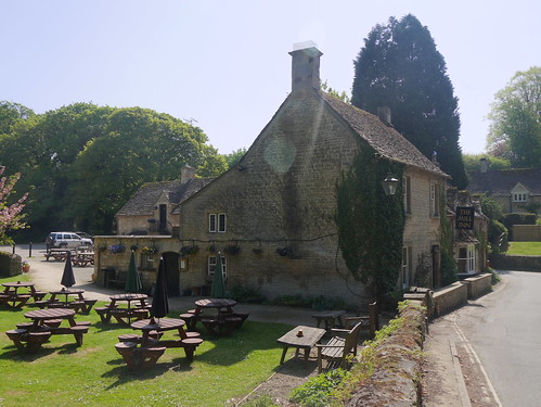
Time the walk correctly and you could have a two pub walk.  Withington Village is handsome, containing some fine buildings - including an impressive church and one of the most idyllic pubs I've stumbled upon.  I can see this being a base for a future walk.

P1020768
Withington Church
The Mill Inn, Withington

Out of Withington and a climb from the beautiful Coln valley floor.

Coln Valley
Coln Valley Floor

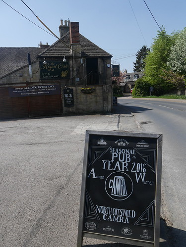
Water reserves expire a mile from Andoversford, which means I burst into the bar of the Royal Oak in a fashion not observed since Alex Guinness in Ice Cold in Alex.  The Oak has not been in the CAMRA Good Beer Guide for at least a couple of years but it looks like they used to have a good relationship.

Royal Oak, Andoversford
North Cotswolds CAMRA POTY - 2016
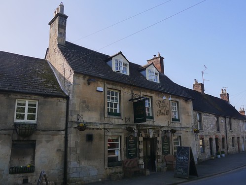
Royal Oak, Andoversford
Classic Cotswold Boozer

In another pub, lunch would have been a fish finger sandwich but here, it was Cod Goujons, with a choice of ciabatta or brioche bun.  I might of been out of my depth with the cuisine but I know my way around the bar.  An Otter Bitter could only be improved on a day like this with a water chaser.

An Otter with a Water Chaser
Two Drinks Mappiman

Saturday, 3 June 2017

03/06/17 - The Darent Valley

Start - Dartford
End - Sevenoaks
Walk Inspiration - Trail Magazine, September 1995
Distance - 17 Miles
Geocaches - 16
Pubs - The Lion Hotel, Farningham and the Anchor, Sevenoaks

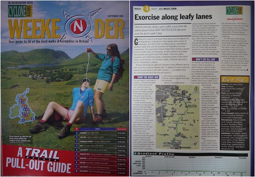
There are some things that improve with age.  An example is Trail Magazines estimation of distances on their walking routes.   This gem of a walk was from back in the nineties, where they seemingly calculated the distance with a sextant.  It is advertised at 13.5 miles, so I planned rail trips on pre-booked trains to give me 6 hours.  I then plotted it in my GPS and was horrified to find it was more like 16 miles.

Geocaches and pub visits are in serious jeopardy if I need to keep up an average of 2.8 mph.

Route Guidance
22 Years Old, The route remains - longer than advertised
I choose to begin the walk in Dartford, picking up the River Darent in the park.  Dartford looks like a place filled with civic pride.  Lots of posters of Dartford celebrities - Mick and Keef, the most recognisble.  Information boards everywhere, including on the side of their pubs.

Wat Tyler
Wat Tyler Pub, Dartford

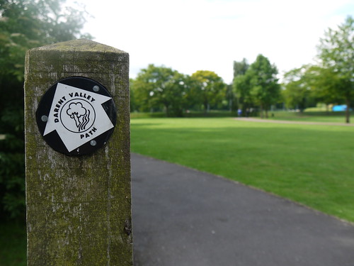
First Sign of the Day in Dartford Park
Day's First Signage in Dartford Park

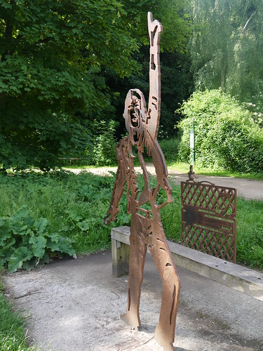
Mick
Mick!
The walking is very easy, all flat and following the River Darent in the main, with the odd excursion along leafy lanes.  There's a fair amount to keep the history buffs interested - Roman Villas, Castles, memorials to WWII fighter aces and the villages are picture postcard perfect.

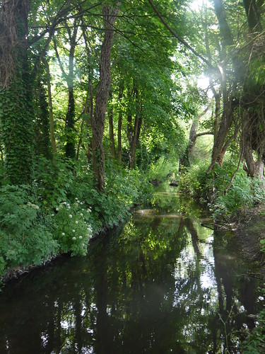
River Darent
Mainly, the walking is like this.
The first village is South Darenth.   Three pubs, if you inlcude the Chequers in Darenth.  None were never expected to be visited, as its only 10:30am.

Darenth
Guess the Pub Name?  You got it, The Bridges

Out into the Fields
Out under big skies
The geocaches start in earnest, but with limited time, I avoid any lengthy hunts, caches with latin hints, caches requiring waders and caches where little children are sat at GZ.  On a day with more time, I could have bagged up to 40 smilies, showing that geocachers know the best routes.

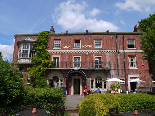
Farningham is simply too pretty to be avoided.  The route brings me into the beer garden of the Lion Hotel.  Its a handsome looking C16th Boozer, next to a folly bridge and a beer garden full of cyclists and families picnicing.  It was neither the obligatory visit from Charles Dickens or the Cask Marque sign that convinced me to stop for a 10 minute breather.  Only disappointment was the one real ale on.

Stop 1 - White Lion, Farningham
Time constrained, but unavoidable
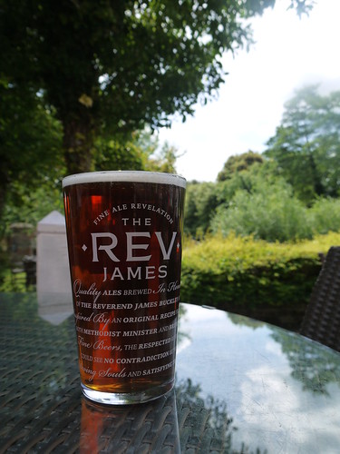
Doom Bar
No, its not Rev James.  Its Doom Bar.
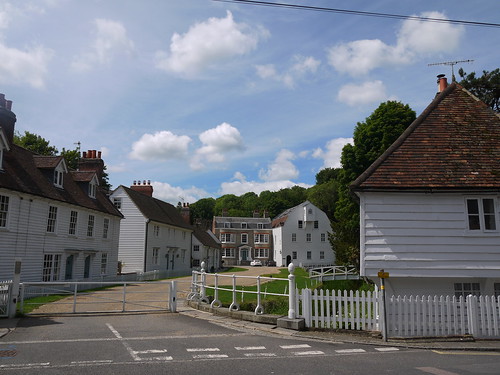
Farningham
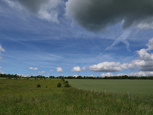
Farningham looks mainly like this.

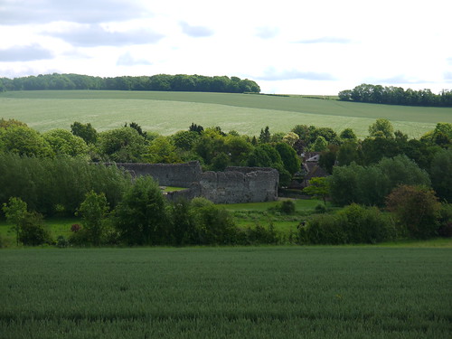
A long stretch along the wonderfully monikered Sparepenny Lane.  Memorials to crashed Spitfires and views over Eynsford Castle, built by Normans.

Eynsford Castle
Eynsford Castle
The countryside is picked back up as I make my way down to Lullingstone Castle - been in the same family since 1497 & host to Elizabeth I and Henry VIII, history fans.

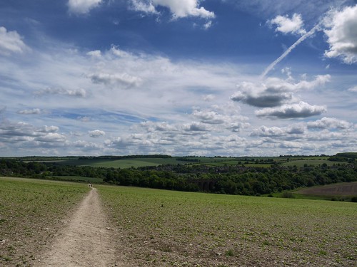
Big Skies
More Big Skies on the Darent Valley Walk
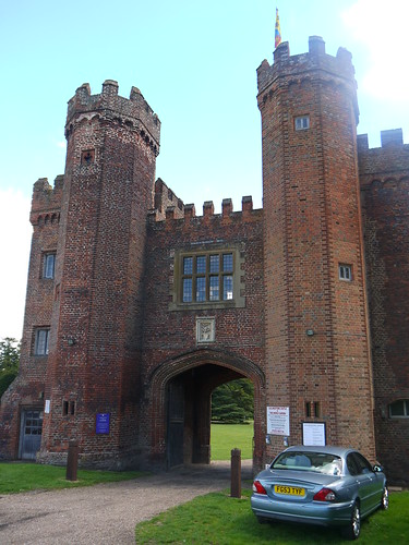
Lullingstone Castle
Lullingworth Castle

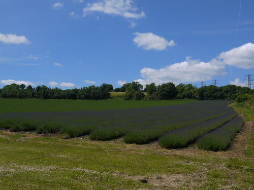
Hop fields and lavender fields take me to Shoreham, a place that I really should have stopped at.   The George looked wonderful, but I checked my progress and can only afford one more stop.  I'm hoping that Sevenoaks Station has a suitable watering hole to celebrate the end of the walk.  I actually make my way to the George bar, unclipping my rucksack when Sensible Mappiman mutters into my head about delayed gratification being the best gratification.

Lavender Fields
Fields of Purple Lavender
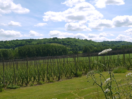
Hops Fields
Where the magic comes from
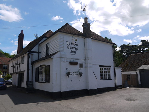
Should have Stopped at the George, Shoreham
Should have stopped.
It was a mistake.

There's a good five miles to Sevenoaks.   The water runs out.  Its a route march into the town, where there's not even a shop for refreshment.  By the time I get to Sevenoaks Station, I'm dryer than Ghandi's flip flop.

Still, the good news is I have 50 minutes before my train.   Every station in the country has a rough pub next to it, usually called the Station or the Railway Inn.  Not Sevenoaks.  Its got a funeral parlour. a Lamborghini showroom and of course, a Costa.

Coffee ain't going to do it, so I walk the mile up to town - looking all the way for a pub.  Is that a pub sign on the side of a building?  Kind of, but on closer inspection, it's a Chocolatier.

Chocolate ain't going to do it.  By the time I reach the Anchor (my first Good Beer Guide tick in Kent, so all was not in vain), I can barely speak to the landlord (possibly Barry) to get my order across.

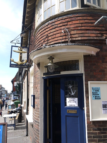
The Anchor, Sevenoaks
Good Beer Guide Entry - The Anchor
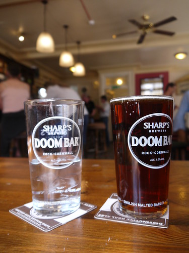
Harvey's Best, Water Chaser, Doom Bar Glass
Harvey's Best, Water Chaser, Doom Bar Glasses

If the future Mappiman does this walk again - remember, you need more than six hours and don't walk on by the George in Shoreham.