Distance - 11.5 Miles
Geocaches - 19
Inspiration - TFL Country Walks Book 2
A step back in time, following a route in a 1973 Guidebook encouraging Cockneys to get some fresh air.
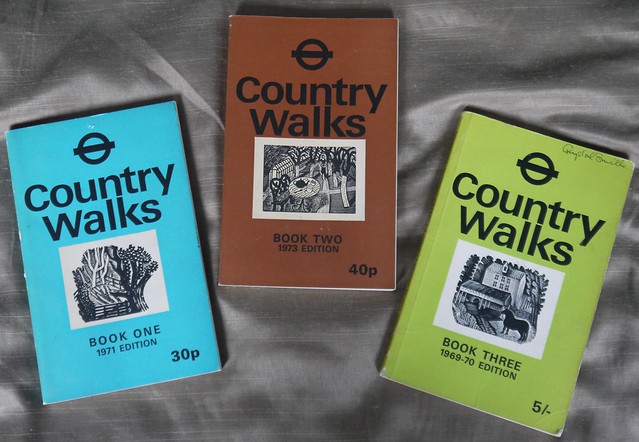 |
| The Beauty of EBay |
Today's walk is from Book 2 and starts in a town that I have never previously had cause to visit, Leatherhead.
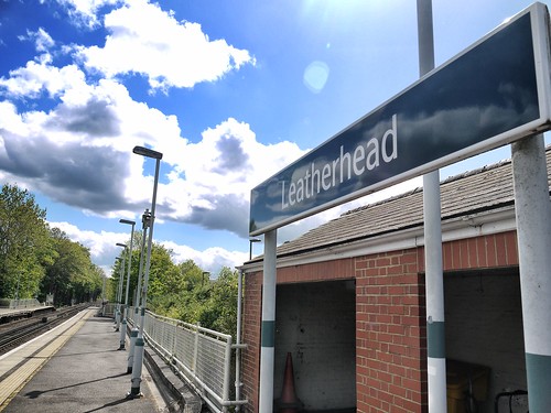 |
| Leatherhead Station |
Out of the station, over the new road bridge, leave the last bit of civilisation behind at the leisure centre and climb Hawks Hill on decent paths.
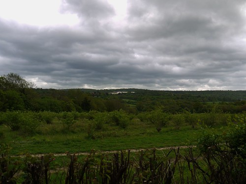 |
| Can see why its called Leafy Surrey |
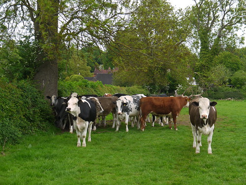
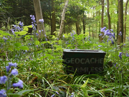
Always a pleasure when a random walk turns out to be cache laden. Plenty along Admiral's Road, as I pass the wonderfully named Roaringhouse Farm.
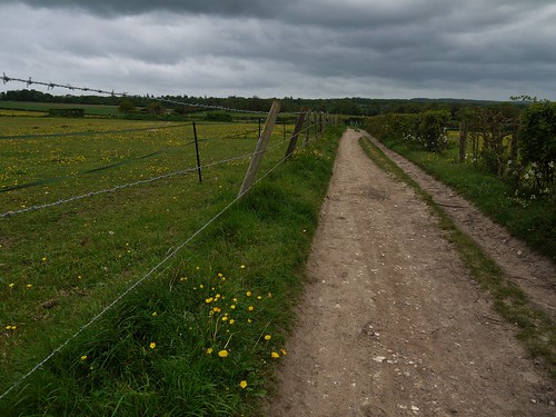 |
| The Admiral's Road |
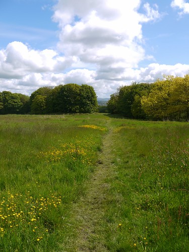
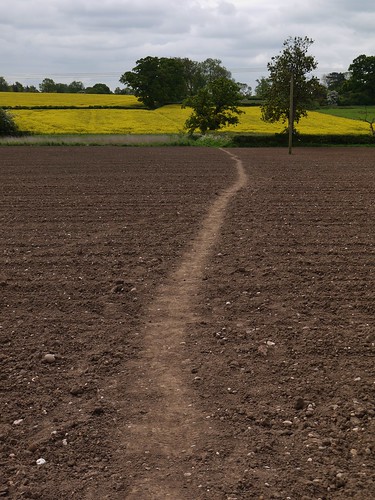
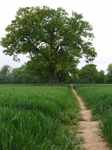
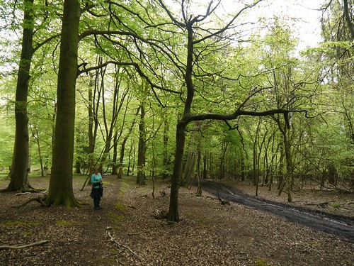
Admiral's Road turns into Connicut Lane, a lovely green lane where the overhanging trees shield me from one of the two showers we have today. Goretex can remain in the backpack and I can concentrate on the route finding through the bluebell laden Freehold Wood.
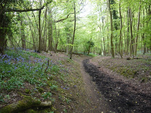 |
| Freehold Wood tracks |
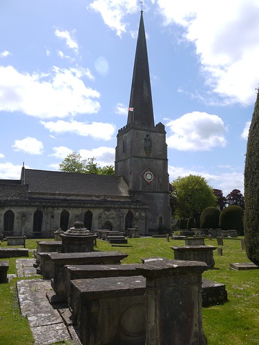
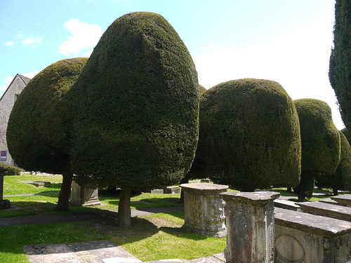
I skirt the edge of the grounds of Polesden Lacey - A National Trust property that I don't quite get close enough to see. The public footpaths taken skirt the edges and deliver me to Chapel Lane, a bit of road walking into the hamlet of Westhumble.
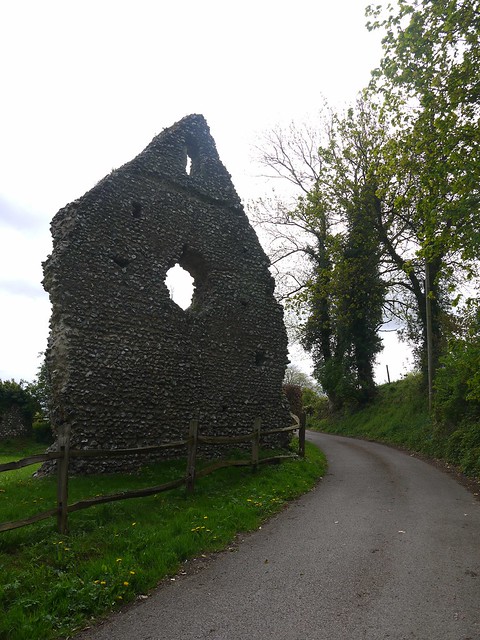 |
| That's why its called Chapel Lane - 12th Century Ruin |
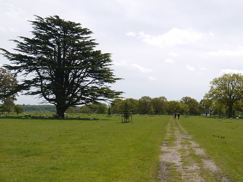
Onto the North Downs Way. I know this, as just like the South Downs way that I started last month, there are scores of Duke of Edinboroughers, some walking, most sitting around in the Bluebells.
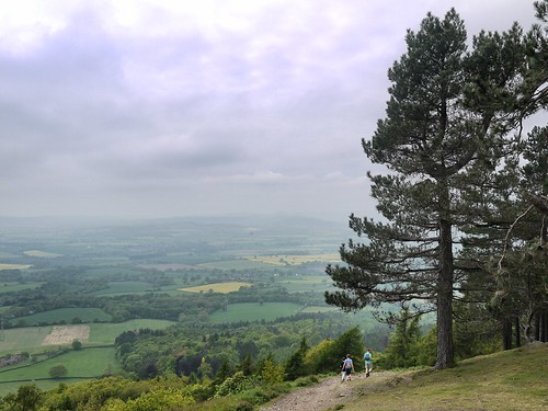
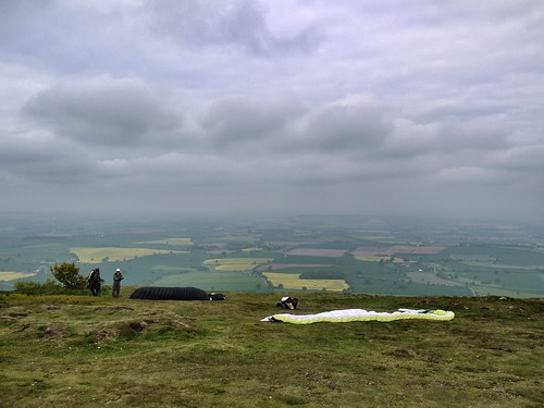
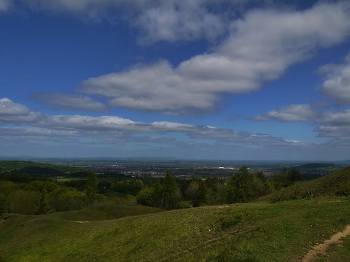
The North Downs Way gets itself added onto my wishlist with a stiff climb up Boxhill, the 2nd best thing about this walk. I am yet to reach the pubs.
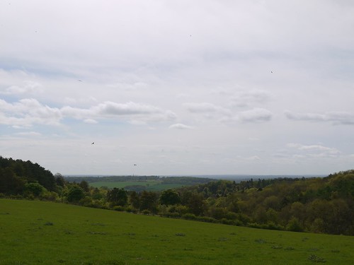
A puff and a pant up the steep hillside and the reward of some stunning views over Dorking.
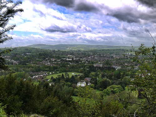 |
| Dorking |
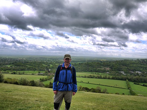 |
| Apologies, I got dressed in the Dark this morning |
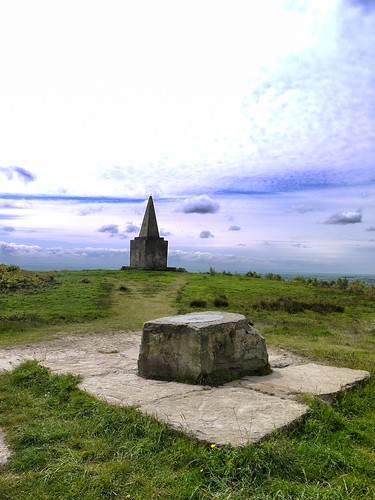
Views drunk in, I have some fine walking through the Boxhill Woodland, exiting at Broadwood's Tower - built by a piano maker. With a tree growing through the centre of it, he should have stuck to Pianos.
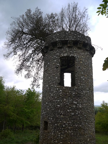 |
| Broadwood's Tower |
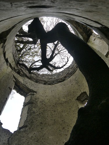 |
| From the Inside |
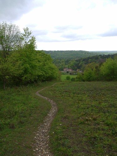 |
| Path down to Juniper Hall, where Broadwood Lived |
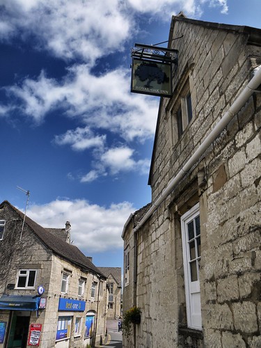
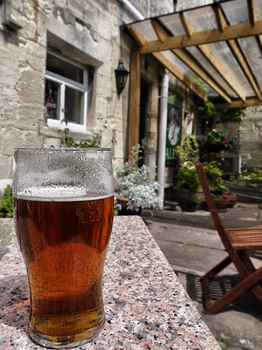
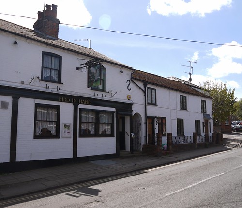
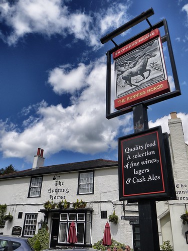
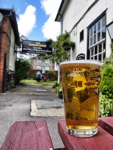
After all that exercise, its time for a reward. I've been looking forward to Mickleham, since I plotted the walk and saw that it had a big blue cup of joy on the OS Map.
And it doesn't disappoint. Its the sort of place that is that posh that the 16th Century pub has more than one equine in it's name.
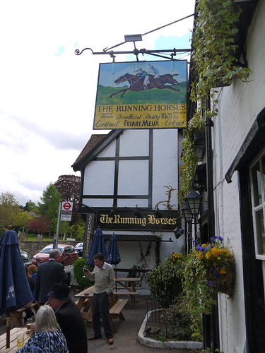 |
| More than one Running Horse |
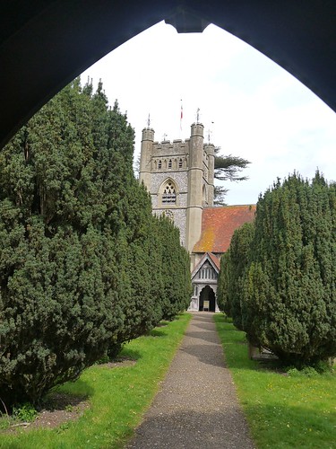
My guidebook states that the Church opposite is famous for the marriage venue of Fanny Burney. I don't know now who she is either, but as I attempt to spark up google on my smartphone, its obvious that another wedding is taking place today.
 |
| Forget Fanny and Watch the Human Drama |
The cars turning up are incredible - Aston Martin's, Bentleys, Ferraris. Two teenagers pull up alongside in what I originally think is a vintage Porsche. As it pulls away, I realise my mistake and the fact that its a Vauxhall Chevette is even more impressive.
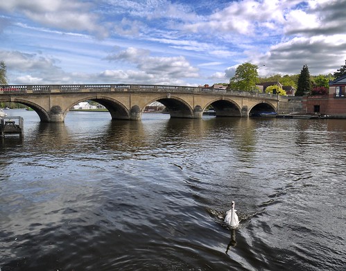
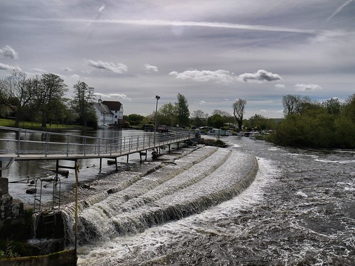
As the groom comes into the pub for a pre-match livener, I head off. I have a gentle walk along the River Mole to take me back to town. The sun comes out and I can take off my mid 1990s fleece to soak up the rays.
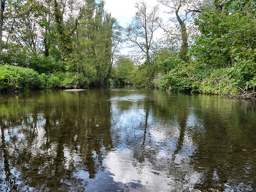 |
| River Mole is the handrail back to Leatherhead |
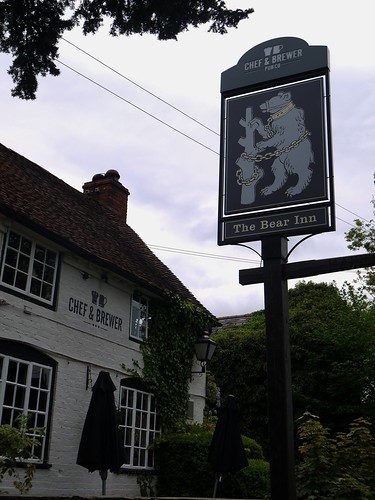
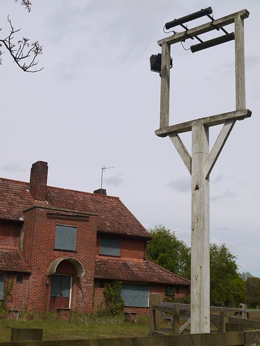
Leatherhead is far more working class than Mickleham - their pub has one less horse and a lot more Geordie builders who have finished their Saturday morning overtime.
 |
| Less Horses, more Builders |
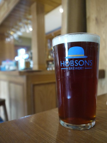
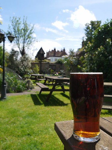
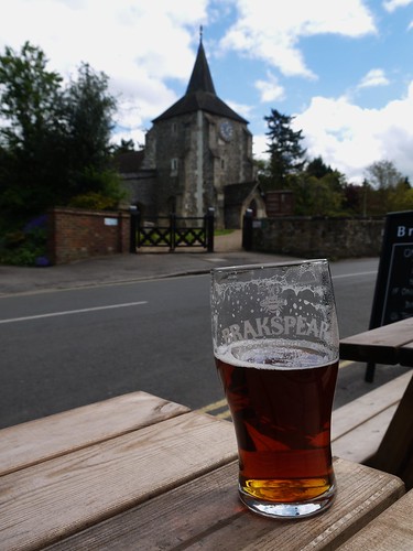
 |
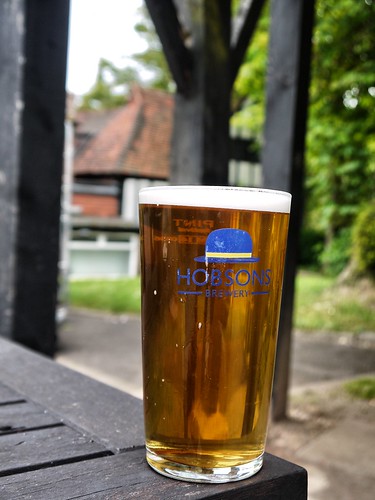
| 11.5 Miles is a two pint kind of walk |
It's reassuring to know that a 40 year old walking guide still holds true. The paths are as described, the Surrey splendor undiminished and the same church is still hosting marriages - with the same pre-wedding nerves being kept under control in the same water holes.