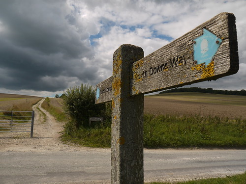
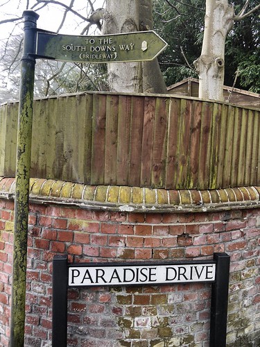
End - Winchester (04/09/15)
Distance - 99.7
Geocaches Found - 82
 |
| Follow the Signs |
I followed the guidebook and walked East to West. It would appear from that most people I met in accommodation were going in the opposite direction - which I would recommend. The walking gets better the further you get away from Winchester. It starts off merely beautiful and ends up jaw dropping.
Other advice / notes;
- Surprisingly wild. A couple of days, no civilisation is passed. Which means no supplies are available to purchase.
- If there is a Tower Mast on a hill, you are probably walking up it.
- There are a high number of geocaches
- You cross hemispheres.
- Accommodation is available at the end of each day. Ranging from posh Gastropubs to a YHA. None are prohibitively expensive.
This is how I did it, with a link to a blog entry for each day.
Day 1 - Eastbourne to Southease Station - 15 Miles, staying in Lewes
Day 2 - Southease Station to Truleigh YHA, 20 Miles, staying in the YHA
Day 3 - Truleigh YHA to Amberley, 15 Miles, train home.
Day 4 - Amberley to Cocking, 12 Miles, staying at the Bluebell Inn, Cocking
Day 5 - Cocking to East Meon, 20 Miles, staying at Ye Olde George, East Meon
Day 6 - East Meon to Winchester, 19 Miles, train home
Many walking highlights along the way - Alfriston, Ditchling Beacon, Devil's Dyke, Chanctonbury Hill Fort, Harting Downs and Old Winchester Hill amongst them.
Lowlights - Day 5 had nowhere at all to stop for refreshments. Couldn't even find a visitor centre at the Queen Elizabeth Country Park. But worse was to follow on Day 6. I was so looking forward to a pint at Milbury's Pub after 12 miles. I was served a pint. Of the most atrocious bilge water. Made up for it, celebrating in Winchester!
A great starter Long Distance Path, especially when blessed with good weather - as I was.
My flickr photo album below.

No comments:
Post a Comment