Start - Brookmans Park
Finish - Broxbourne
Geocaches - 4
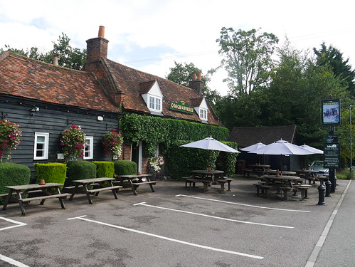
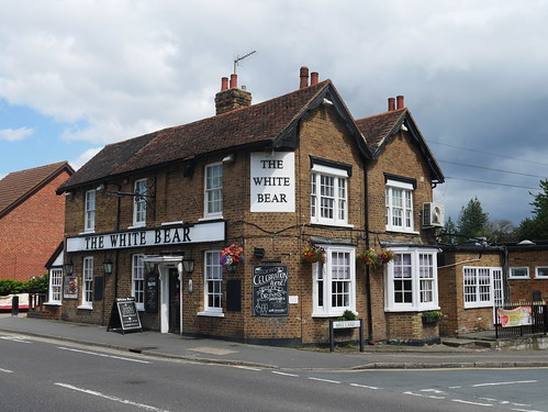
Pubs - Woodman and Olive, White Bear and The Bull at Broxbourne
Previous Stages - Stage 1, Stage 2, Stage 3, Stage 4, Stage 5, Stage 6, Stage 7, Stage 8, Stage 9, Stage 10, Stage 11, Stage 12, Stage 13, Stage 14, Stage 15, Stage 16, Stage 17
The London Countryway is taking me to some mysterious places. I'm not exactly sure where Brookman's Park is, but the first observed bus "labelled Luton" provides a small clue. If the walk doesn't pan out, I can always take advantage of public transport and see the Baggies who are playing there today.
Wherever it is, it's prime commuter territory for the City Big Wigs. The long avenue to the golf course (say no more) is resplendent with massive houses, no two architecturally the same, with the only common ground found by the high end German cars parked on the two entrance driveways.
The walking is OK. We're not hitting the heights of the Southern Section and you know when your blog is in trouble when the only things of interest to describe are a radio transmitter and a water tower. There's some decent agricultural footpaths and the first village, Newgate Street or Ponsbourne (as the Church labels itself) is pretty enough. Shame its only 11am, as the Coach and Horses looked much more promising than the pubs I did find open later.
 |
| Hertfordshire Agricultural Footpaths |
 |
| Ponsbourne Church, Newgate Street |
 |
| Coach and Horses remains undiscovered due to 11am arrival |
 |
| Ponsbourne Park House |
Wormley Woods is a pleasure to walk. Ancient Woodland, boardwalks for the boggy bits and in August, home to an awful lot of dragon flies. I'm following Dick Bowman's GPX Files and all I am going to say is he got badly lost. There's a West-East stretch along what looks like a path on the OS Map but is actually a badly overgrown ditch. Future London Countrway'ers should stick to the present Authority on the route - Des De Moor. I survived and felt this should be rewarded with a pint.
 |
| Woodland Selfie |
 |
| Lovely walking over the boggy bits |
I hope the food is better than the beer.
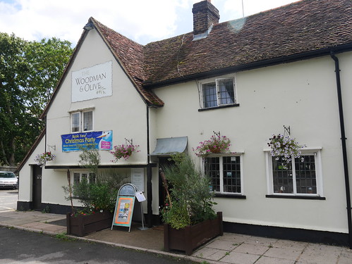 |
| Christmas is just around the corner. It's August. |
 |
| No ales on but you do get charged £5.10 for flat Italian Lager |
 |
| The New River Path - for another day. |
 |
| Dress Code, Ralph |
 |
| McMullens Bull |
I'm rather looking forward to the next leg - where I will have my first visit to Waltham Abbey. A place that I've wanted to visit since reading the first chapter of Iain Sinclair's London Orbital.
No comments:
Post a Comment