Thursday, 10 May 2018

10/05/18 - Heart of England Way - Stage 14 - Berkswell

Distance - 6 Miles
Geocaches - 1
Previous Stages - Stage 1, Stage 2, Stage 3, Stage 4, Stage 5, Stage 6, Stage 7, Stage 8, Stage 9, Stage 10, Stage 11, Stage 12, Stage 13


8 hours in an Office based Workshop and the unenviable prospect of the M42 at 6pm rush hour.

I know a way I can improve the day.  The Heart of England Way is now dangerously close to my place of work, so a beautiful late spring evening is the perfect moment to tick off the latest monthly leg.

I've made it to Berkswell - a place that needs no introduction if you have completed the Millennium Way.  I kind of got bogged down, with four of the Circular walks starting from here.

So I'm used to this Domesday mentioned village, with its impressive church and er... Well.
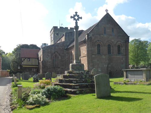
Berkswell Church
Berkswell
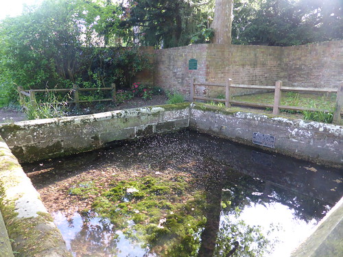
The Well
The 16ft Well.  The Dots are flies - the place is infested.

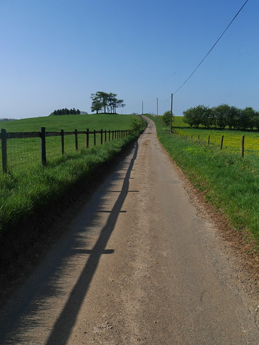
The walk is agricultural West Midlands at its finest.  The mud has dried, the colours are abundant.  The paths may look dull to those who don't walk but I couldn't be happier.
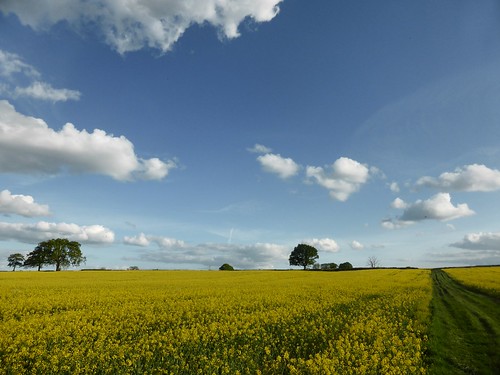
Farmland Loveliness
Bliss
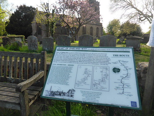
We reach the Queens Head, fine refreshment stop at the end of the last leg, and investigate Church Farm.   Some Heart of England branding teaches me that the Way is also part of the European E2 Long Distance Path - running from Galway to the French Mediterranean.  Options for an extension to this walk for when I reach Bourton on the Water.

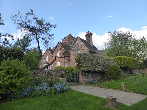
Church Farm, Meriden
Church Peeping at Church Farm
HOEW
HOEW - Note the E2 logo bottom right

More of the same on the way back.  All the Geocaches found when doing the Millennium Way, apart from 1.
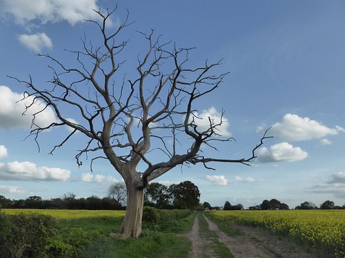
Farmland Loveliness
More of the Same - No Compaints
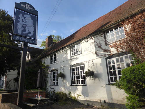
Berkswell has an ancient boozer, the Bear.  Its been run as a Chef and Brewer, so you now its mainly catering for diners.  However, amongst the Greene King IPAs and other associated dull beers was a Theakstons Old Peculiar - table served to my garden patio, as my Eastern European bartender declared it "Rather Lively".

It was as gorgeous as the walk.

The Bear, Berkswell
The Bear - Chef and Brewer delivering Old Peculiar 

Monday, 7 May 2018

07/05/18 - All around the Wolds from Andoversford

Distance - 11.5 Miles
Geocaches - 2
Walk Inspiration - Trail Magazine Route
Pub - Royal Oak, Andoversford, Otter Bitter


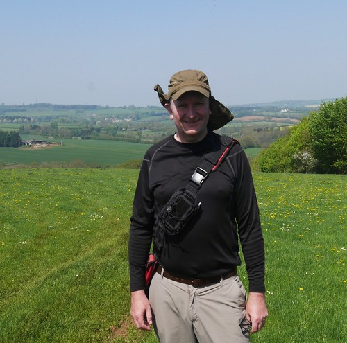
Would you believe it?  A bank holiday Monday and the weather is beyond gorgeous.  Having burnt my neck on yesterday's geocaching trip in Warwickshire, I am forced to wear protection in the Cotswolds.

Flaps Down
Flaps Down in the Cotswolds
Its OK though.  No one knows me in Andoversford.  I've not even heard of Andoversford before and I thought I knew the Cotswolds like the back of my hand.  This is a tiny village on the outskirts of Cheltenham that's self sufficient.  It has a pub.

I head west, making steady progress through very boggy horse fields to make a climb of Kilkenny Hill.  Sounds more Irish than Gloucester, but fine views are available of the county capital.

Ascending Kilkenny Hill
Marching up Kilkenny
Early Views to Gloucester
Gloucester in the really far distance

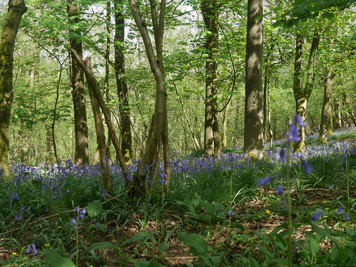
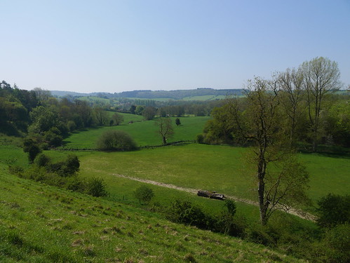
This walk provides a circuit of the Coln Valley.  The walk is evenly split - when you've had enough of the amazing views, you drop into Withington Woods for some bluebell infused shade.  You cannot help but smile when you're sharing the route with squirrels, deer herds, the odd rabbit and unidentified birds of prey circling overhead.  Out for four hours and I see a grand total of two walkers and three horse riders.

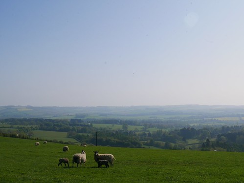
For the Views
Oh... and Sheep of course
Withington Woods
Bluebell Woods of Withington

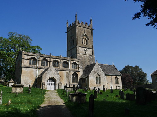
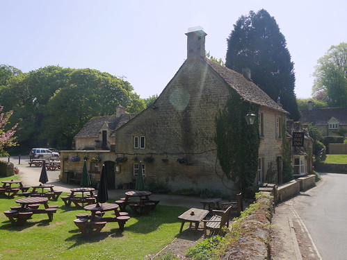
Time the walk correctly and you could have a two pub walk.  Withington Village is handsome, containing some fine buildings - including an impressive church and one of the most idyllic pubs I've stumbled upon.  I can see this being a base for a future walk.

P1020768
Withington Church
The Mill Inn, Withington

Out of Withington and a climb from the beautiful Coln valley floor.

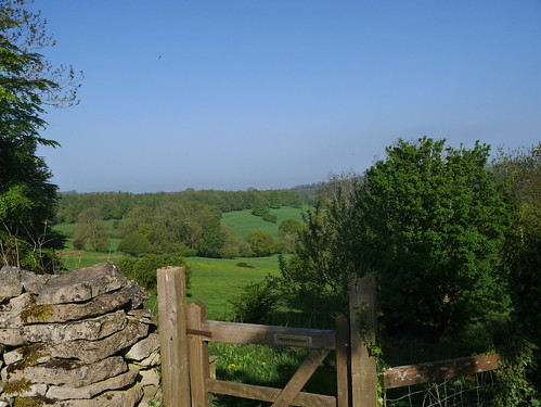
Coln Valley
Coln Valley Floor

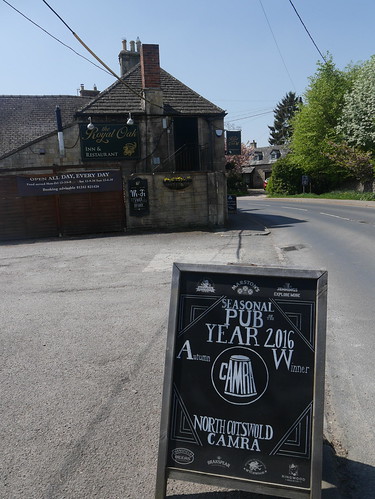
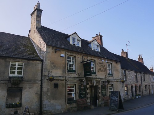
Water reserves expire a mile from Andoversford, which means I burst into the bar of the Royal Oak in a fashion not observed since Alex Guinness in Ice Cold in Alex.  The Oak has not been in the CAMRA Good Beer Guide for at least a couple of years but it looks like they used to have a good relationship.

Royal Oak, Andoversford
North Cotswolds CAMRA POTY - 2016
Royal Oak, Andoversford
Classic Cotswold Boozer

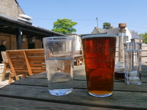
In another pub, lunch would have been a fish finger sandwich but here, it was Cod Goujons, with a choice of ciabatta or brioche bun.  I might of been out of my depth with the cuisine but I know my way around the bar.  An Otter Bitter could only be improved on a day like this with a water chaser.

An Otter with a Water Chaser
Two Drinks Mappiman

Saturday, 5 May 2018

05/05/18 - Worcesershire Beacon and the Wyche Inn

Distance - 4 Miles
Walk Inspiration - Pub Walks in the Malvern


The sort of day designed for the Malverns, with the reward of a CAMRA Good Beer Guide tick for post walk refreshment.  What could be nicer than getting up high for minimal effort and being rewarded with 360 degree views in the sunshine?

This couldn't be easier - park up at Beacon Road and make your own decision as to whether to pay £4.20 towards the upkeep of the Malverns or annoy the locals and park outside their cottages.

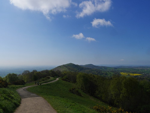
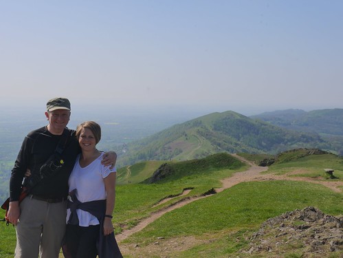
Head up Shire Ditch.  Look left for views across to Wales.  Look right for views over the Cotswolds and the Midlands.  Take a selfie when you are the highest people in Worcestershire.  Optional stop for tea and cake at St Anne's Well.  Work your way back to the pub for a CAMRA Tick.

Malvern Views
Middle Sections of the Malverns, Looking South
Highest in Worcestershire
Highest people in Worcestershire
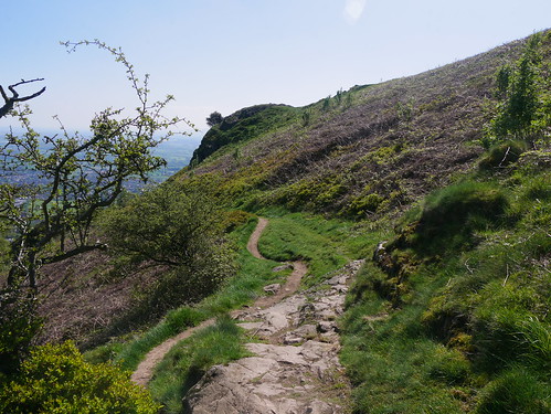
Eastern Walk
Working our way back on the Eastern Flanks

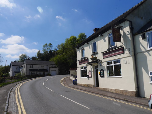
The Wyche Inn is strategically close to the end of the walk.  11am Opening are a boon but the locals know all about it.  By 11:45am, we have the last outside table to soak up the sunshine in the way god intended.

Wyche Inn
Another day, another tick
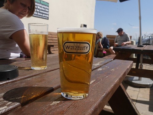
Wye Valley HPA
Perfect HPA

All the action is outside but the blogging purposes, an internal explore is necessary.   Long thin interior.  Down the bottom is a twin pool table games room.  Middle section offers tables set for dining.  Rather too many signs telling me off for uncommitted crimes for my liking.   On the list of things I didn't plan on doing were;

  1. Bringing a wet dog into a areas that wasn't the games room
  2. Wearing muddy boots
  3. Consuming my own food or drinks 

Beer, as the picture shows was excellent.  Ploughman's lunch came with an unexpected boiled egg.

All was not lost to totalitarian signage.


Thursday, 3 May 2018

03/05/18 - Victor Hugo's St Peter Port

Distance - 2.5 Miles
Geocaches - 3
Walk Inspiration - Guernsey Tourist Board

Another beautiful evening in the Channel Islands.   With the supply of St Peter Port's Good Beer Guide pubs exhausted, it's time for alternative entertainment.

Fortunately, Guernsey Tourist Board offer a series of short walks on their web site.

I choose to follow in the footsteps of Les Miserables Author, Victor Hugo, who spent 15 years in exile on the Island.

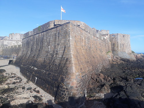
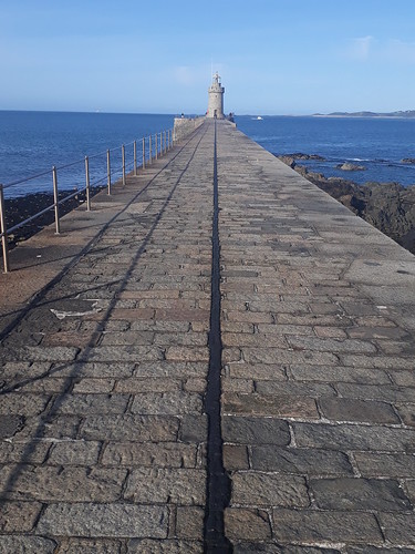
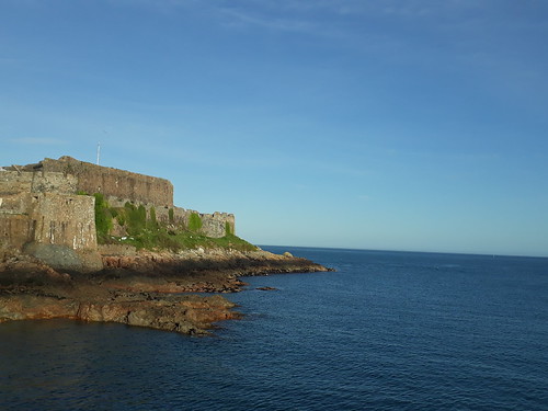
This takes me around St Peter Port, climbing through Candie Park to the Tower and down all the way to Castle Cornet.  I tried to find his home in Hautville but struggled with the exact location.   Google Maps showed it to be directly opposite the Cock and Bull Pub but I'll be damned if I could find anything impressive on the ground.  Research shows its closed in 2018 but surely, they can't have moved it.

A few photos.

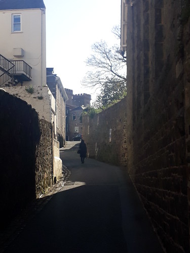
Winding Streets
Climbing the winding streets from my Hotel
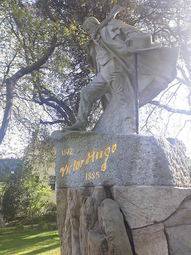
Statue in Candie Gardens
The Man in Candie Park
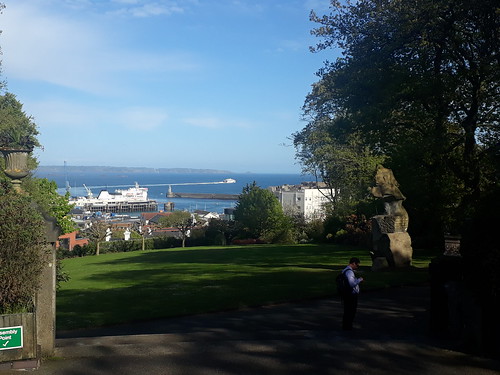
Candie Gardens View
Sea Views from Candie Park
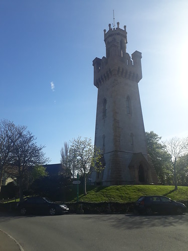
Victoria Tower
Victoria Tower- Geocache GZ and where he scratched his name into the Stone Work
Castle Cornet
Castle Cornet
Castle Cornet
Where the Pier leads to a Geocache that remains unfound
Castle Cornet
But provided some views
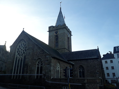
Town Church
Back to the Town Church

Good work from Guernsey Tourist Board - plenty of other walking options from there, should I be heading back.