Saturday, 14 May 2016

14/05/16 - The Wimbledon 8

Distance - 13.8 Miles
Geocaches - 13
Pubs - 6


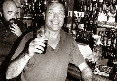
A walk that was born whilst on holiday in Valletta, Malta.  You see, we were in a pub - handily called "The Pub" - and got to reading about it's most famous patron.  A man, who died as he lived.  On the floor of a drinking establishment.  On the floor of The Pub in Valletta, in fact.
In Search of Oliver
Oliver Reed - Arm Wrestler & Drinking Champion
After reading the wall mounted memorials, I completed some further research into his life.  It seems he had a pub crawl, "The Wimbledon 8", named in his honour.  I instantly thought it worthy of investigation and to make a day of it, tie it in with a decent walk.  More on this later.

Maps were perused but in reality, I needn't have bothered.  Through my own volition, I created a route that ran nearly 14 miles from West to South West London that followed the Capital Ring almost step by step.  It was fun to revisit this long distance path that I walked over several summer evenings 5 years ago.

Train to Southall, West London.  A place that seemingly has little going for it with the exception of providing access to the Grand Union Canal.
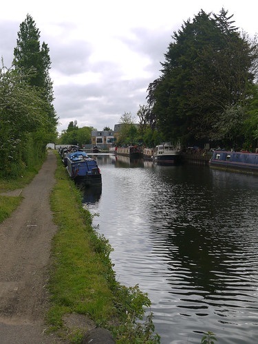
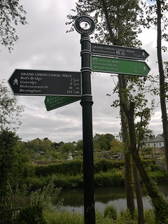
Grand Union Canal
Grand Union
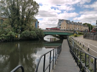
Its a decent stretch of easy walking, running past St Bernards Hospital and meeting the River Brent, where it shares the route with the Capital Ring.  When I was here five years ago, I must have been a hopeless cacher, as I recorded a 50% fail rate.  Today, I am on fire.  There is nothing better than righting wrongs and the cache count increases all the way to the green bridge at Brentford, where the canal is left behind.

Capital Ring Leaving Canal at Brentford

Back on familiar ground again, as I revisit the Thames Path, heading through Syon Park and picking up the river at Isleworth.  At least I am going in the opposite direction to previous walks, which throws a quite a different perspective on things.  On another day, there is little doubt that I would have stopped at the London Apprentice, where a artisan market is in full flow.  The pubs can wait till the end of the day.
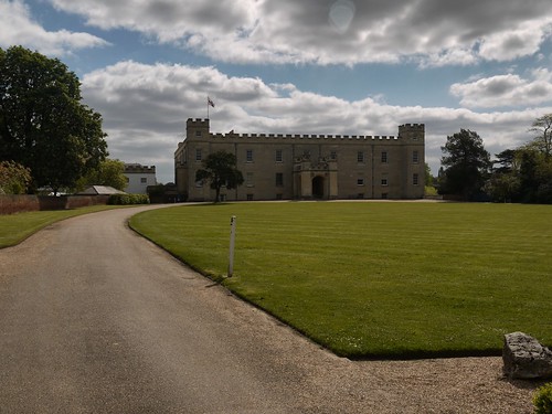
Syon House
Syon House
Isleworth
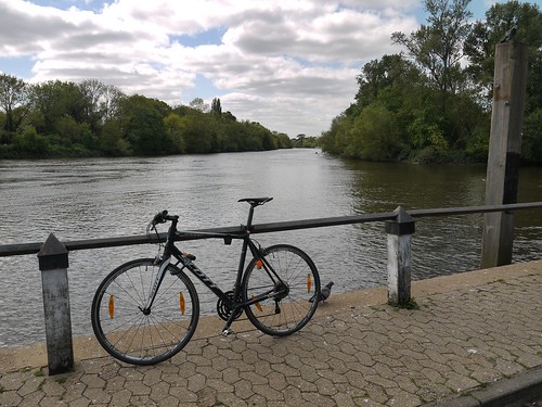
The Thames at Isleworth
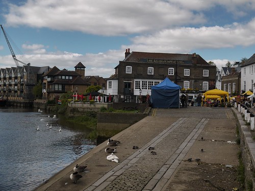
London Apprentice
One of my favourite pubs - The London Apprentice, Islewoth

A quick note on the joys of geocaching.  When I started the Capital Ring in 2012 - a small cache had been placed on Richmond Lock.  I spent an age looking for it in the rain.  I had another go last year when walking the Thames Path.  Failed again.  This is what it looks like when you spend 4 years and 3 attempts and meet success.
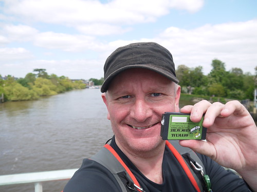
Joy of righting a DNF wrong
The small things that make you happy
Enter Richmond with a spring in my step.  To be honest, it's hard not to.  What a delightful place this is.  Again, I have to walk past a handful of great boozers that I have visited in the past but this just makes me vow to come back another day.

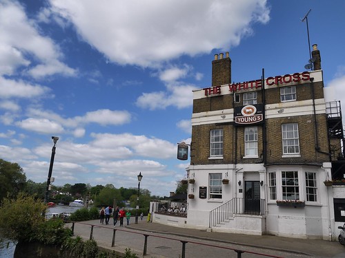
White Cross, Richmond
At night, the sign glows.  Red.
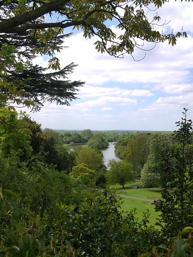
View from Richmond Hill

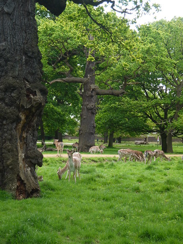
This of course, leads me to some of the finest walking that London has to offer, Richmond Park.  I will never tire of it.
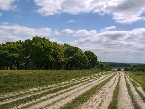
Richmond Park
This is London.  I could see the Shard moment earlier.
Richmond Park
And so is this.

And with just the cross of a road that would be better described as a motorway, I am in the wilds of Wimbledon Common.  Finding caches, annoying golfers and humming about "things that everyday folk leave behind".

And now, blog fans, the walking stops and the pubs start.  #Walk1000Mile and #WFP aficionados can depart here.  Lovers of www.beerintheevening.com and www.pubsgalore.com, pay attention.

The Wimbledon 8 Rules
So, our dear friend Ollie set the rules.  It was 8 pubs and 15 minutes to get from one to another, downing a pint in between.  The most times he completed it in one night was apparently 3.  But you know how these legends go.  I found out yesterday that Dylan Thomas was practically teetotal.

Anyway, I am not going to attempt this.  For one, it would be like challenging Linford Christie to a race.  Sometimes you need to know your limits.  So, its as long as I like in each pub (train departure at 16:08 permitting) and half pints.

And, in another indication of the killing of our culture, two of the pubs have disappeared, leaving me with a manageable 6.

The Fox and Grapes is the first encountered, as I reach civilisation from the Common.
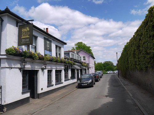
Fox and Grapes
Fox and Grapes
There are two doors - one marked "Bar" and one marked "Lounge".  I should have taken it as a warning when the one marked "Bar" wouldn't open.  For this is the worst kind of pub.  A Gastropub.  Where the only place for drinkers to sit is a handful of stools at the bar and every other table is handed over to diners.  I think we all know what Ollie would do, faced with this abomination.  He'd have showed them his special tattoo.

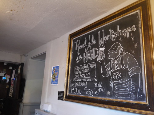
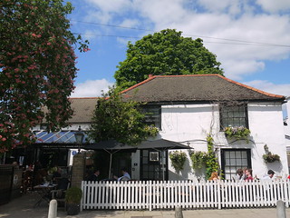
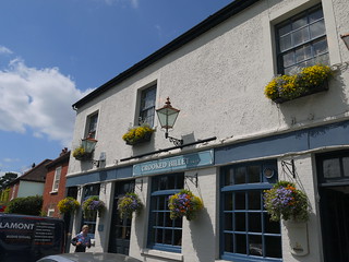
Next up its a BOGOFF.  Crooked Billet gives two pubs for the price of one - the Hand in Hand and the Crooked Billet.  There is nothing to choose between them - both Young's Pubs, both with lovely outdoor areas and both serving Youngs Special at £2.10 for a half.  Presumably, you have to pay more if you want the head.

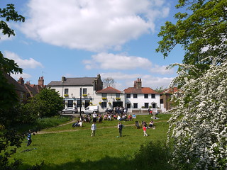
The only choice to make is whether to have it in a plastic glass and sit on a deckchair on the green (yes, really) or partake inside.
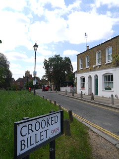
Crooked Billet Youngs Special.  Where's the head Cellar Days Hand in 500d Croo320 Billet

Leave this scene of the English summertime behind by aptly enough, finding a Geocache.  Its on to the Swan on the Ridgeway, which is the only "Cask Marque" pub on the route.  Blogfans will know that last week two geocachers in Ledbury introduced me to the app that enables you to collect real ale pubs for prizes.  I was keen to get number 2 into the system.  48 to go before a free glass.
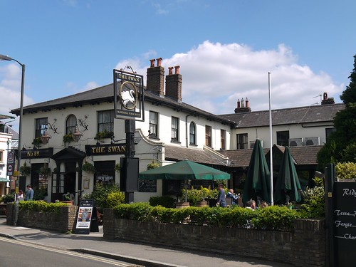
The Swan
The Swan on the Ridgeway
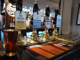
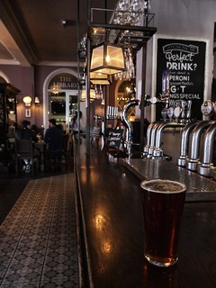
Quite why this is the only Cask Marque pub on the round is unclear to me.  It may be because you pay for the privilege.  This pub had five pumps but only two ales on - the ubiquitous Doombar and Speckled Hen.  Still, my Doombar nearly had a head, so its winning the prize for best half so far.

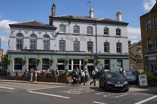
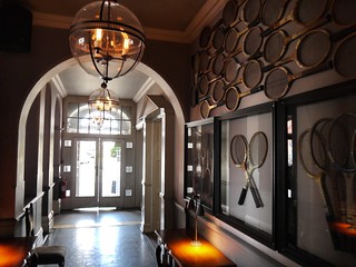
Finally, with the clock showing 15:08pm, its time for the two pubs in the "village".  The Rose and Crown was pleasant enough but instantly forgettable and the Dog and Fox was the pick of the bunch.  It's the only one that played on the tennis heritage but its size, position and outside beer garden to watch the hullabaloo of village life made it my favourite of the day.
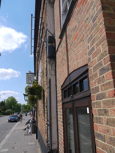
Rose and Crown
Rose and Crown
Dog and Fox
Dog and Fox - #1 of the 8 (or 6)
Dog and Fox Dog and Fox

Surprisingly, after so many pubs in a blog, it's going to be the walking and geocaching that sticks in the memory of a fine day out in the Smoke.


Saturday, 7 May 2016

07/05/16 - Wye to the Thames - Walk 1 - Hereford to Ledbury

Distance - 18.5 Miles
Geocaches - 6
Pub 1 - The Crown, Woolhope, Wye Valley HPA
Pub 2 - The Talbot, Ledbury, Wadworth 6X
Pub 3 - Prince of Wales, Ledbury, Wye Valley HPA

So another adventure begins.  A long out of print guide that detailed a route following the Cotswolds Railway Line from Hereford to Oxford looked right up my street.  The first leg is a whopping 18 miles, so perfect conditions were needed - including Sonia being at work, decent weather and British Summer Time.

May 7th 2016 and I begin.  The 12 stages (remainder are mercifully shorter) will be completed over the year.

The Book
Found on Ebay
First direct Train from Droitwich and at 8:20am, I am alighting at Hereford.  A quick couple of miles through suburbia to reach the Wye Valley and the countryside.

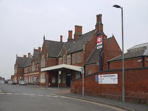
Hereford Station
Scene from a Sidetracked Geocache
The Wye
The Wye Valley Walk

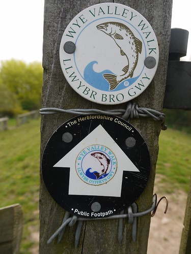
The route looks like it is along well established paths.  In addition to finding the Three Choirs Way and the Herefordshire trail later in the day, I start off along the Wye Valley Walk.

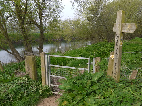
The Signage
Wye Valley - A brewery and a Walk
Decent walking along the river takes me through Hampton Bishop, the River Lugg and onwards to Mordiford.  As well as having the oldest surviving bridge in Herefordshire (1352, history fans) it also has one of the Top 10 Pubs in Herefordshire.  I console myself with the fact that I am not going to be able to visit at 9:30am with the thought that two more await me in Ledbury.


Modiford
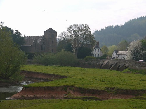
Mordiford and a 14th Century Bridge
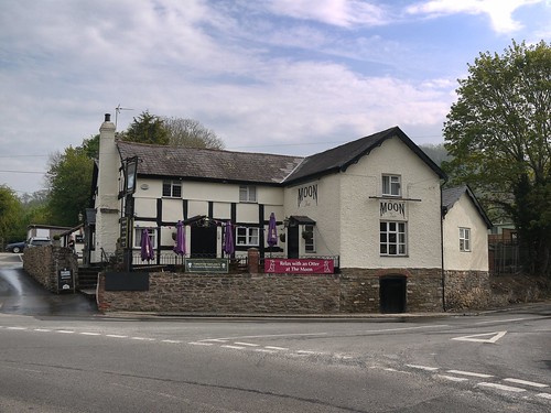
The Moon Inn at Mordiford
The Moon Inn - Return Visit Required
Up into Haugh Woods, where an early lunch is nipped in the bud by a million flies that have a thing for Roast Turkey Baps and onwards to Woolhope - where the OS Map has a Big Blue Cup of Joy.

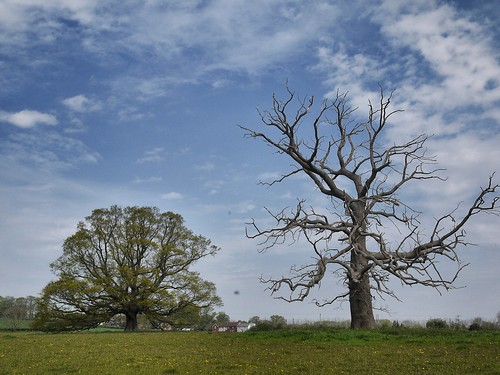
Dead and Alive
Coming out of Haugh Woods and Into Woolhope
It's too much to be walking past two pubs on such a thirst inducing walk.  I approach the pub at 11am, more in optimism than expectation.  Like arriving at a bus stop, its always a good sign if someone is already waiting there.  And there is.  My icebreaker that I cannot be an alcoholic if I am not the first to be waiting for the pub to open builds enough rapport for me to determine the pub is being opened early for the start of a stag do.

I just have to hope its fancy dress and the theme is rambling.

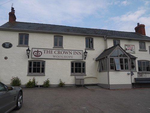
The Crown at Wollhope
Crown Inn at Woolhope
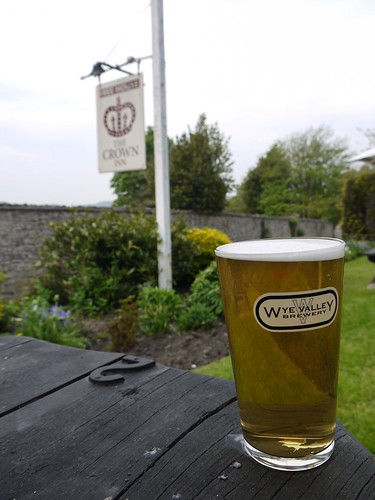
Wye Valley HPA at the Crown
Comparing the Walk with the Beer

Nice halfway stop, watching the stags arrive and greeting each other with bonhomie based banter.

I need to press on, so hit the countryside with bucolic views over Herefordshire.  I adjust my route slightly to take in something on the OS Map marked as "The Wonder", which also provides the chance to grab a couple more geocaches.

Coming out of Woolhope
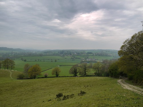
Herefordshire - and the threat of Thunderstorms
The Wonder
Bigging up "The Wonder" - A landslip that occurred in 1575

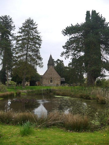
The only thing to break up the uniformity of the many orchards (we are in cider country) is Putley.  I ignore Putley Court, with its awful bolted on extenstions and focus my investigations on a wonderful little church.  Even test the door and have a look inside.  Would like to report on how spectacular this is (home based Internet research confirms this) but alas, I couldn't find the light switch.

Putley Church
Putley Church

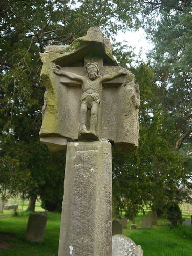
Pultey Churchyard Cross
Carved Sandstone Cross - 4 effigies, with Jesus facing west
The orchards take me to Ledbury.

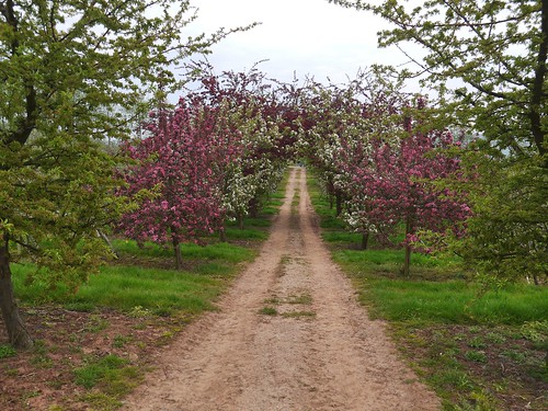
Orchards
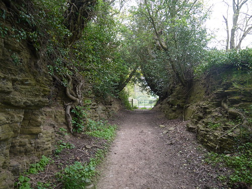
My path through the Orchards
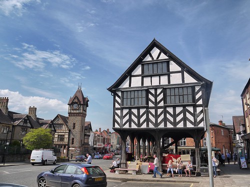
So Ledbury - what do you have for me in way of reward for a monster walk completed on the hottest day of the year?  Fine medieval architecture and two top 10 pubs in the county of Herefordshire.

Market Place - Ledbury
The best of the Architecture - 1617 Market House
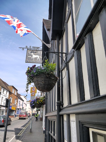
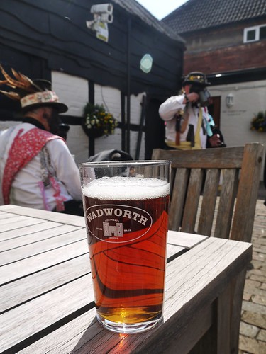
My first pub is new to me - the Talbot.  Built in 1550, its now serving Wadworth to 21st Century punters.  I take a 6x out into the sheltered courtyard and have my first encounter with the Silurian Border Morrismen.

The Talbot - Ledbury
The Talbot - 6th Best in Herefordshire
Wadworth 6X - The Talbot, Ledbury
Morris Dancers - Bringing a bit of colour to proceedings 

Quick pint here and I have time before my train home to revisit the Prince of Wales.  I think I am falling in love with this pub.  Super fine setting and great beer.  Every village should have one.  I get talking with some people taking photos of the Cask Marque sign.  They tell me there is an App that helps them locate great pubs - with the chance of winning prizes for your endeavours.

Oh, yes, I have a new hobby.

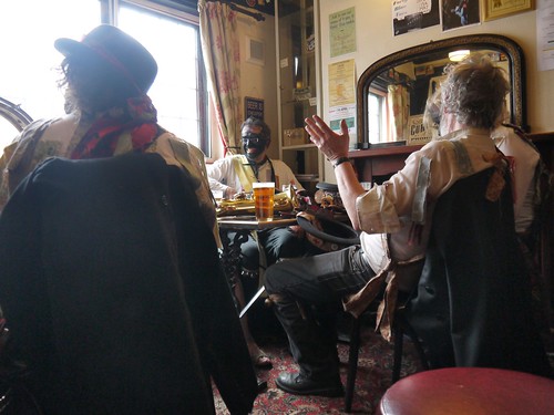
And then the silence is broken.  The jingle of bells and shouts of who has the kitty can mean only one thing.  The Silurians are coming - they are both thirsty and recruiting.

Now, what could be finer than a pub crawl, preserving England's heritage and a bit of a dance around with a blacked up face?

The only thing that stops me joining is that it would interfere with my walking.

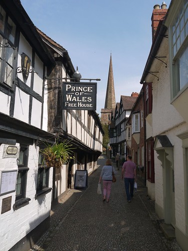
Prince of Wales - Ledbury
4th Best in Herefordshire
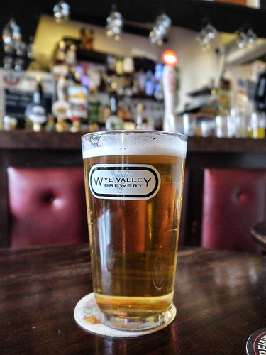
Wye Valley HPA - Prince of Wales, Ledbury
Wonderful Wye Valley HPA
The Morris Men
The Silurians - recruiting in Ale Houses around the Country.


Wednesday, 4 May 2016

04/05/16 - Plough and Harrow, Kinver

Distance - 2.3 Miles
Geocaches - 1 Found, 1 DNF
Walk Inspiration
Pub - Plough and Harrow, Bathams

The first warm evening of 2016.  Just enough time between work finishing, tea being eaten and Man City starting their European Championship semi final to fit in a walk.

Kinver Edge provides the chance to make this another in my series of walks from Bathams Pubs.

It's a win-win situation.

If only the Kidderminster traffic, road closures, dead end diversions and a car park that shuts at 7pm didn't get in the way.

Obstacles overcome, we start the walk at the Compton Road parking area.

This is a simple walk - Follow the good paths under Kinver Edge to the far southern end.  There are a couple of caches.  One is found easily enough.  The 2nd, in Nanny Rock Cave, I have failed previously at.  This time, I at least found the clue location and I am sure it has gone.

After the cave, it's a very short climb onto the Edge.  The ridge path to the far nothern end provides fantastic views to the east and west.

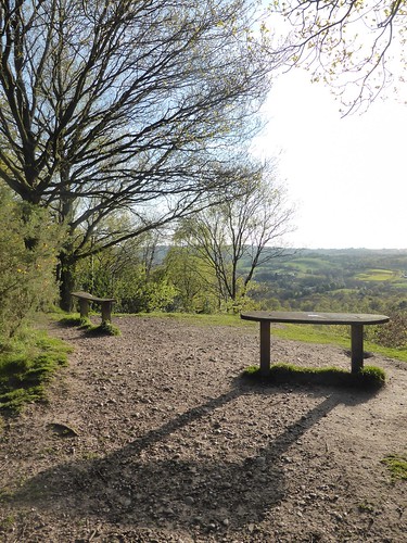
Night of the Long Shadows
Evening of the Long Shadows
Kinver Trig Point
Trig Point
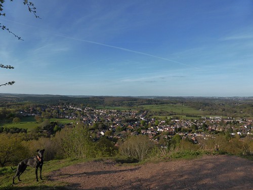
View from The Edge
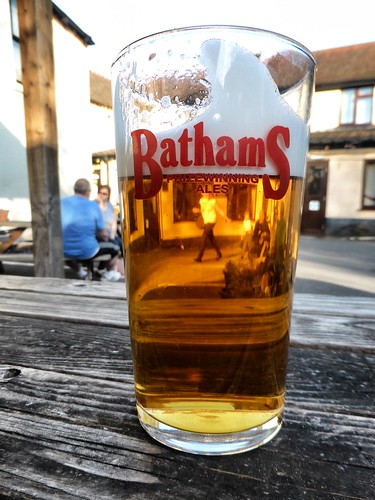
A borrowed dog and the view over Kinver to the North.  Bathams Below.

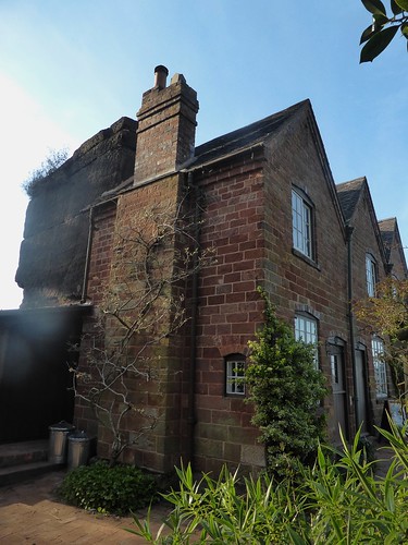
Drop down off the edge and pass the Kinver Rock House - Built into the sandstone and inhabited until the 1960s.  If you want a proper view, get there before 4pm.  Otherwise, you can stand on the wall and aim your camera over the fence.

Kinver Rock House
Kinver Rock House - Best I can do.
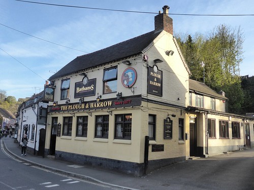
Back at the car and a short hop into the village to find the Plough and Harrow.

The Plough and Harrow, Kinver
Looking fine since 1877

Waiter - There's a lady in my pint
Waiter, there's a lady in my pint

It doesn't end here for beer lovers.  The Vino off licence further down the high street is worth checking out.  They always have a wide array of bottled beers - including the Kinver Brewery Range.  Like the man who stares at the board in the chipper every week for 10 minutes before asking for "Fish and Chips", I take a long time deliberating.

A case of Bathams.

Sunday, 1 May 2016

01/05/16 - The Ups and Downs of Morwenstow

Distance - 4.5 Miles
Geocaches - 3
Walk Inspiration - Jarrold Pathfinder Cornwall, Walk 13
Pub - The Bush Inn, Morwentsow, St Austell's HSD

Got to love the UK.  Yesterday's walk was completed under the most photo friendly blue skies.  Today, we awake to what the Scot's call "Dreich".  Grey Skies, rain in the wind.

It's not everyday that I am in Cornwall, so the opportunity to complete another coastal walk cannot be missed.  My two potential walking partners bail.  Mrs Mappiman has not packed waterproofs.  The 13 year old labradoodle was never going to manage two walks on the bounce.

So I head off for a drive from Marhamchurch to Morwenstow that can only be described as thrilling.  Miles of single track lanes where the hedges are 6ft either side.  Gradients that I felt even a BMW X5 was going to struggle with.

It was an understatement to say that I was relieved when arriving at Morwenstow Church - even if all available parking had gone.  A retrace of the last 1/4 mile and I find myself parking on a green outside a 13th Century pub.

Serendipity is my favourite word in the English Language.

Quick look at the Church and then off for a couple of caches on the path to the coast.

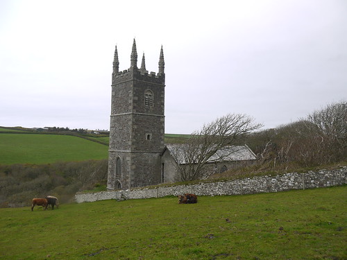
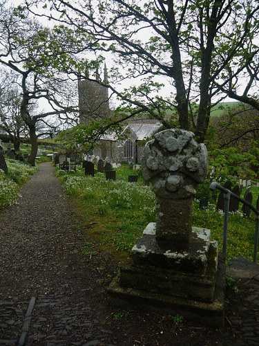
Morwenstow Church
Vicar was a famous opium smoker.  We will come back to the Church later in the Blog.
The guidebook suggests that this 4.5 mile walk will take 3 hours.  The coast path explains all.  I have never seen a collection of ups and downs.  1020ft of ascent.  That's half a mountain in old money.

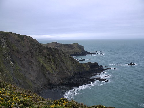
Vicarage Cliffs
Vicarage Cliffs
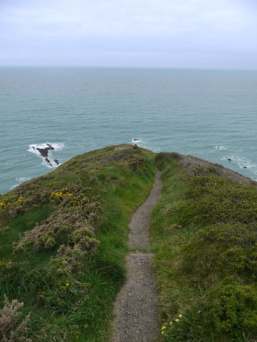
Off the End of the Earth
The Roller-coaster starts as I fall off the end of the World

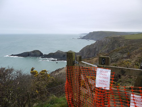
It's a puff and a pant up a cliff, quickly followed by a treacherously slippy descent back down.  This continues until Cornakey Cliffs, where the sea has re-claimed a section.

Diversion at Cornakey Cliffs
Diversion Ahead at Gull's Rock and the Devil's Hole
The coastal section is over at Marsland Mouth, where an uphill track leads me inland.  I meet a huge posse of walkers - the ones who nicked all the parking at Morwenstow.  The leader offers me advice on where the footpath has been diverted at Marsland Manor.  I ask if he is local and he says that he is from Shropshire but has walked this route every year for 36 years.  What can you say?  He likes what he likes.

At other farmhouses, Cornish route finding is provided by friendly farmers.

Route Finding - Cornish Style
Simple Enough?
Soon back at the Church.  And here's where I make a resolution to blogfans for all eternity.  I will start researching my walks BEFORE I undertake them.

The guide details some of the history of the Church.  As well as our Druggie Vicar, Rev Hawker, the churchyard is famous for the many graves of lost sailors.  One particular mass grave for the crew of the Caledonia that ran aground in 1842 is marked "Unknown, yet well known".

I would have been interested in seeking this out, instead, I find myself taking photos of the final resting place of a Mr Dick Trick.

When will I grown up?

Richard Trick's Grave
Mr Dick Trick
There's no doubting that the church is a fascinating place.  Maybe this partly explains why the walk is scheduled to take so long.

Morwenstow Church
Say goodbye to Morwenstow Church
Heaven's really open now - but fortunately, it's 12:05pm and I am back at the 13th Century Bush Inn.

And what a gem of a place.  Unchanged on the inside, retaining its old farmhouse feel.  Also, incredibly popular and three deep at the bar with hungry families ordering lunch and stopping me getting at my HSD reward.

Bush Inn - Half a HSD
Finally broke through the hoards to claim my reward
Bush Inn
Unchanged inside for centuries
Bush Inn
The Bush - a 13th Century Boozer - Rain on Camera Lens