Saturday, 19 April 2014

19/04/14 - Game of Thrones

Distance - 4 Miles
Geocaches - 2
Walk From - 50 Walks in Mid and North Devon

Castle Drogo at EveryTrail

Here is the definition of a conundrum.  We don't want to get caught in M5 Holiday traffic, but we cannot get into our Cornish Cottage until 4.30pm.


There is only one thing to do.  Break up the journey with a walk.  So, I peruse my extensive walking book library for inspiration and choose one because it goes to Castle Drogo.


Sounds rather like it should be located in Westeros.  Maybe I have been watching too much Sky Atlantic.


It turns out to be an absolute belter of a walk.  For the first time this year, I am pleased that I have a fiat 500, as I negotiate the lanes of North Devon and arrive at the parking area.  Deserted at this time in the morning, but a scene of much hilarity when we return.


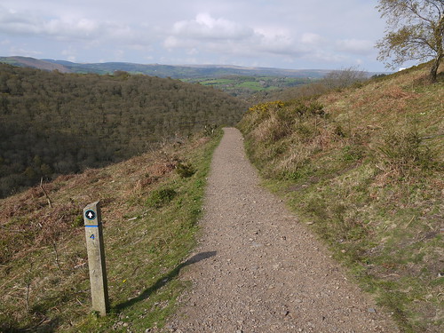
It's a lung buster to get up the side of the valley, but as always, we are rewarded with superb views.
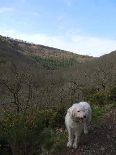


All Uphill
Views, once through the trees
Great Path
Lovely path on the flat
Only one cache to find on the ridge path.  Its nice and big, so I drop off a TB.


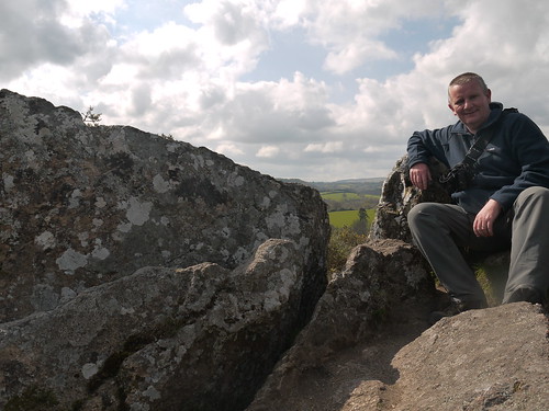
Next highlight is the large rocky outcrop of Sharp Tor.  Our hearts are in our mouths as Molly gets a touch close to the edge.  Sonia asks "what would we tell Ellie if she fell off".  I reply that we would have to say that "she has run away".
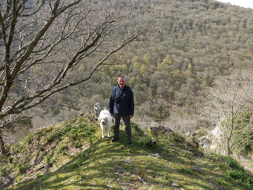

Sharp Tor
Don't push me, cause I'm close to the edge
We walk on, getting ever closer to Castle Drogo.  It looks impressive on the map, but what will it hold in the flesh?


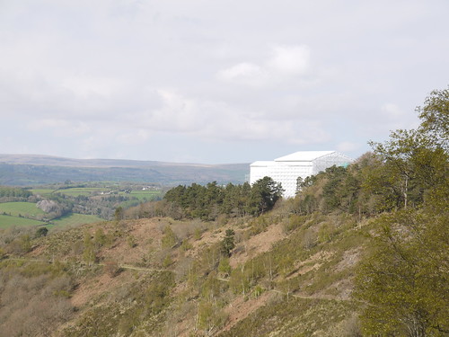
Drogo Under Wraps
We will never know, hidden under plastic sheeting
Soon, we are at the end of the ridgeway and drop down to the River Teign.  There is another cache that involves a bit of a scramble up another hill.  As I have only 1 for the day, I feel its worth the effort.  And for the views I received, I am glad I made the climb - even if I did have to scoot back down on my aris.


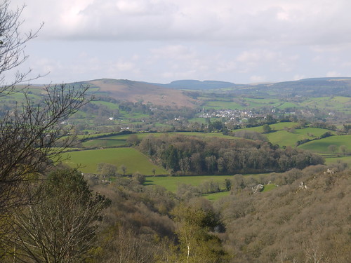
Views
Cacher Views
Caching
A location worthy of a selfie
We do meet our first other walkers of the day.  I am checking which side of the River Teign on my GPS and they instantly ask if we are Geocachers.  I always knew my hobby would catch on.


In hindsight, we picked the wrong side of the river to come back home on.  Both sides have great paths but the opposite side to the one we picked had another cache.
Bridge on the Teign
Should have crossed on over
Weir on the Teign
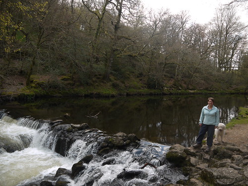
The River Teign is stunning from either side
The walk back to the car is straightforward but immensely beautiful.  This geocaching lark is good for the soul.  Sonia comments that the increase in older ramblers must mean we are nearing Fingle Bridge.  I remind her of my Cotswold Rambling hero, Harry Hargreaves, who wrote his last book at 92.


The bridge comes into view and marks the end of our journey.
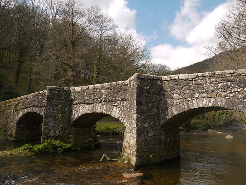

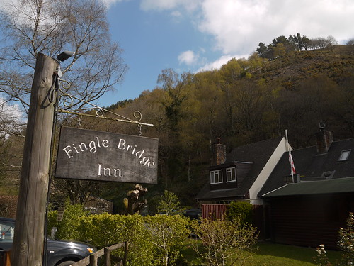
Fingle Bridge
Fine end to a walk

Another great end to a walk
Added Bonus - It has a pub.

It's 11:24am and Sonia asks if it would be OK to have a pint
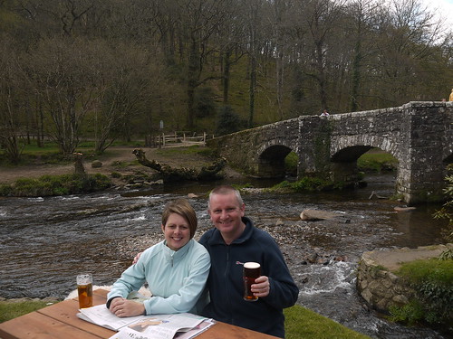

Cheers
Of Course - We are on our Bloody Holidays!

And the hilarity when we get back to the car park? Its packed solid with people asking "if we will be long?". In pay back for all those times I have waited for a space at Merry Hill, we reply that "we will be 10-15 minutes, after we have our sarnies". Oh the smugness of eating chicken and cranberry baps, whilst three cars wait for your space.

Friday, 18 April 2014

18/04/14 - Lunch amongst the Glacial Erratics

Distance - 11 Miles
Geocaches - 21
Walk Inspiration
Distance on Ridgeway - 4.7 Miles
Starting Point - Free parking at Barbury Castle

I never for a moment expected a potential walk of the year to be starting just outside of Swindon.  I suppose I shouldn't have been too surprised, I have been to Barbury Castle once before.  This was for a works social event that involved the use of shotguns.  It could have gone very badly wrong.  I remember at the time thinking that this looked like fine walking country and vowed to come back.

Its taken over two years to make this happen and the reason is that its stage 2 of the Ridgeway, as I try and break down this Long Distance Path into a series of day walks.

A bank holiday and excellent weather.  What are the chances.  I didn't feel too bad getting up at 5:50am to get down here, as there was no traffic and a relatively quick drive on deserted motorways.  By 7:30am, I am parked up, booted up and have my hands on the first cache of the day.

As an extra bonus, this section of the walk is loaded with caches.  They are mainly in excellent condition and easy finds.  I could be here all day talking about them, so I will leave it with just a "thanks to the cache owners" for boosting my numbers so significantly.

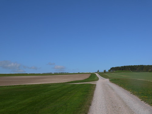
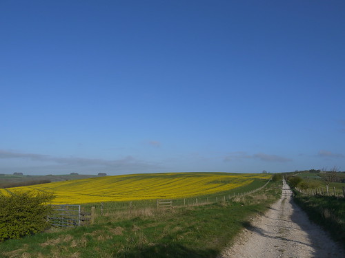
The walking is simply superb.  No need to worry about directions, as I follow an excellent path South East.

Easy Route Finding
Just follow the Chalk Road
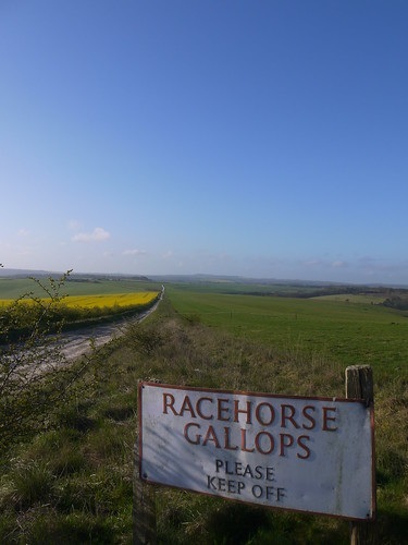
This is horse training territory.  Not your average neddies but for racehorses and a couple are out on the crest of the hills this morning, going through their paces.

Gallops
Never mind the Gallops
If my maths is correct, I have found 13 caches by the time I reach the road to Rockley.

Standing Stones
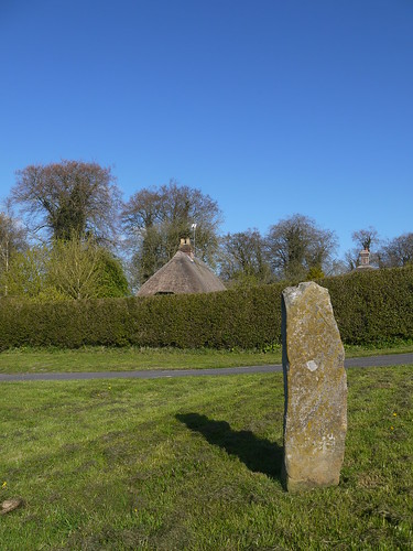
Not as many standing stones as Stage 1 in Avebury
I might be on the road, but its still superb walking through the Hamlet of Rockley.  A church, unmarked on the OS map and some interesting cottages give me something to photograph.

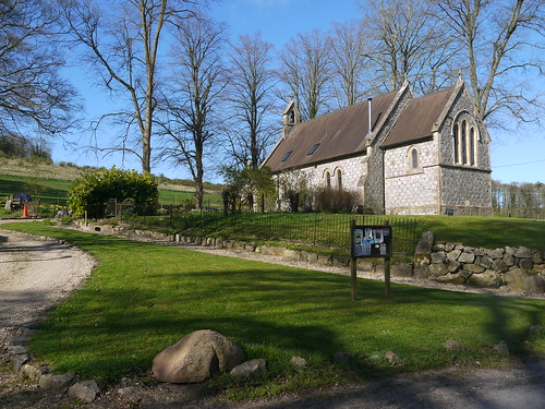
Rockley Church
Unexpected Church
Rockley
Pond Cottage on the other side of the road
I pick up a decent track through the woods and the caches start to come again.  Soon, the path turns into Green Street.  In a walk of many highlights, this could be my favourite stretch.  And I am not even on the Ridgeway yet.

green Lane
Tuck Into That
More horse training at the top of the hill.  The traditional caches dry up, but there is an earth cache to find and log.

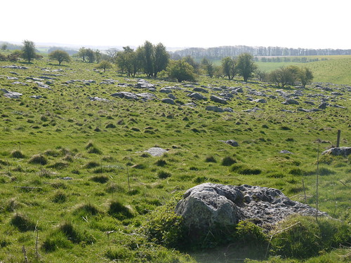
By the read of the description, it is a massive boulder in a field full of boulders, all moved here by Glaciers in the ice age.  It's the largest field of Sarsen Stones in Great Britain.

I bet Sonia can't believe she missed out on this for an extra hour in bed.

Field of Stones
Sarsen, as far as the eyes can see

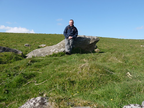
Lunch with the Glacial Erratics
And a handy place for lunch
The reason for being here is the next waypoint, as I pick up the Ridgeway at the exact spot where we tuned back to Avebury last time.

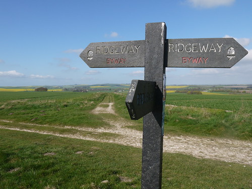
Onto the Ridgeway
Straight on, Avebury - Right fr the Ridgeway
For the first time of the day, I see other travelers, although these people are mainly on bikes.  I only have time for a quick hello, as I am mesmerized by the views.  I have a lot of photos from today.

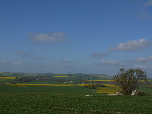
Views
Views in all directions

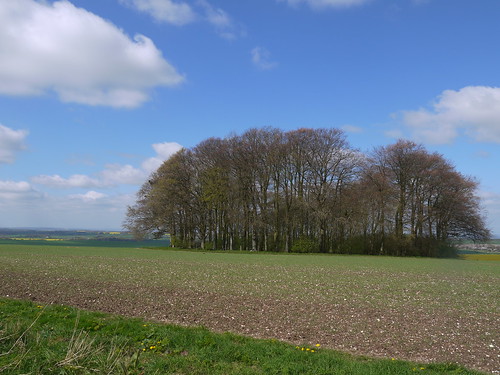
Hedgehog
These clumps of trees are known as Hedgehogs and scatter the route.  Burial Grounds.
For the first time on the Ridgeway, there are a few random caches.  All in places with superb views and occasionally hidden behind old stone markers that I would have otherwise missed.  I am pleased to get nearly five miles on the Ridgeway as well, although as I am now in double figures of miles for the walk, I am equally pleased when the Barbury Castle Hillfort comes into view.

Approaching Barbury Castle
Nearing the End - Just the ramparts to go
There is a multi cache to work out.  Which I do.  But the treasure is back the way I came, so this will be one that escapes me.

I plod on back to the car, happy that another plan is turning our so well.  Simply stunning walking today.

But wait, I hear you cry.  There is something missing from the Blog.  The remote walking today has not bought into contact with any pubs. 

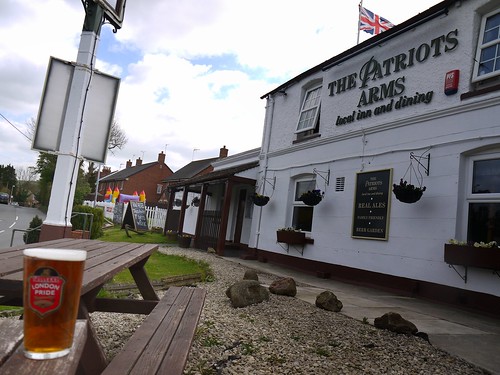
All good walks need to end somewhere
Don't worry - I spied one on the way there.  Always Patriotic, me.

Saturday, 12 April 2014

12/04/14 - Happy Valley Mappi

Distance - 10.8 Miles
Geocaches - 8
Start - Upper Warlingham Station
Finish - Banstead Station

It's London Loop time of the month. Cheap tickets to London ordered. Mr Piggy Sausage Rolls purchased. Alarm set for a stupid O'Clock.

Today, an alarm is not needed. The dustbins are coming with me. This means one of them is in the shower for 4:50am and then asking his mother where the iron is. The other is more slumbersome, having not got in till 2am.

To be fair, both were ready for the 5:40am departure. Even if Alex didn't have shoes or socks on. Car and train to the smoke.

I leave the pair of them at Euston Station and make my way to Upper Warlingham station, via Victoria. 8:52 and I am ready to head off.

Before starting the walk, I have to turn on my new toy. I have had my eye on an Autographer camera since I saw a review saying that basically they were rubbish but an interesting concept. I thought it could be a nice way of doing time lapse photography of a walk but wasn't going to pay the £299 price for one. A bit of sniping on ebay got me a brand new one for less than half price.

And here are the results.


Basically rubbish, but an interesting concept.  I do like the way that it captured the route, caught me caching and eating my Piggy savoury snack.  Not sure I like the weird fish eye effect.

And the walk.  Another superb stretch of the London Outer Orbital Path.

Granted the start is pants, walking through Upper Warlingham and past the gas tanks but as soon as I am up the other side of the valley, I am rewarded with great views and countryside.


First views from the London Loop
Looking back the way I came and the Chalk Cliffs I walked on in Stage 8

The first cache of the day is a boster.  Took a bit of finding and minor tree climbing, but I was in the woodland wilds, so no-one can see.
Get back onto the path and start getting a stride on, through Kenley Common and passing a WWII airfield.  Eerily enough, a siren sounded as I made my way past.

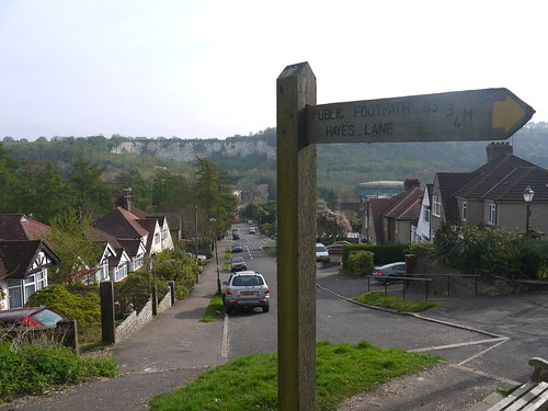
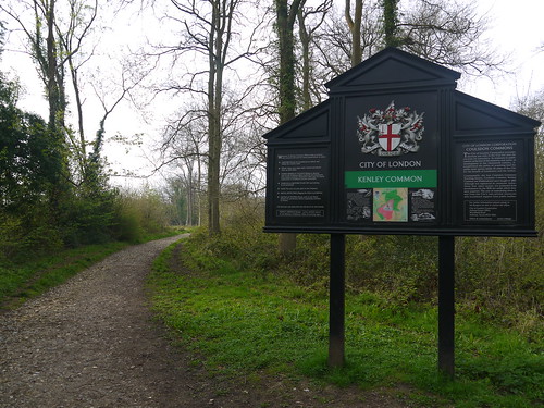
Kenley Common
More great walking on the Loop

Cache 2 is found far more easily, even if I am muggled on signing.  I don't think there were interested in what I was doing in a bush.  Some straightforward country walking through horse fields before I am muggled again at cache 3.  These two people were even less interested in what I was doing behind a tree.
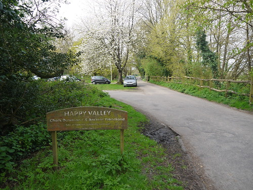
I then arrive at the easily the best part of the Walk - The Happy Valley.  This is an area of chalk downland that provides superb, wild walking.

The Happy Valley
This Looks Promising for the Mappiman

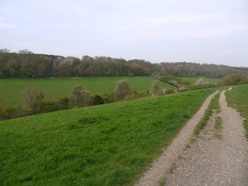
Great Walking Country
It leads to this rural idyll

I drop down to the valley floor and then climb the other side to reach the a mile long ridge path that takes me into Couldson town.  The first part of civilisation since I left Warlingham.

Walking the Ridge
Take me to Couldson

Not much of interest in Couldson, a couple of micro caches to keep me entertained.  Not too disappointed to move on, especially as the environment gets rougher and rougher the further I get out of town. 

When I hit the countryside again, I am provided with a lovely view of London, albeit around 15 miles away. 

Super Views back over London
London, far away over the hedge

I have been walking for three hours now and decide that I can take a breather - stopping at the lavender fields to sit on a stile and eat my lunch. 

Find a couple more caches - that were last found by a cacher called Mapman4752.  What are the chances?

The one problem with this leg off the Loop is that the trains only run from Banstead at 38 past the hour.  As I hit the downs, I realise I can make the 12:38, provided I can cover a mile and a bit in 20 minutes.
This leads to some fast walking.  I may have misjudged the distance as the minutes are rolling by and my sat nav is not showing the requisite amount of progress.

I start running.  This is not a pretty sight for the Banstead golfers.

Two minutes left and I am at the road.  150 metres uphill to the station.  I sprint.  I get on the platform.
The train left 1 minute ago.

Damn Mr Piggy and his savoury delights.

I have an hour with no pub and only one side tracked cache to find.  I spend the other 45 minutes bluetooth connecting my Authograher camera my android phone and rerunning the route.
I'll have a good look at the downs on Stage 6.

Get back to Euston, via Victoria and the kids meet me in the Doric Arch, 20 minutes before our train home. 

An all round successful day.

Saturday, 5 April 2014

05/04/14 - Pleasures Combined

Walk Inspiration - Millennium Way Stage 11
Distance - 6.25 Miles
Geocaches - 14


Time is just too precious.  Too many plans, not enough free time.  So what to do?

How about combining my hobbies?

This one takes in a Top 10 County Pub, loads of Geocaches and this month's installment of the Millennium Way.  Perfect for a man with more ideas than time.

The route would have us start at the Throckmorton Arms.  I prefer to have Alcester as my start, as on my return, I will be delivered to my pub to investigate.  From previous walk, I also know that the parking is free.

So park up and head out on familiar paths along the Monarch's way.  Someone has been planting caches, otherwise I would have had these previously.

Fields of Yellow on the Monarch's Way
Fields of Yellow as we head out of Alcester
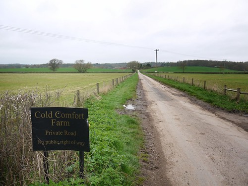
Cold Comfort Farm
Turn Right at the entrance to Cold Comfort Farm
Nine caches as we make out way along Spittle Brook towards Coughton Lane.  Quite a variety and I have to make use of several tools in my Geocaching bag, including Tweezers, Penknife and Magnetic Ariel effect "Bodger".  Add in a couple of near tumbles into various streams and good spirits abound.

Cache GZ
Easily the best GZ on route
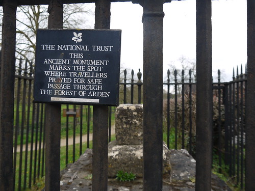
A mile on the tarmac of Coughton Lane brings us to the first real things of historical interest.

Ancient Monument
Medieval Cross marking the entrance to the Forest of Arden
We also obtain glimpses of Coughton Court through the trees and over the heads of the new born sheep.  Another walk, another Tudor reference, as this was the home of the Throckmorton Family - close friends of Henry VIII.  Until he tried to divorce Katherine of Aragon.

Two Churches and Coughton Court
From R-L, Catholic Church, Church of England, Tudor Manor House
Catholic Church
Sonia wanted my feet over the top of the tower.  Achieved Neither.
A couple more caches on the way to pick up the River Arrow, which we follow all the way south back to the town.  The walking is OK but expectations of refreshments are taking priority.

I have completed my research and I am looking forward to the eight real ales that are served at the Hollybush in town. 

What happens when you take a woman to a Top 10 Pub
However, Mrs Mappiman has other ideas
But I will not be denied to tick off the Top 10 pubs in my closest counties.

The Hollybush
Unassuming from the Outside
My Turn
Joyful on the Inside
The pub is a proper 10 out of 10 experience.  It doesn't look much on the outside but inside its has a central bar with some lovely alcoves surrounding it.  The dining room and menu looked incredible.

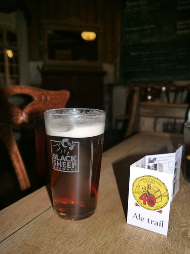
And with my perfect pint of Black Sheep, I was presented with a card to collect stamps from the top 40 real ale pubs in Warwickshire.

Could I have found a new challenge?

We return to the car by walking up the high street passing;

  1. Turks Head
  2. Three Tuns
  3. The Bear
  4. The Royal Oak
All in a line.  All waiting to be discovered.  We get to the car park at the back of the Swan.  We can see two more pubs.  The Swan have a comedy night on tonight.

Alcester.  You are my new favourite town.