Quadruple Inspiration to Find "Sand Well"
A lot going on for a simple walk between two West Midlands Railway Stations.
History West Midlands Podcasts
My monthly listen is the opening podcast about the Black Country, focusing on the post WWII glory years. Full employment, workers rights, massive house building. Setting the boomers up for a life of good luck unavailable to the future generations.
There is nothing specifically mentioned in terms of people or places to base a walk on. The Bentley Estate in Darlaston a possibility but I doubt it offers much in the way of walking or pubs. The GKN factory in Heath Street long gone. Inspiration was found from the former mining works in Sandwell Valley Country Park. A walk - the Miner's Trail - was found and adapted into the walk.
 |
| Sandwell Country Park - a pond hiding former mine works |
The real interest here is from a much older age. Three information boards tell all you need to know about the spring that gave the area its name, a priory and a later hall. Only some foundations - and the unattractive, sandbagged spring remain.
Tucked away in Sandwell Valley are the remains of Sandwell Priory, a small Benedictine monastery founded in the late 12th century beside the Sand Well, a natural spring believed to possess healing qualities that gave both the priory and the modern borough their name. Following the priory's closure in 1525, the site later became home to Sandwell Hall, a grand country house built by the Dartmouth family in the early 18th century. Although the hall was demolished in 1928, archaeological excavations have since revealed the foundations of both the medieval priory and the later mansion, allowing visitors to trace more than 700 years of history in a single peaceful corner of the valley.
 |
| Priory and Hall Remains |
 |
| Sandwell, bubbling up |
Pub Walks in the Black Country
My next walk from this book is in Sandwell Country Park. Only two miles, and covering the afore-photographed pond, Swan Pond and the priory remains. Two miles cannot justify the public transport costs for a separate visit, so I simply add most of the loop into the walk. And the pub? The Churchfield Tavern, Little Lane is recommended for Banks Bitter and Mild.
 |
| Demolished in 2013 |
From the photo, it looks a mishmash of extensions, with a rather oddly positioned chimney. Research shows that somewhere there was a both a bowling green and a petting zoo for goats, horses and rabbits.
High in the list of google results was
Alan Winfield's epic (aren't they always) 1988 pub crawl of West Bromwich. Added to my to-do list to see if anything still remains in this fast changing pub ticking world. 13 pubs are listed, my betting is there are no more than four remaining.
I will report back.
Dudley Geosites
Sandwell Valley Country Park and Smethwick Galton Bridge are both Dudley Geosite locations. 2 more knocked off.
Rail Trails
Of course, there is no official route from Smethwick Galton Bridge to The Hawthorns. An unofficial one from
Railwalks.co.uk is only 1.2 miles (but the next stage is perfect, downloaded and ready to go). It's down to me to work out how to cross the bridge and get to Sandwell Country Park. A decent enough urban walk on properly marked walking/cycling paths. I learn just how close the Vine is to SGB station, which I am sure will come in useful. Handy twirly footbridges allow for safe crossings of dual carriageways and an interesting way to access Dartmouth Park.
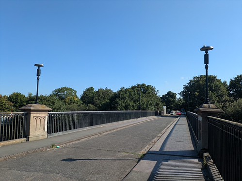 |
| SGB, 1829 and once the highest single span bridge in the world. Looks better from the canal below. |
 |
| A view of Turner's Hill from a twirly footbridge |
Dartmouth Park leads to Sandwell Country Park, where Park Lane can be avoided by a parallel, unmarked footpath that avoids death-by-hatchback. Into Handsworth Cemetery, where a handily placed exit leaves you opposite the Hawthorns, stadium, not station.
Proving just how much of a community club West Bromwich Albion are, they offer a lovely Garden of Remembrance. Loved ones' ashes can be left looking at the stadium. It has been my dad's home for the last 11 years.
Of course, I popped in.
 |
| "Gone for a shout" |
Walk Details
Distance - 6 miles
Geocaches - 2


No comments:
Post a Comment