Ancient paths, wild moorland and £5 pints in Oldham
I asked AI to provide a summary of this stage of Greater Manchester's boundary path;
Not bad..... this is a proper walk - the first half on ancient paths, with names on the OS Map like Hague Road and Coach Road. Ahead, you can see what awaits.
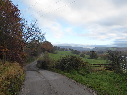 |
| In the far distance, the Arnfield Moors |
Hollingworth is the last place to bail out for civilisation. Should you press on, you are in wild moorland country of crashed aeroplanes and vague paths. You see no one. Anything goes wrong and you are on your own. Look behind, and you get the occasional glimpse of the Manchester skyscrapers. The city looks alien. Alas, it was directly into the sun, so photos were hopeless but will stay in my memory
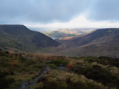 |
| Looking away from the Sun on Arnfield Moor |
There is a "diversion" that runs for 1/2 mile to Chew Reservoir, only to immediately double back. On plotting, I thought this is because the walk designers really wanted you to see the body of water. On arrival, there is no choice - its a high ridge path over the waterfalls, with the exit - the access road - far below. Stunning walking.
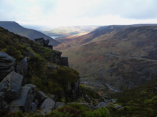 |
| Chew Hurdles - with Chew Road feint on the RHS |
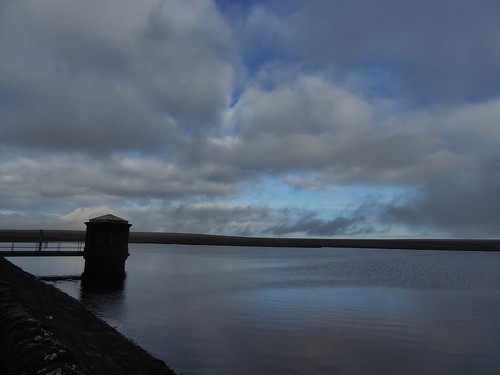 |
| Chew reservoir - seen one, seen them all |
The access road is picked up, forever downwards and becoming the Oldham Way.
My destination - Greenfield. Home of two Good Beer Guide Pubs;
The Wellington is a solid enough locals pub.... a handful of pensioner diners in one room and locals hovering around the bar, outdoing each other with infectious but cheesy jokes. I should take notes, there was a cracking one about a pirate with the punchline "cause they arrrrrrrrr".
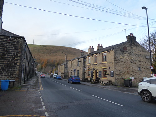 |
| The End of Terrace Wellington |
Most of the cask was from Millstone brewery. Their pump clips offer no clue as to what the style of each beer is. Asking about Tiger Rut was met with "Bitter".
 |
| Takes too much time to use Untappd at the bar |
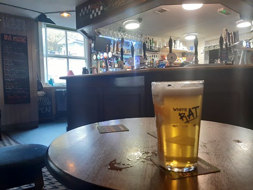
It was a Golden Ale and exceptionally cold.
Next to the station is the imaginatively named The Railway
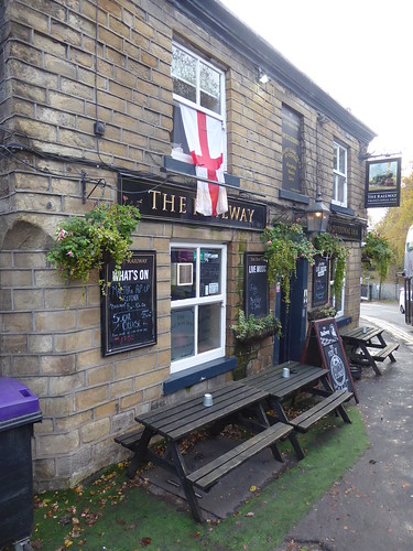 |
| You can see the trains pulling up. Usually delayed |
I decide my starting my conversion by asking if they all the beers on the board available. I am assured they are.
Walk Information
Start - Broadbottom
Finish - Greenfield
Previous Stages - Stage 1, Stage 2, Stage 3, Stage 4, Stage 5, Stage 6, Stage 7
Distance - 12.5 Miles
Geocaches - 3
Good Beer Guide Tick - #917 and #918
No comments:
Post a Comment