Start - Coseley
Finish - Busbury
Distance - 8 Miles
Geocaches - 6
Pubs - 2
Proving that there are no new ideas, someone in the Ramblers recreated the Capital Ring for Wolverhampton.
I myself had executed the same idea for Birmingham. I setup a website. It faired slightly worse than this bog. 8 years in existence and 1 comment. With Ordnance Survey rescinding the API to use their maps on private websites, its hardly going to increase in usage.
Still - it was a good idea.
And so is the Wolverhampton Ring. I can break the 27 mile walk down into three stages and use public transport (I am a patient man) and make maximum use of the Good Beer Guide Pubs that are undiscovered. Or the Great Western, should I be able to remember how to get there.
Phase 1 sees me alighting at Coseley and instantly picking up the Birmingham Canal for a geocache laden stretch of easy walking.
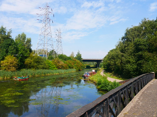 |
| A pleasant start to the Wolverhampton Ring |
The canal is left at Bilston. To be exact, on the OS Map it's marked as Freezeland. Some urban walking past East Park Speedway Stadium and then we have to get through Neachells Industrial Park.
I'd love to meet the route designers. There must have been a way around it :-)
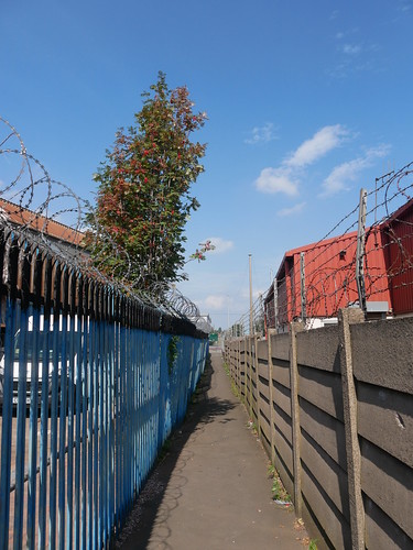 |
| This is the good bit. It gets narrower and totally overgrown |
Let's put that behind us, for once you have been ogled at by bemused overall wearing panel beaters having a lunch break (why do they all drink Monster?), you are delivered to Wednesfield. With hindsight, I shouldn't have worn my tightest walking top.
The Vine, Lichfield Road, Wednesfield - GBG Tick #584
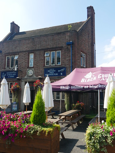 |
| The Vine |
Its a rare, untouched inter-war community pub, built in 1938. And it's gorgeous.
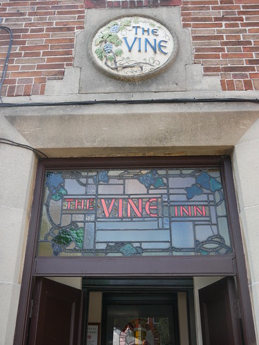 |
| A warm welcome |
 |
| The Lounge. The Bar was packed. |
West Midlands boozehounds will recognise it as a Black Country Ales Pub from the TV Screen listing a bunch of beers that you may have heard off, but possibly haven't. They have their regular, brewery own beers but the guest ales can be totally random. What is not, is the cobs.
My Wantsum Dynamo golden ale added to a perfect lunch.
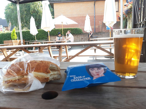 |
| Lunch, Wolvo Style |
On with the walking - the crystal clear Wryley and Essington canal leads to the Monarch's way and a lane that time forgot.
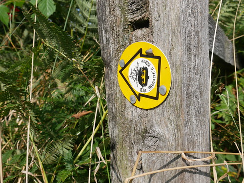 |
| The Monarch, losing his pursuers at Wolvo Ring Road |
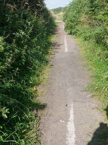 |
| Hampton Lane, no more |
Pass through Northycote Farm and have the only navigational problems of the day at the Corporate Art in Bushbury Hill Cemetary - where a bridle path simply disappears, replaced by fencing.
A good place to call it a day and the number 33 whisks me back into town. I embarrass myself by dinging the bell just before it pulls up in the bus station. Have you ever heard a bus full of people guffaw?
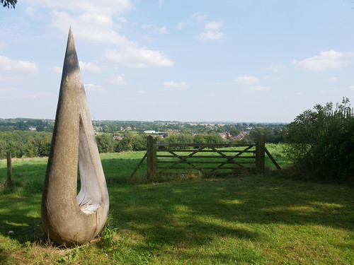 |
| SJ 929 027 - where an experienced rambler lost the bridle path |
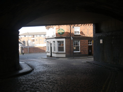
If you are at the stations of Wolverhampton (bus or train), then there is only one place to go. Note to future self - if you get to the taxi rank, you are on the right path.

No comments:
Post a Comment