Distance - 12.3 Miles
Geocaches - 2
Places of Interest - Quarr Abbey, Ryde
The latest adventure - an island circuit. If the trip involves a ferry crossing, I can class it as a holiday abroad.
We're based in East Cowes - literally 200m from where the Red Funnel docks. I can hear the cars clunking as I blog.
The Isle of Wight Coast path has the first sign right outside our front door. 8:30am, we head off for a mixed bag of walking and weather.
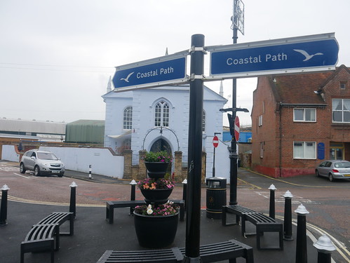 |
| Blue waymarkers outside our gaff, providing the week's navigational hand rail |
The start really questions the sanity of this project. We are following the coast path signs, but the roads past Osborne House and through Wootton provide no views of the sea. The stretch through Wootton actually takes you through some lock up garages in a housing estate. Odd, but we are early into the journey and optimism is high.
 |
| No pictures of lock up garages and as close to Osborne House as we get |
Things improve at Fishbourne, as we climb Kite Hill and pick up a path that is at least near the sea at Quarr Abbey.
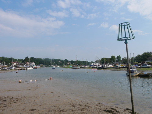 |
| Wootton Creek - Nearly the Sea |
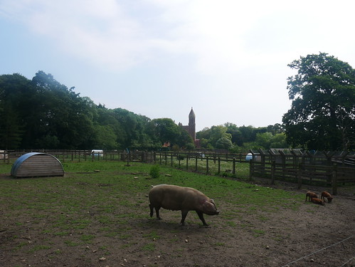 |
| The pigs (and piglets) of Quarr Abbey |
Ryde is ahead and the pier provides the first chance to have a break. A handful of mods have parked up their vespas - presumably early for the next bank holiday festival. The Pier Cafe lures us in with its chalk menu promising "draught beers". San Miguel is a bit too Euro Fizz, so I stick with the bottled Yates Dark Side, having yesterday discovered the brewery at our first Good Beer Guide Pub Tick on the Island, the Lifeboat.
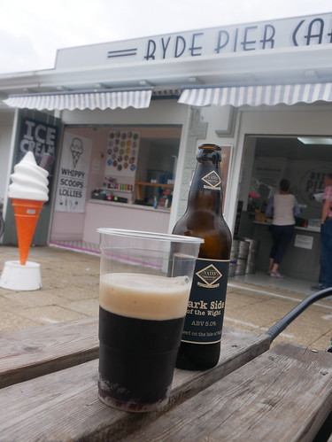 |
| Yates Dark Side at the Ryde Pier Cafe |
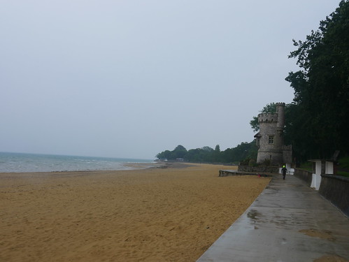 |
| Leaving Ryde in the Rain |
Refreshments finished, we head off just as the heavens open in a downpour. A ringside view of that most traditional of British Holiday scenes, the families rushing to pack up belongings to get shelter.
And its shelter we find, at a hut we share with a man whose circumstances intrigue. 10 weeks, he has has been here and according to him, it's rained every day. We wonder what sort of man spends 10 weeks in a hut in Ryde, as we leave him to it and continue along the seafront, all the way to the next town.
Mrs M enquires as to what town it is and my map says "Seaview", which she says sounds like a B&B rather than a town. A couple of handsome pubs, with enviable views, but alas, its deemed too soon since Ryde to stop at either the Boat House or the Old Fort.
Seaview leads to Seagrove Bay, where the first navigational decision needs to be made - and of course, we make the wrong choice. My GPS route would have us heading inland at the Southern End of the Bay. The blue signs indicate that we continue on the sea front. We do, and we are faced with the mud bath that is Priory Woods. A handy sign about a 1/2 a mile after this decision point tells us that its steep, muddy and should only be attempted by people correctly attired. Salt is rubbed into the wound by suggesting a more pleasant path can be found inland. My originally planned route.
 |
| Sticking to the coast, for the mud at Priory Woods |
We are in a bit of state, by the time we reach the Vine in St Helens - handily positioned to provide refreshments, whilst waiting 40 minutes for the next bus on a Sunday. But they don't mind - a fine secret garden keeps us off the carpets and they have adapted to the new normal. Each table in the garden has a little doorbell to call for assistance.
Surprisingly, 60 seconds after pressing a waitress comes to take our order - where the real ale choice is Doom Bar. Great to see a system working.
And the bus was bang on time.
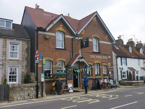 |
| Mrs M telling other ramblers about the mud |
No comments:
Post a Comment