Saturday, 31 January 2015

31/1/15 - London Loop Summary

Distance - 152 Miles
Geocaches - 126
Started - Erith, 16/11/13
Finished - Purfleet, 31/01/15


The Best Section - As expected on a journey of this magnitude, there were many highlights.  The eerie walk in dark through Pett's Wood, nearly getting a pint bought for me by my daughter after the Hatton Cross section and eating my sandwiches on a bench under Wildberforce's Oak all stand out. However, the best section had to be the unexpected chalk uplands in the Happy Valley on Stage 5.  A real surprise to be in such good walking country.

The Worst Section - Again, a few to choose from.  Not a big fan of the canals of the North Western section of the loop.  Erith had fine views as long as you were looking at the river and not the inland scrapyards but for pure misery, nothing beats the 1/2 mile down the A1 to go under a tunnel and walk 1/2 mile back up the otherside on Stage 11.

Purfleet, with its one down at heel pub, is no place for a finale.

The Stages (Click on the Hyperlink for Stage Details)

16/11/13 - Erith - Stage 1
12/12/13 - Bexley - Stage 2
18/01/14 - Pett's Wood - Stage 3
22/03/14 - Hayes - Stage 4 
12/04/14 - Upper Warlingham - Stage 5
17/05/14 - Banstead - Stage 6
07/06/14 - Kingston - Stage 7
12/07/14 - Hatton Cross - Stage 8
02/08/14 - Uxbridge - Stage 9
30/08/14 - Moor Park - Stage 10
18/10/14 - Elstree - Stage 11
15/11/14 - Cockfosters - Stage 12
03/01/15 - Chingford - Stage 13
31/01/15 - Harold Wood - Stage 14

London Loop Start
Fresh Faced and Keen - 16/11/13
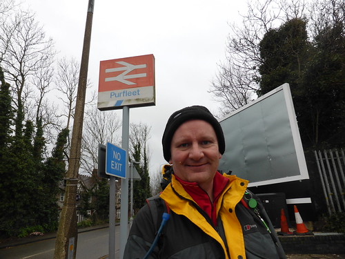
Purfleet - The End
Bedraggled but triumphant - 31/01/15
Summary
After finishing the Capital Ring in September 2014, I was looking for my next challenge.  The London Loop was an obvious choice.  Further out and longer in duration, there was no chance of being able to do it over summer evenings when working in the smoke.

So, I committed to taking advantage of cheap Virgin Train tickets on the weekend (won't have a word said against them) and making a monthly pilgrimage.  Despite minor problems when the local trains weren't running because of the February 2014 storms, I stuck to my goal and finished exactly as planned in January 2015.
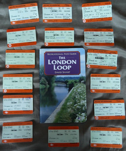

London Loop
15 Trips to the Smoke
On reflection at having finished, its been a blast.  Exactly as expected, wild sections of woodland and farmland, canals, satellite towns, crossing over major roadways and under busy airport skies.  Nearly always well signposted and easily accessible.

Its taken me to places I would never have considered visiting before.

Who would have thought that you could lose yourself in woodland under the roar of landing aircraft near Heathrow?

How long does the train take to get down the single track line to Banstead? - I can still hear the tannoy announcements of stations when I drop off to sleep

Why was a fine looking pub near Stanmore Woods turned into a Gentlemen's establishment for people with clean garments?  I don't know as my mud caked hiking boots ruled me out of further investigation.

I'm delighted to have achieved my goal, but as always with finishing a long term plan, there is a slight feeling of melancholy.  Still, I will can cheer myself up with a certificate.
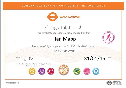
LL
Certifiable

So what next for one weekend in every four?  Well, check out the London Countyway.  It ticks all the boxes - a third circle of London, this time even further out from the centre.  It is, however, an historical route that hasn't been publicised or maintained since the late 70s.  It will be interesting to see if it's still achievable.
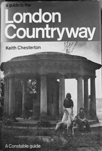
London Loop
Long out of print - thank god for Ebay
This can start in 2016.  For the rest of this year, I am spending my train money on investigating some vintage walks from London Underground in 1960s and 1970s guide books.

London Loop
2015 Plans

31/01/15 - An Unfitting End

Start - Harold Wood
Finish - Purfleet
Distance - 13.7 Miles
Geocaches - 14


Carriage A of the 7:20am Birmingham International to Euston resounded to the cheers of middle aged women and the popping of champagne corks. Alas, this was nothing to do my final leg of London Loop but with me accidently finding myself in the middle of a pre-breakfast hen do.  Terry Thomas could have had a field day.

So this is it - 15 months in the making and I find myself travelling to Harold Wood for the final piece of the jigsaw.  A week looking at increasingly ominous weather forecasts suggest everything from blue skies to snowstorms.  In the end, I escape relatively lightly - even if the last four miles were through horizontal sleet.

I'm in for a lengthy haul today, so after a DNF at Harold Wood Station, I can ignore the geocaching and get on with a good few uninterrupted miles.  This walking is through a pleasant enough landscape following the minor Ingrebourne river, into a nature reserve.

Ingbourne Valley
Mud avoiding Tarmac Paths for most of Today
First signs of civilisation are at Upminster Bridge, but I'm on tight timescales, so have no time to stop for refreshments.  I also set a time limit on cache hunting, which means number 2 of the day is also a fail.

Never mind, there are loads in Hornchurch Country Park, a former WW1 and WW2 RAF base.  Somehow, the ground and many lakes did not look suitable enough to support the take off and landing of Spitfires.  There is plenty of evidence of its former use with many old pill boxes just off the paths.

Muggles avoided and an increase on my smiley count, I come to Rainham - where naturally enough, it starts raining.  I have factored in time for a break if the pubs on route look suitable.

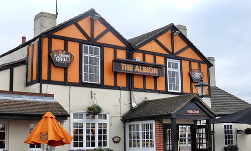
They are not.

Something is Wrong Here
If you're going to name the pub the Albion, don't put it in Wolves colours.
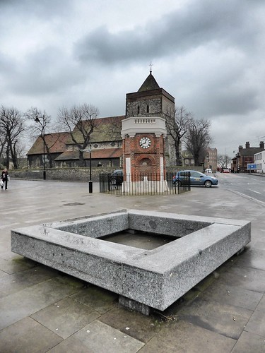
The ones in town are even worse.  I take a look at the Norman Church and head off, thirsty.

Rainham
Corporate Art, War Memorial and Norman Church
The tourist information signs don't really offer much in the way of quality entertainment.

Tourist Information
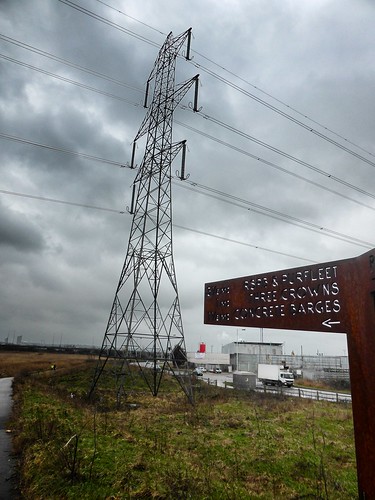
Go past the Pylon to look at the Concrete Barges
It's a strange landscape once outside Rainham.  Over the railway line and into Rainham Marshes, were the usually ubiquitous London Loop signs disappear.  I do fancy a look at the concrete barges but despite being in the guidebook, the direction arrows are sending me in the opposite direction.

I revise my plans to make sure I complete every inch of the London Loop and set a course to the grey factories and warehouses.  It's that sort of landscape.  A last dissection of two industrial units bring me to the flood defences of the Thames and the original end - the site of the old Rainham to Erith ferry.

Erith Ferry
No Ferry running now
The guidebook suggests turning around and going back to Rainham station, but improvements to the loop have been subsequently made.  It's now possible to follow the river into Purfleet and get the train from there.

Its a cache laden stretch with industrial views.  The problem is that I get caught up in the Essex Husky Walking society and the sleet comes in horizontally to make these Arctic dogs feel at home.  Eventually, I wait for all 30 of them to disappear into the distance by pretending to take photos of art installations and the aforementioned concrete barges, which are thankfully on route.

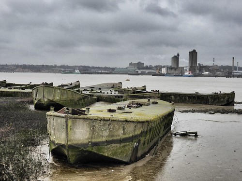
Concrete Barges
Originally supporting the D-Day landings - now an unneeded flood defence
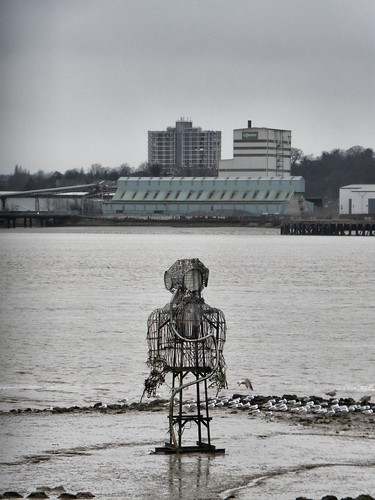
The Diver
The Diver by John Kaufman
There's not much of beauty along this stretch, although it's popular with bird watchers.  All there is for me to do is keep the Dartford Bridge on the horizon and attempt to thaw out my freezing fingers between caches.

Dartford bridge
All Grey and Grim
Once past the RSPB centre, its a short walk into the town and the station.  There is a grand choice of one hostelry to celebrate the end of this 152 mile odyssey.

The website for the Royal Hotel makes a play of its former glory as a Royal Opera house and "it putting the Purfect into Purfleet".  TripAdvisor has a different view, with the majority of reviews poor or terrible, with pictures of mouldy bathroom fixtures.  I found friendly bar staff, no real ales and the Irish residents holding court at the bar and entertaining themselves by holding a swearing competition.

The Only Available Option
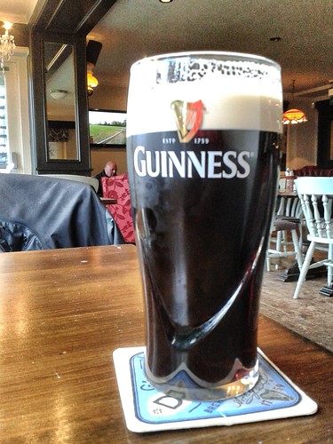
Joined in by ordering a Fecking Guinness
20 minutes to get the train, a tearful farewell to the last of the London Loop green signs and obligatory photo to mark the end.

Purfleet - The End
That's the Loop Done
Click on the hyperlink for a full summary of the London Loop


Sunday, 25 January 2015

24/01/15 - The Edge

Distance - 13 Miles
Geocaches - 5
Walk Inspiration - Country Walking Magazine - Jan 2015

20 Hours after completing this monster, my aching legs are asking questions of my list ticking brain as to why exactly this was on my bucket list.

In execution, it kind of hurt.

But Stanage Edge was somewhere that I have been meaning to knock off for a long time.  I had even planned where in Hathersage I was going to stay and which pubs I was going to frequent.  However, when it came down to it, I set my alarm early and headed off for a day round trip.

The weather is promising - there's been some snow and the weathermen on several sites insist that there is a zero percent chance of precipitation.  Hard Shells are left at home.

Choosing the route is easy.  Country Walking Magazine have a 12.5 miler that covers the entire Edge.  If I am going to do it, I am going to do all of it.

2 hours after setting off, I am parking up just shy of the suggested parking to get a sunrise shot.

Peak District
My Playground for the day
It's on opening the car door that I am faced with how cold it is.  No panic, In an outdoor homage to Nick Kershaw, I have brought my snood.

Stanage Edge
Similarities to Jihadi John are totally accidental
I knew the walk had been well thought out, it starts at a pub.  This provides me with the inspiration to keep on, when the going gets tough.

Head down to Burbage Bridge and out into the wilds of Fox Hill and Burbage Rocks.  This is where most of the Geocaches are, so its a bit of a false start, walking wise, as I scramble up, climb in and generally look around to get a few smileys.

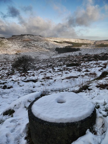
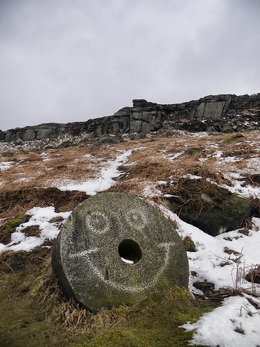
The landscape is suitably wild and littered with completed Millstones.  I find loads on the walk, including one that is a cache location.  The masons used to work on them in the field until the market suddenly collapsed in the mid 18th Century because French Millstones had the advantage of not turning the flour grey.  Best part of 300 years ago, the Mason just left their work in situ and they are still here to be found.  I find this incredible.  What a bleak place to have your livelihood pulled from under you by the French and their glorious white bread.

Stanage Edge
One of Many
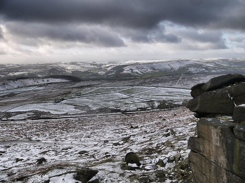
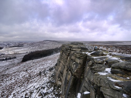
Caches and industry appreciated, its on with the walking.  Despite the fantastic views, the five miles to Stanage End are a touch monotonous.  Loads of photos are taken but the only really variety on offer is when your foot breaks through the snow and ice and you are left to wonder whether the icy water will be sub or above boot level.

I'll let you view the superb landscapes, rather than worry about my frostbitten tootsies.

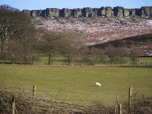
Stanage Edge
Look Carefully - A couple more Millstone down below
Stanage Edge
Stanage Edge - its goes on an on
Stanage Edge
Somehow, not as high as expected


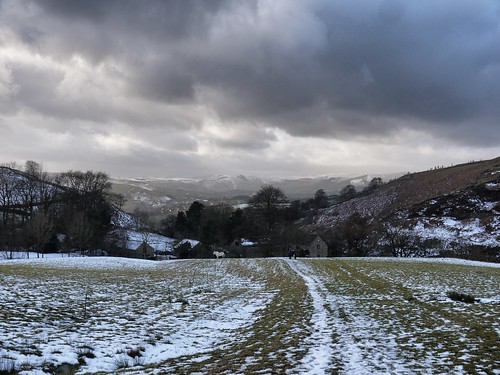
There's only so much edging a man can take, so I am kind of relieved when I get to the end and drop down.  The walk back takes me under the egde at first and then through some glorious farm land.

You can see from the photos that the sky is not quite as clear as the weathermen predicted.  And true enough, I am faced with a mercifully brief blizzard that stings my eyes and questions my sanity.  I share my thoughts with a passing Swede who tells me "don't worry, it will soon stop".

And she is right.  And the Millstones tell me that all is good in the world.

Stanage Edge
Don't Worry, Be Happy
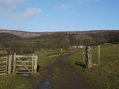
I really enjoy the walk back through the ancient field systems and farmland.  The views behind show off the Edge even better than the views from above and the sun comes out.

Stanage Edge
I was one of those dots on there a couple of hours before
Stanage Edge
The Edge

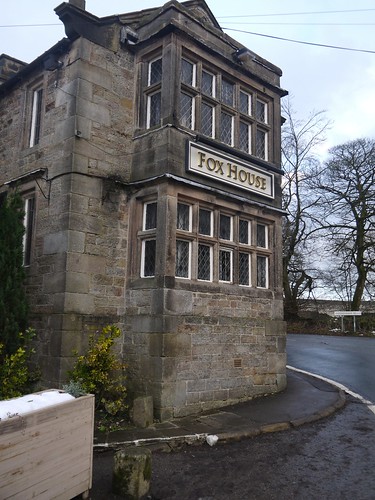
With slight misfortune for my weary legs, it all seems to be uphill as I make my way through Mitchell Field.  Its slow going.  All I can do is keep myself motivated by hoping they have one of my many favourite ales on at the Fox House Inn.

Stanage Edge
Mitchell Field and the Peak District
Hathersage Moor is a mess of indistinct footpaths, so I am pleased to get out the otherside at Toad's Mouth and meet the civilisation of multiple dog walkers.  The end must be nigh.

Stanage Edge
Never has a pub looked more beautiful
Stanage Edge
My Reward - 2nd Favourite Ale - Black Sheep

Two sips of my Black Sheep and a warm in front of their fire and I am feeling human again.


Sunday, 18 January 2015

18/01/15 - Raffles

Walk Inspiration
Distance - 4 Miles
Geocaches - 10

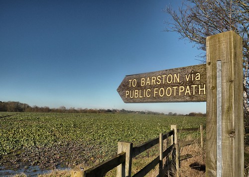
I know I was out yesterday, but the sky is just too blue to stay indoors. So, I'll slip in this month's leg on the Millennium Way as a bonus walk for the weekend. And its a boster. From Barston.

What do I know of Barston? I've vowed to come back and see the winner of Solihull Camra pub of the year since I stumbled on it this time last year on a walk around Temple Balsall. Like the Temple, this is a village that has its roots with the knights templar. It's full of ancient buildings, one of them formerly owned by the Irish footballer, Robbie Keane.

I park up at the pub, knowing that I will be frequenting it later and leave the car to be looked after by a Donkey with an asbo.
Bartson - Raffles - Donkey Asbo
Raffles, the Biter
Head eastwards down Barston Lane and pass the impressive Barston Hall.  There's a high volume of caches on this route and the first couple are found before I cross the River Blythe.

Bartson - River Blythe
Over the Blythe
Its not long before I am off the lane and into the open countryside.  The Millennium Way is sharing the paths with the Heart of England Way along this stretch.  Fine views, interrupted only by the frequent overhead planes coming into Birmingham International.

Bartson - Heart of England
Fine Walking.  Even firm underfoot.
Bartson - Flight Path
Da Plane, Da Plane
I am delivered into Balsall Street and get early visibility of where I will be supping in February.  Last cache of the day found over the road.

Bartson - Next Pub
Millennium Way 21 starts from Here
Back into fields, knowing that the walk is soon to be over.

Bartson - Homeward
Back to Barston
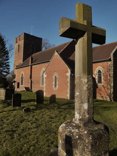
This path takes me into the Churchyard of St Swithins.  There are indications that the Solihullians were rather puritanical, as they lobbed the head off their Medieval cross.  Someone who's good at working with stone has made a half decent repair.

Bartson - Medieval Cross
Can you see the Join?
Check of Raffles.... he's fine and has come out of his house and change my footwear, so I can visit the boozer.  And a walk is only half a walk, if you don't do that.

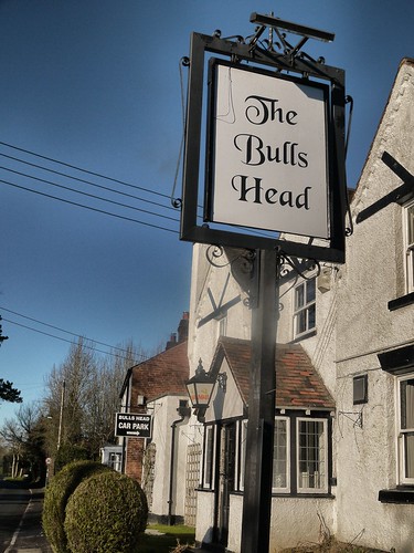
Bartson - Bulls Head
Solihull Pub of the Year
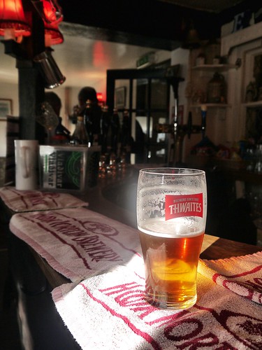
Its one of those classic pubs that haven't changed.  At all.  The light switches look bakelite.  The furniture can be described as rickety.  The bar is full of people and dogs (including a better behaved Labradoodle than ours).

I loved it.

Bartson - Bulls Head
Shine a Light

Saturday, 17 January 2015

17/01/15 - Community Spirit

Distance - 5 Miles
Geocaches - 17 Found, 2xDNF
First Geocache

I think we have found the nicest village in Worcestershire.  I completed some initial research and learned that its doomsday mentioned, a former Royal Forest and the home of the BBC newsreader, Suzanne Virdee.  We find out additional information to push it up the league table of fine places to live in the West Midlands.

In an attempt to get to 1000 caches in 2015, I am walking a geocaching round once a month.  Could have been looking for sock filled booty in the Wrekin area, but we settle on this alternative on the outskirts of Redditch.

We follow the Saltway to the town.  Those Roman's knew how to build a road - arrow straight.  Park up in the free car park.

Feckenham
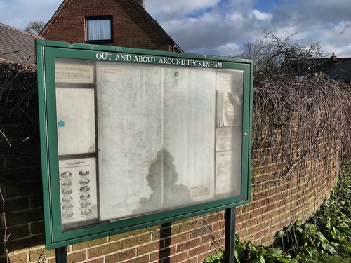
Information Board offers sound advice
The trail of cache allow the owner to show off some of the fine walking in the area.  The first couple of caches take us around some ancient earthworks to pick up an elevated path above Bow Brook.

Feckenham
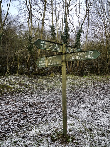
Superb Iron Fingerposts
Feckenham
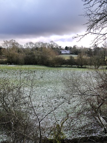
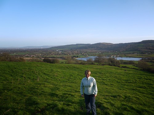
Nice Views from over Bow Brook back to the Village


I was expecting some caches out of the ordinary and the first multi of the day is certainly a little different.  I can't think of a time when I have had to take an item from the first place to the second to make get a smiley :-)

Cross the Saltway at an impressive old mill and head out into farm land that is fortunately firmer underfoot.  First DNF at number 5, where even with a smartphone to look up the meaning of the clue, we had no idea.

The walking and caching is expected (albeit with a superb classic for #6) as we make our way back to the town.

Sonia is ever vigilant and has noticed that the village stores also has a picture of a coffee cup on the side.  I am all for finding the clues to the #12 multi but she demands refreshment.  So we head in.  Indeed, they have a little coffee shop in the corner and we will remember the visit for as long as our assistant does.

He's made it to 75 without making a Mocha before.

Whilst he has a bash, he tells us all about the village and you can't fail to be impressed with what they have done.  Here are the highlights;


  1. The villagers reopened the village stores as a voluntary concern
  2. It is staffed by 70 people, who do a couple of hours each in the week
  3. The deli counter if full of produce from the two pubs, providing another revenue stream for the village boozers
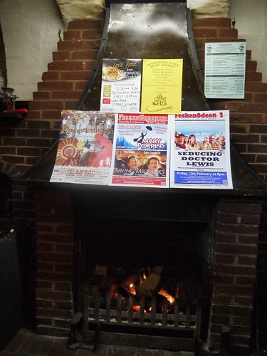
  4. They have a Cinema that comes to the Village Hall
    1. Saving Mr Banks and Mary Poppins Double Bill next, film fans
  5. They have a strong Amateur Dramatic scene, with 5 productions per year
  6. They can work out how to make a chocolate coffee hybrid drink, having previously never even heard of it.

Refreshed and informed, we head off through the town to collect the clues and every person - from the elderly gent off for a frappachino to the postman, gives us a cheery hello.

I like Feckenham and its collection of higgledy piggledy houses, friendly cultured locals and community entertainment.

Feckenham
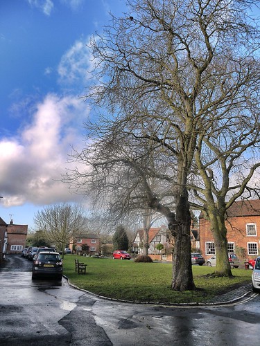
Village Green 
With the muti worked out and in the bag, I just have to convince the newly refreshed Sonia that the remaining caches are worth the effort.

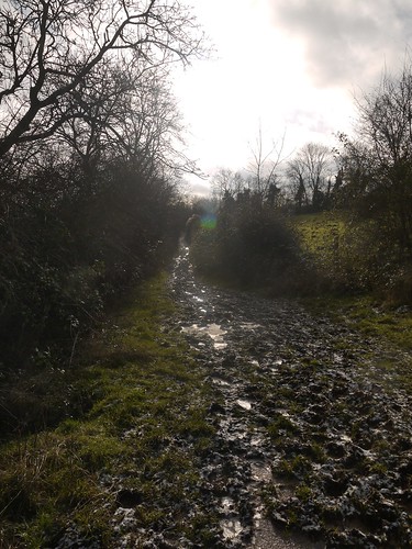
Its fortuitous that she didn't know about the mud down the sinisterly named Burial Lane otherwise I would have been faced with a much tougher proposition.

Feckenham - Burial Lane
Buried - up to your Armpits in Mud
Its a good job we get the remainder.

Thinking ahead, we have bought changes of footwear, so we de-gaiter at the car and head to less gastro of the two pubs - The Rose and Crown.

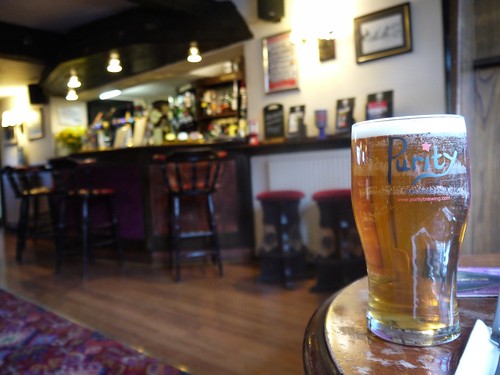
It has everything we need - fine lunch (where sarnies come with unexpected soup or chips), real ale, roaring fire and the option of buying your cinema tickets.

Feckenham - Rose and Crown
Bad Marketing - Its actually Worcestershire Gold
Feckenham - Rose and Crown
Flicks in the Sticks

HKMHill - thanks, as always, for the caches.

Feckenham, thanks for the blueprint of how a village could conduct itself for the benefit of its population.

Sunday, 11 January 2015

11/01/15 - The Villa Highlights

Walk Inspiration - AA Walks through History
Distance - 7.5 Miles
Geocaches - 4

I'm not blogging about a team that have only managed 11 goals after 21 premiership games.  You know, the team that is on closest to Midnight on Match of the Day.  The one that some people now refer to by their full title, Aston Villa Nil.

No, I am blogging about a Roman Villa, nestling in a natural bowl in the Cotswold escarpment, that is discreetly sign posted along a track at the foot of Cooper's Hill, near Birdlip.  The walk starts at a little car park next to the villa, but I will save the treat of a 2000 year old building until the end of the walk.

Sonia always likes something to look forward to.

Our guidebook promises that Roman Villas were usually placed in positions with great views.  The text states "vistas, reminiscent of a Mediterranean Landscape".  I can kind of see where they are coming from but our residing memory of this one will be the mud.  I really don't know how the Romans would have got on in their sandals.

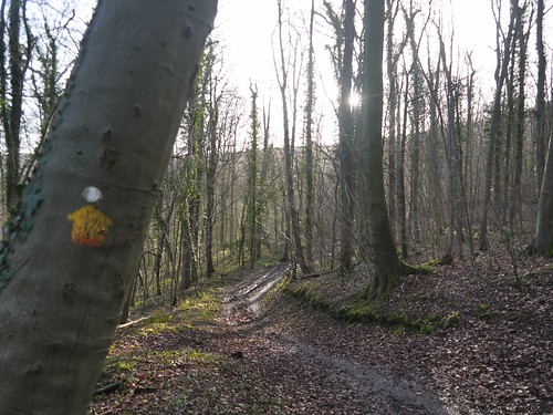
We park up, say hello to some other history lovers and head off in the opposite direction.  We have a gentle climb (through the mud) up Cooper's Hill to pick up the Cotswold Way.  Cache 1 of the day is quickly found.

Great Witcombe
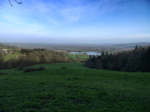
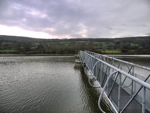
Up Cooper's Hill.  We see a lot of the Reservoir on the Walk
Great Witcombe - Cotswold Way
Old School Cotswold Way Markers through Witcombe Woods

Cooper's Hill is famous for the annual Cheese Rolling Competition - where they sling a wheel of cheese down the hill and the locals chase it - risking serious injury for curdled milk.  Nothing sums up what makes Britain Great more than that sentence.  We are on the wooded side, so don't see where this sporting extravaganza takes place.  But we can appreciate the gradients.

Great Witcombe - View from a Cache
GZ for Cache Number 2 of the day.
The only people we see in Witcombe woods are a group of around 50 ramblers.  I make a bet with Sonia that this is Gloucester 20s-40s Ramblers Group, who I have been studying from afar.  I still can't quite make up my mind about whether to join such an army.  The social aspect would be fun, but I bet there are monster queues to get over the stiles.

Internet based research when I get back shows that indeed, I was correct.  They started at 10am in Birdlip, which is where we are climbing up to.

Sonia's attention is turning to lunch.  Birdlip is the only place with a pub on route, but we are a touch too early at 11am to take advantage of the Royal George.  As we emerge from the woods, I think I spy a shop that may provide some sustenance.

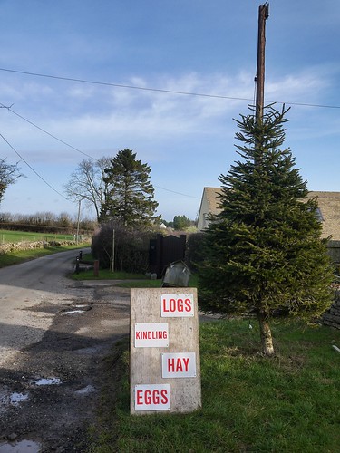
Great Witcombe
Even with the added Xmas Trees, we cannot lunch here.

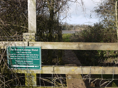
Great Witcombe
But we know where the Royal George is.  And they like Walkers
The route skirts around the back of Birdlip and pick up the Cotswold Way again, dropping down through the woods.  A discussion about rights of way ensues with the proprietor of Hill Farm about rights of way.  I am still looking at the map now to see who was correct.  Still, it's not everyday you get scolded by a farmers wife in a towel shouting out her bedroom window.

The amount of mud increases with every step we take towards Witcombe Reservoirs.  I am in danger of losing my walking partner who is starting to grumble about "only having little legs".  To remind me that alternative walking companions are available, we bump into the army of young Gloucestershire Ramblers again, stuck at a stile.

Great Witcombe - Reservoir
Witcombe Reservoir
I'm sure Blogfans are like Sonia at this point and keen to get to the crux of the walk.  After a couple more excellent caches and an introduction to the world's friendliest labrador, we arrive at the destination.

I take a couple of photos, whilst Sonia waits for me in the car.

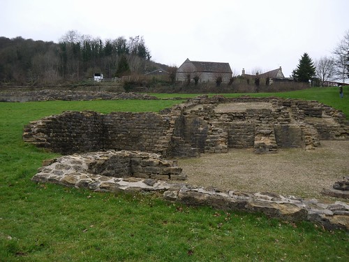
Great Witcombe - Roman Villa
All that Remains
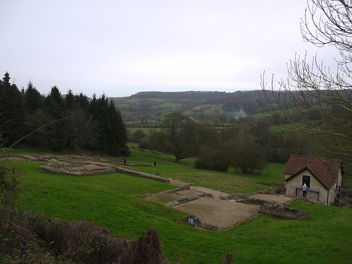
Great Witcombe - Roman Villa
The Floor Plan from Above

Back at the car, and the advertising has worked.  We head back up hill to the Royal George, where we enter in our stockinged feet, with Sonia have got the worst of the mud off her strides with my wooly walking hat.

Great Witcombe - Royal George at Birdlip
The History Walk was enjoyed by at least 50% of the Party