Distance - 11.2 Miles
Geocaches - 44 Available
Completing a 44 Geocache Trail is challenging enough but when its a Geoart trail, there is more preparatory work to be done.
This series is based on the manufacturing history of Longbridge. Back in the 90's, I worked for AT&T who managed the computer systems for the Rover Group and I worked on site for 9 months. It has stayed in my memory for two reasons.
1) Only people with a Rover car were allowed to park on site. I had a Ford Escort.
2) AT&T were trying to win contracts to support the PC and Novell NetWare computer systems but Rover Group rightly claimed they had no skills to deliver these services. So they went out and recruited a load of us with those skills. But didn't win the business. I spent 9 months travelling on a 30mile round trip and did absolutely zero work.
If only Geoart cache trails had been around - it would have provided me with some entertainment to get through the working day.
Preparatory Work
GeoArt gives the Cache Owner the opportunity to represent the mystery caches on the map as art work. In this case, a Mini.
 |
| Can you tell what it is yet? |
The finder (me) has to work through each cache in turn and solve the mystery. The majority of these were on-line jigsaw puzzles that were taking me about 20-30 minutes each. The black and white ones were especially time consuming. Still, it was better than watching Coronation Street.
 |
| Example Jigsaw - Prince Phillip visiting Longbridge asking, "Where's the Netware Support Team? |
The Walk
Parking given at Forhill Picnic area - which is dangerously close to the best pub in the area - the Coach and Horses at Weatheroak. With a family meal booked (including Mother-in-Law) at 1pm, I am under strict instructions to not be late. Knowing how much work is required to find 44 caches, I am parked up at 7am and heading out into the dry, bright but very cold April morning.
And the trail doesn't disappoint - the caches are mainly sizeable and placed to be found. The walking is varied and excellent.... a mixture of agricultural land, woodland, canals and around the Bittell reservoirs. With the ground dried solid through the third driest April in history, I didn't even get muddy boots.
Here are the photos.
 |
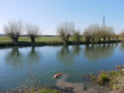
| After some fields, we drop down to the Worcester/Birmingham Canal |
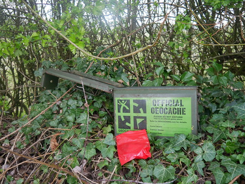 |
| Hunting for this type of thing - Red log book bags replacing jigsaws in last nights dreams |
 |
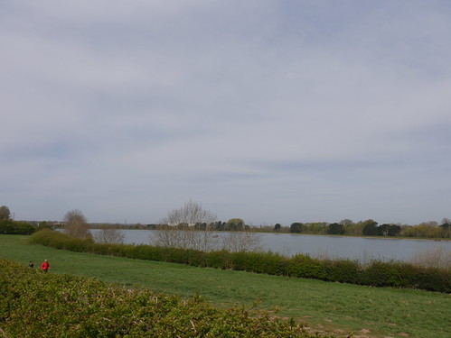
| A new approach to the Bittell Reservoirs |
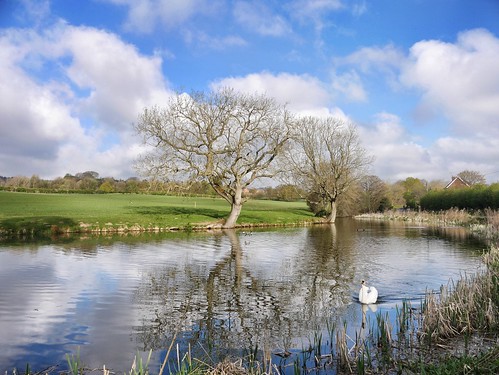 |
| Pretty Overspill Lake |
 |
| Bluebells are coming out - and maybe a cache location |
I make it back to the car 4.5 hours later but with plenty of time to avoid a family telling off.
As always, when solo caching, I don't get a clean sweep. Two eluded me - and I do wonder how the mini will look when the Geoart is displayed on my caching map. On logging, I can confirm I am missing the top part of my rear wheel :-)
Thanks so much to T A G for an interesting and well through out trail that must have taken a long time to devise and setup.
