Start - Sevenoaks
Finish - Oxted
Geocaches - 17
Pubs - 3 (all GBG ticks)
Previous Stages - Stage 1, Stage 2, Stage 3
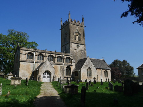
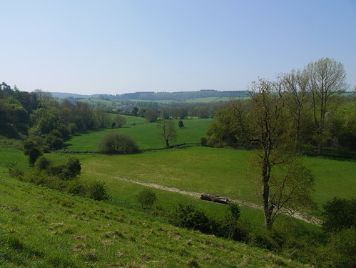
Stage 4 of the London Countryway and I make my first border crossing - from Kent into Surrey. The walk is getting into its stride now and although the terrain is quite similar today, the walking is superb.
It could be described as a walk of two halves.
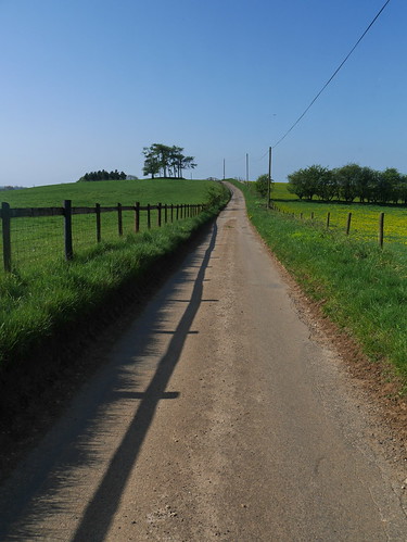
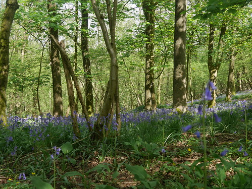
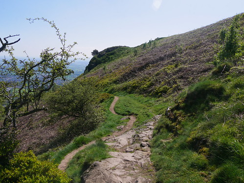
The first section sees me escape Sevenoaks through a series of alleyways and private roads to be delivered into Mill Bank Woodlands. Fine Forest rides and some perfect Geocaches to hunt for, not too difficult and high in volume.
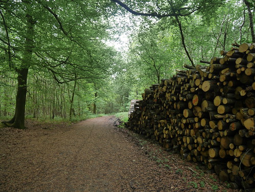 |
| Got some logging to do, but not this much |
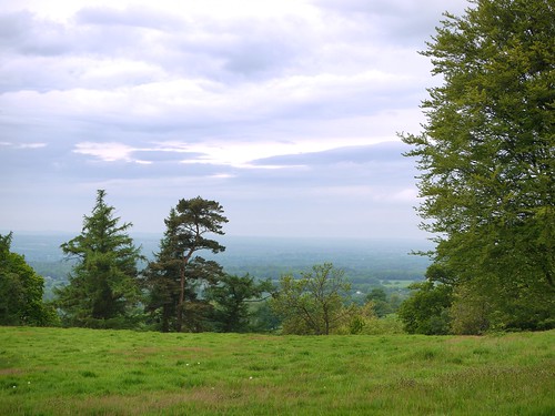 |
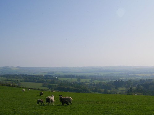
| First of he days views to South Downs Way |
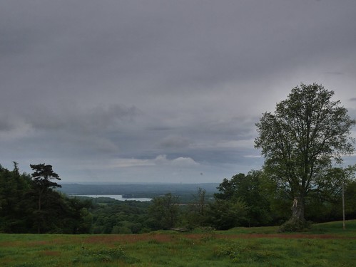 |
| Bough Beech Reservoir |
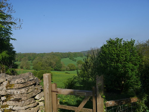
There's a myriad paths, that makes some routefinding difficult. As well as following the original guide to the LDN Countryway, I have a couple of blog resources available. Des De Moor stopped for lunch at this picnic table back in 2009. Its still there, even if I was lunchless.
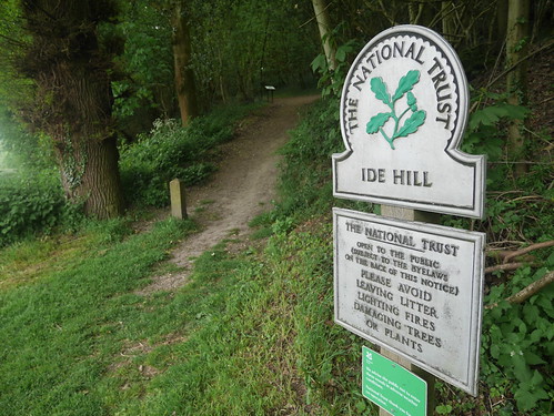 |
| National Trust Land, providing good paths |
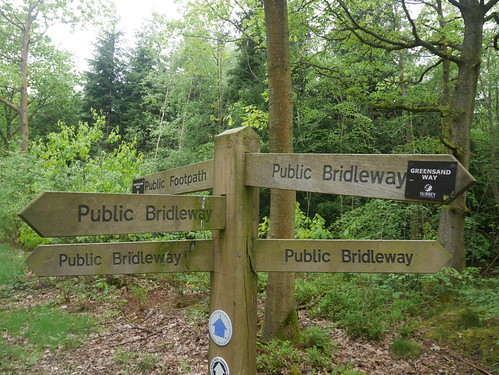 |
| Occasionally, too many paths |
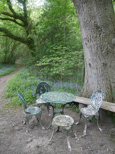 |
| Deep in the Woods Picnic Stopping Point |
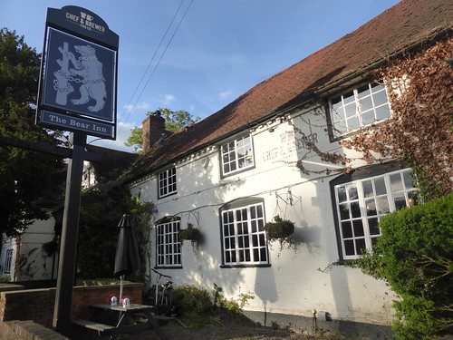
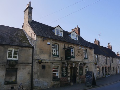
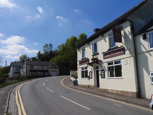
Pub wise, it's could be a marathon over the 14 miles. First met is Ide Hill's Cock Inn. Despite missing the opportunity to ask a bemused local how far the Cock Inn is, I decide to delay gratification. This is nothing to do with it being a Greene King, but the fact that time is precious.
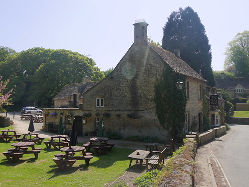
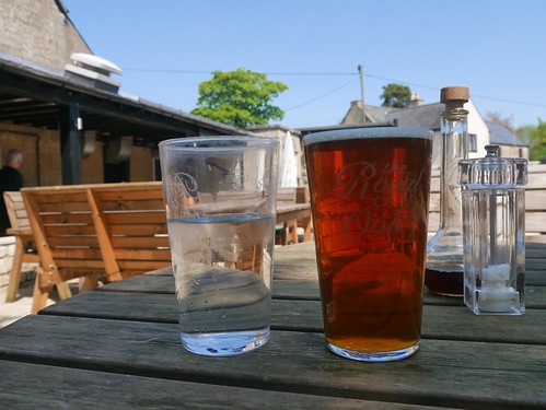
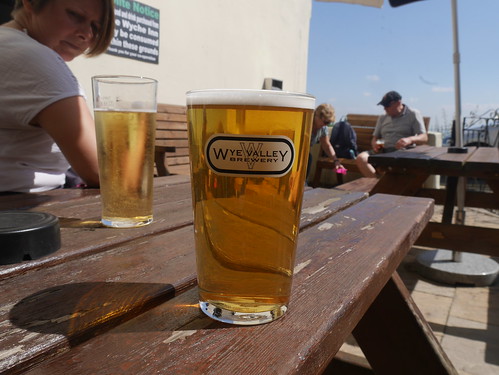
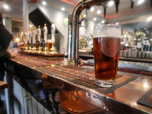
Running out of water means that I cannot ignore the Carpenters Arms at Limpsfield Chart. A gastro pub in the truest sense of the word, with an extension built on to squeeze in extra tables. Its also a Westerham Brewery house - not one I am aware off but LocALE from Kent. The 1965 was in superb condition and the staff called me Sir, even if I was in a damp raincoat. I was quite content. Even more content when I get home, check the bible and determine I've accidently gained another tick.
 |
| Gastro, Gastro, Gastro |
 |
| With decent Westerham Ales |
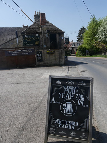
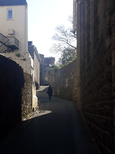
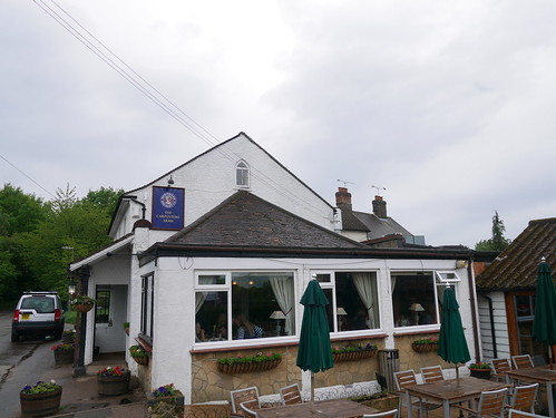
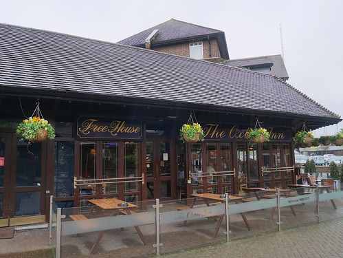
I forget to ask for a water refill, but there is nothing to fear. Old Oxted is about another hours walk and in a High street that can't be more than 150 metres long - there are four pubs. Old Bell is handsome, the George Inn looked closed down and the Wheatsheaf looked estate. I have taken a 1 mile detour to get a Good Beer Guide Tick at the Crown Inn.
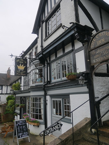 |
| Note the Entrance Sign - It's on the first floor |
Positioned strategically next to the Station is the Oxted Inn. It's appearance matches its near industrial estate address of Units 1-4, Hoskins Walk.
In a long list of crimes against landlord-ery that I won't bore you with here, the beer was terrible. My first request of an Oakham JHB died a third into pouring. The replacement Windsor and Eton Windsor Knott was hazy and lifeless.
There's a reason for this - in a packed pub of people, many of whom have obviously been here since 9am, I am the only person drinking a real ale. Everyone else is on lager, with the exception of one bar hanging dandy on the sauvignon blanc.
When I am king, I am banning JDW from future Good Beer Guides.
 |
| Mama told me not to come. Good Beer Guide insisted. |