Tick Lists

Thursday, 31 December 2015

31/12/15 - NYE-MW-31

Distance - 6.5 Miles
Geocaches - 17
Walk Inspiration - Stage 31 of the Millennium Way
Pub - Kings Head Cubbington, Doombar

2015 has been the best year for caching, so its rather fitting that the final walk of the year, the monthly leg on the Millennium Way, is cache laden.

This is one of those walks which is absolutely wonderful but has little to record.

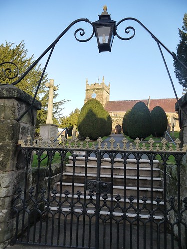
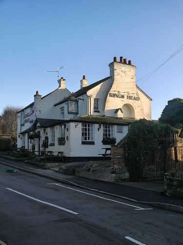
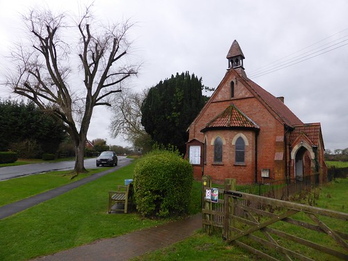
Start off in Cubbington, at the twin architectural items that every village needs - the church and the pub - sitting classically cheek by jowl.

Cubbington Church
St Mary's - Cubbington
Kings Head, Cubbington
Going to come in Handy Later

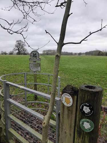
A suburban start to the walk, finding the Shakespeare's Way LDP, incongruously at this point, just an alley between houses.

Soon out into the fields, working my way through Glebe Farm.  The caches start at the Newbold Comyn Golf Course.  Cache 1 of the day a victim to Storm Frank and lying despondently on the floor.

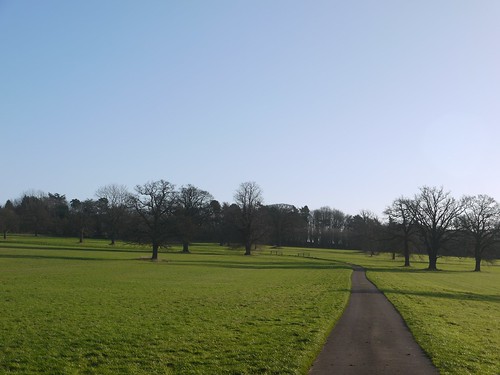
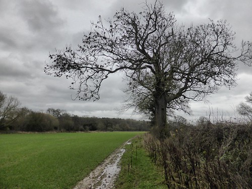
The golf course turns into the vast expanse of Offchurch Bury Park.  Some fine trees and a steady trickle of caches more or less all the way back to the start.

Offchurch Bury Park
Offchurch Bury Park
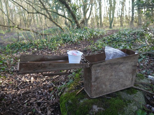
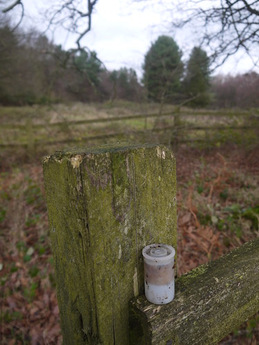
Cache of the day is next to a little hidden bridge over the River Leam.  Everything I like about caching - leading me to a place that you wouldn't give a second thought to and a classic container big enough for a TB that I found in Tintern two days ago.

Cache of the Day
Bye Bye Bucket TB
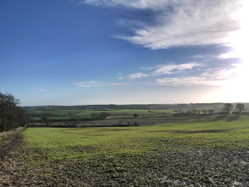
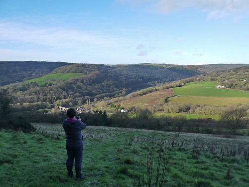
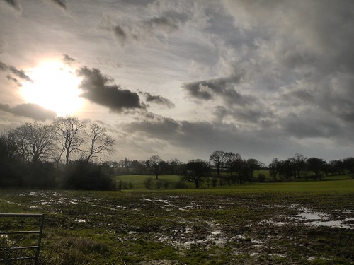
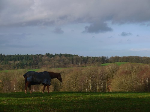
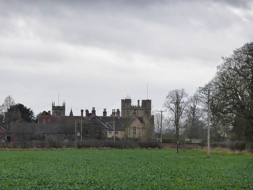
The final cache of the day is at South Cubbington Wood.  I stop and look behind me at the landscape I have been walking.

Sometimes you don't need words and you can let the picture do the talking.

Views
It's waiting for you to discover it
1:15pm and I am back entering civilisation.  De-gaiter and change from my Meindls into my Adidas 3 stripe to enter the pub.  I needn't have worried about changing - there is a sign on the door offering overshoe protectors for muddy booted walkers.

The Kings Head is an old school boozer.  Pretty busy, but it is New Years Eve - even if the bells aren't chiming for another 11 hours.  Four real ales on.  I make a mistake and shun the local brew for an omnipresent Doom Bar.

I feel a new year's resolution coming on.  Try more local brews when out walking.

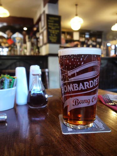
Doombar - in a Liars Cup
Served in a Liar's Cup
A fitting end to 2015, which has been probably the finest year for both walking and geocaching.

The bar has been set very high for 2016.

Happy New Year.

Tuesday, 29 December 2015

29/12/15 - The Devil's Walk

Distance - 6.66 Miles
Geocaches - 1
Walk From - One Hundred Hill Walks Around Birmingham, Walk 61

Time for the annual (11th year running) Christmas visit to the prime walking country that is found on the Welsh/English Border at Tintern.

Every walk has been unique - this time upstream on the English side of the River Wye to Brockweir before looping back to the Devil's Pulpit.  You have to say that I pushing the limits of inspiration when I find this route in a book called "100 Hill Routes around Birmingham".  We're a good 90 miles from there.

And how's this for uncanny.  I check the GPX of the route when I get home.  The distance is 6.66 miles.  The altitude on the route where I checked the distance is 666 ft.

I've got a shiver running down my spine as I blog.

Park up at the £3, get your money back when you buy a drink at the pub, Anchor Car Park.

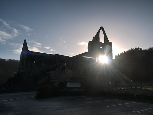
Take the same dawn-ish photo that I have taken for the last 11 years.

Tintern Abbey AM
Never get bored 
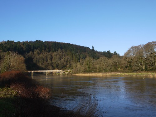
A quick dash through the village and over the increasingly rickety old railway bridge to head north, upstream on the English side of the Wye.

Old Rail Bridge
The Rickety Old Railway Bridge - Don't Look Down
As is often the case, I have been a touch concerned about both flooding and mud.  In reality, we have nothing to worry about from either as we head out on fantastic paths to Brockweir.  Pick up Offa's Dyke path for the first time of the day.

Offa's Dyke Path
Offa's Dyke Path
It's all uphill, as we climb to Beeches Farm, making friends with a family group of all ages for the first time on the walk.  Great views to catch our breath.

Everyone taking Photos
Everyone wants a Photo
Friendly Ramblers
Our new Rambling Family Friends


Once through Beeches Farm, the path turns into the wonderfully named Miss Grace's Lane.  This is the first time in my 11 years that I have been along this stretch and I am rewarded with the only unfound cache of the day.

Miss Grace's Lane
That's Sonia - Not Miss Grace
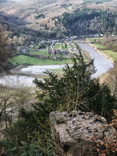
At Tidenham Chase, we enter the woods - back on Offa's Dyke Path.  Wonderful walking, all the way around to the highlight of the walk - The Devil's Pulpit.

Everything is in order - the stone tree, The timeless views, the Geocache - that I complete a TB swap over at and then have to explain Geocaching to our friendly family who re-appeared from a short cut.

The Devil's Pulpit
Hey Monks Below  - Renounce Christ and Follow Satan.  
Once photos taken and youngster's watched who have the tenacity to climb the pulpit, we head back down to the Abbey and naturally, the pub.  This is the only part of the walk where the mud presents a problem - a steep descent on rocky/muddy paths.  Still, all the required motivation is awaiting.

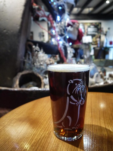
Otter Claus at the Anchor
Otter Claus - Festive Pint
We will be back in 2016.  Thinking Chepstow.


Sunday, 27 December 2015

27/12/15 - Two Churches

Distance - 5.5 Miles
Geocaches - 3
Walk Inspiration - Country Walking Magazine, October 2014, Walk 8
Pub - Acton Arms, Ringwood Forty Niner

I'm not sure that we have had a more surprising start to a walk.

With only three hours of daylight before the anticipated rains came in, I looked for a walk both short in length and local.  Country Walking Magazine, as so often has been the case, provided suitable inspiration.  The walk was plotted, the Geocaches loaded and the co-ordinates to the suggested parking area banged into the car's sat nav.

I wasn't expecting this.
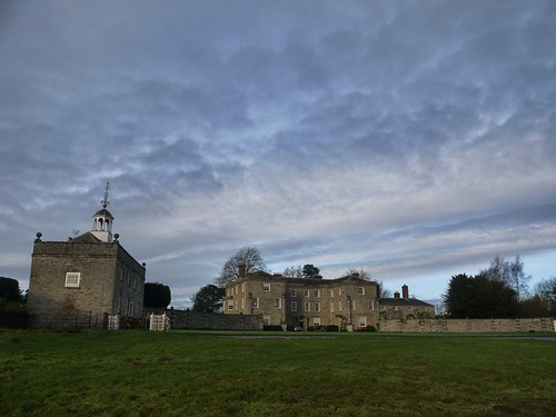
Morville Hall
Car Park like no other
As we approached from the main road, Sonia asked if we were pulling into someone's drive.  I replied that we should be parking at a Church.  Sonia asked if it was someone's private church.

This is Morville Manor - the first of our Elizabeth architecture treasures seen today and true enough, on the banks of Mor Brook, is the anticipated Church.

Morville Church
Staring at the Sun - into Morville Church
We were never going to get away with this walk clean.  The pathway underfoot is best described as Terra Infirma.  We have come partly prepared for the pub later.  We both have gaiters but only I have the foresight to bring spare drinking shoes.  Sonia promises to visit the pub by performing an impression of Sandie Shaw.
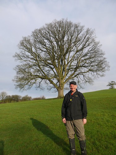
Down by Mor Brook
One of the few places sans mud
Mor Brook delivers us to the Lye and a stiff climb up a little used lane to Meadowley.  First cache of the day offers fine views of the Black Country.

We find the correct path from the Jack Mytton way to be met in a waterlogged field by dog walkers with at least half a dozen hounds.  Some of them bark at us.  All of them charge at us.  The greyhound cross is a jumper that likes ladies.

Sonia now has her top half matching her bottom half, with two great long muddy paw prints running down the length of her soft shell jacket.  Forget barefooted sixties chanteuses, if this continues, I will be taking Lady Godiva to the boozer.

At least the views make up for things.  Country Walking must agree as the route card in the magazine is accompanied by an almost identical photo to this.
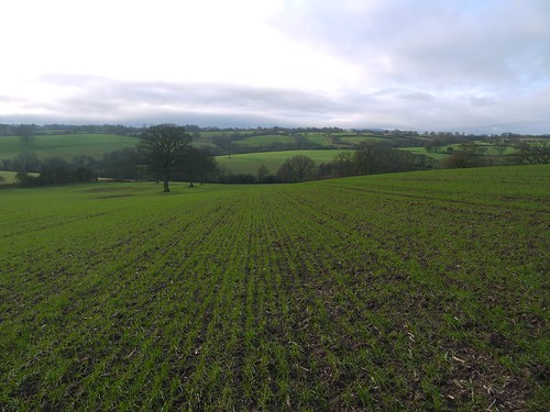
Dropping down by Meadowley
Shropshire in its finery
The OS Map is littered with that strange script they use to denote items of historical interest.  In this case, the site of a medieval village.  We move on a couple of centuries to be met with our next item of architectural interest and are met at Upton Cressett by a view that can't have changed too much since the Armada.
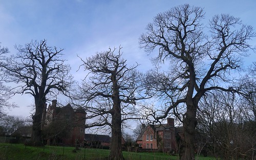
First glimpse of Upton Cresset
First glimpse of the Elizabethan Upton Cressett Manor House
There's another tiny church to explore and a Geocache to hunt.
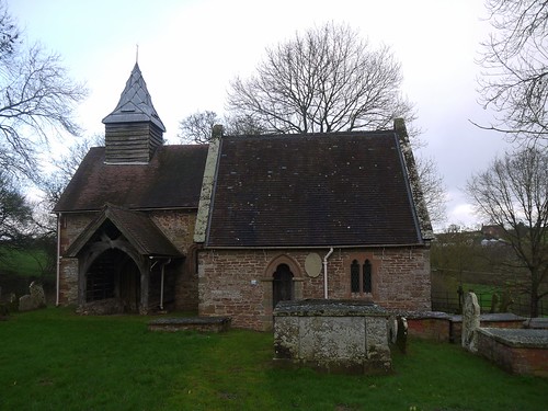
Upton Cresset Church
Upton Cressett Church
The weather starts to close in and the heavy going has made the walk feel a lot longer than its 5 miles.  I consult the map and see a footpath that can save us a mile but misses another architectural gem at Aston Eyre.

I ask Sonia whether she wants to take it.  To be fair, she asks what will be missed.  When I say an isolated rural church linked to a manor house, she reminds me that we have seen a couple of those already.

No doubt the original plan would have been followed if I had answered with a Tea Shop.

We make the correct decision, the clouds drop, leaving things misty and the promised rains imminent.  If it was any more slippery underfoot, we would never have made the treacherous descent Aston Hall.

Rarely have the red lines on the map been so close together in so much mud.
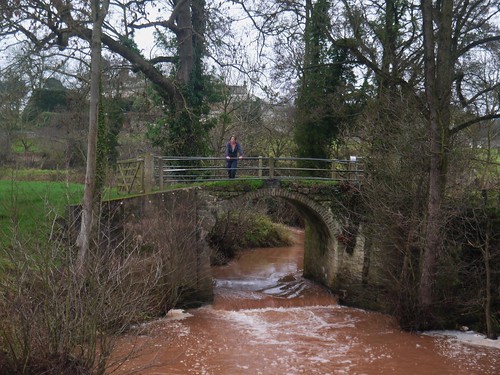
Back at Morville
Relieved to make it down safely and back to Morville Church
De-Gaiter and investigate the Acton Arms pub over the road.  Lovely people, they adapted the menu from a Sunday Roast to a Chicken Sandwich.  Its the 3rd day of Xmas and we just couldn't face another huge meal.
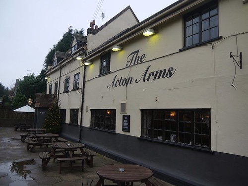
Acton Arms
Acton Arms, Morville
Ringwood 49er
Still, Room for a Ringwood Forty Niner


Saturday, 26 December 2015

26/12/15 - Five Caches Left

Distance - 7 Miles
Geocaches - 11
Walk Inspiration - Jarrold Heart of England - Walk 9

>
Jarrold Walking guides rarely disappoint.  Book 14 covers my neck of the woods, The Heart of England, and I have just a handful of the 28 walks contained within to finish.

This walk, from Tanworth-in-Arden, has been on the radar for a long, long time.  Today, it is undertaken with a view to both getting some fresh air and hitting my 2015 target of 1000 caches.

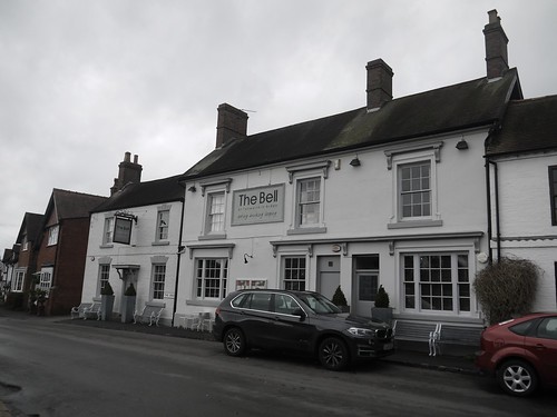
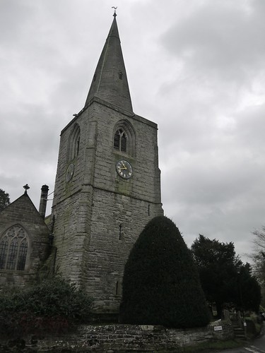
I've walked from here a couple of times, most recently on a quest to find the grave and home of Nick Drake - the 1970s musician.  This route starts at the church in the centre of the village, rather handily at the handsome looking pub.

The Bell, Tanworth in Arden
Ding Dong Merrily on High
St Mary Magdalene
The Church Tower

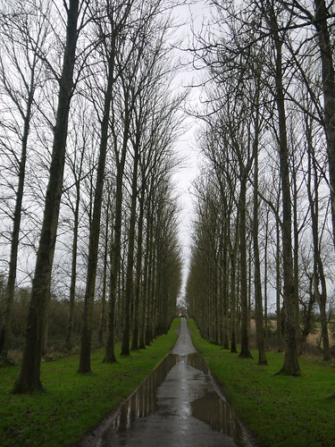
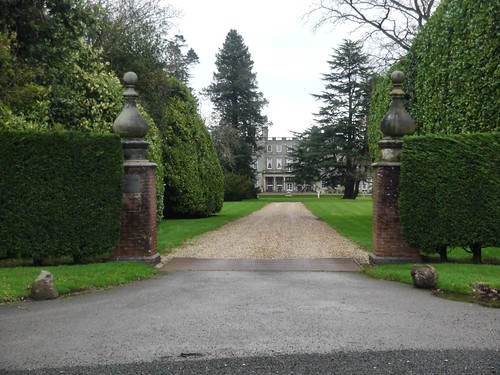
The walk gets off to a fine start.  I am sharing an arrow straight, tree lined drive with a number of dog walkers and their festively adorned hounds.  This is the drive to Umberslade Hall, the 1700 house of a former member of parliament.

Tree Lined Avenue
Tree Lined and Paved
Umberslade Hall
Leads to Umberslade Hall

First couple of caches of the day are collected along this stretch before I kiss the concrete goodbye and head into the saturated countryside.  I get in a bit of a mess today.

Countryside
Into the Quagmire

Over the railway line at Danzey Station and into Mockley Wood.  Walking through the trees adds another touch of variety into what is turning out to be a very decent ramble.

At the top of the hill is the 1000th Cache.  With 5 days of the year left, I have hit my target.

Cache 1000
Cache 1000
The caches come thick and fast, as I pick up a series called Ugly Bugs.  These are micro caches with a twist and all attached to rather big plastic bugs.  They blend in to their various hidey holes rather well.

Past Mockley Manor, a trudge through the worst of the mud and along Forde Hall Lane to be welcomed on my return to the village by a wonderfully bucolic view of the Church.

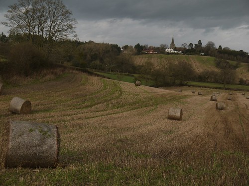
Hay Bales
View of the Day
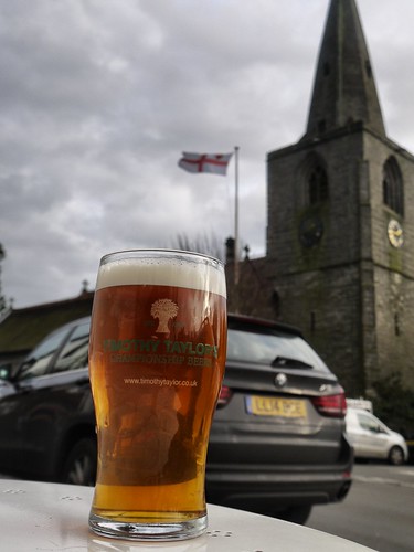
A superb walk and a reward is in order for hitting a target.  It was an unexpected surprise to meet Timothy Taylor again.

Timothy Taylor Landlord
A rather fine example

Tuesday, 22 December 2015

22/12/15 - Solstice Caching

Distance - 3 Miles
Geocaches - 12
First Cache

Only 8 hours of daylight today, but good news - moving forwards, the days increase in length. An 11 cache round in less than 3 miles from a Doomsday Book mentioned village with two pubs sounds just about perfect for my needs.

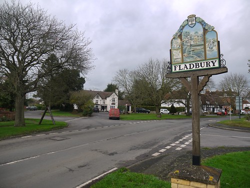
Park up in the centre of Fladbury.

Fladbury
Where are we?

A narrow lane dissects the two pubs.  I have the caching round to decide which one will be deserving of my custom.  The previously visited Chequers or the slightly shabbier looking Anchor.

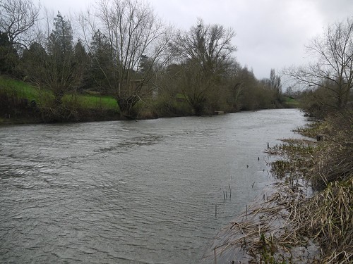
The lane takes me down to the River Avon and the permissive path that is unmarked on the OS map.  6 caches, 2 which will be rewarded with a Fav and a TB drop off.

River Avon
The River Avon
Walking is muddy underfoot, so I slop my way to the Jubilee Bridge by following the U-Shaped bend in the River.  There's a cache on the opposite side that I have been previously unable to get due to flooding.  A bonus smiley to the round.

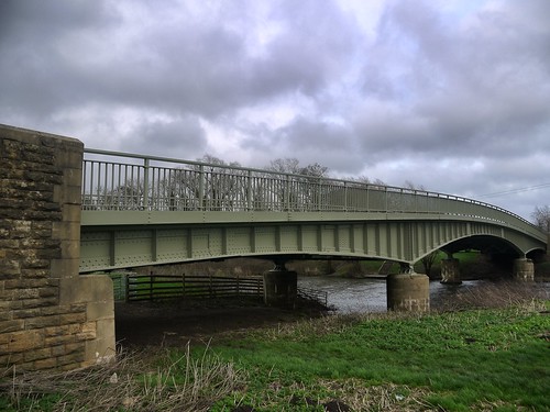
Jubilee Bridge
The Jubilee Bridge - Opposite GZ.
The field adjacent to the road back to the village is open to walkers, courtesy of the owners of Fladbury Mill.  Cache 11, the last of the day, proves to be the elusive one.  I walked that many times around the willow tree that a) I got dizzy and b) its a wonder that a resident did not call the police.

To make up for the fail, there is a last smiley to be grabbed at a gap that leads to the mill above the weir.

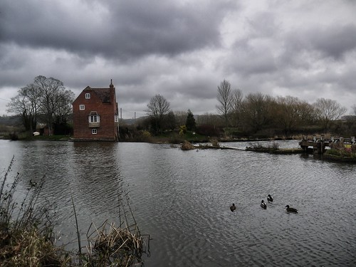
Fladbury Mill
Fladbury Mill
So decision time.  The Anchor has better on-line reviews but I remember that the Chequers has Timothy Taylor.

But its not the Landlord that I know so well.  Its Timothy Taylor Golden Best.  A rare find in Worcestershire.

I'll have to return for another crack at #11.

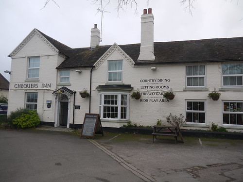
The Chequers
The Chequers
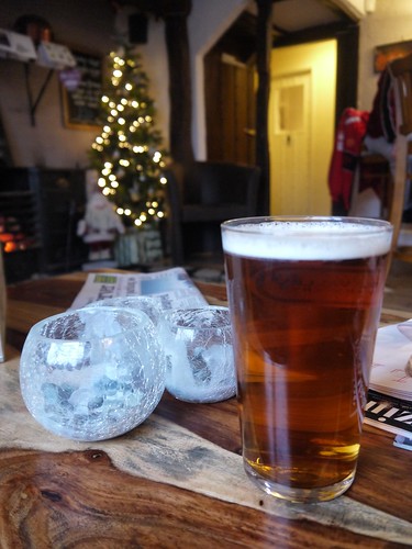
Timothy Taylor Golden Best
A Festive TT Golden Best

Sunday, 20 December 2015

20/12/15 - The Dodford Doddle

Distance - 5 Miles
Walk Inspiration
Caches - 1


For the first time in weeks, the sun is shining on a weekend.  That's right - no storms, rain or wind - just glorious blue skies.  Despite an incredibly busy weekend, a walk just had to be squeezed in.

Look up a suitable route on a much neglected walking resource - www.walkingworld.com.  A short drive to a car park that I have used before.

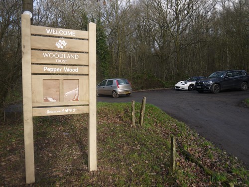
Parking
Pepper Wood Parking
Over the road and out onto the Monarch's Way to the wonderfully name Royal Content Farm.  There's a ton of history in these parts.  The Monarch's Way is the route of Charles II escape following the battle of Worcester.  The whole area is part of the former Royal hunting ground of Feckenham Forest.  Dodford itself is a purpose created village by a group known at the Chartists in the 1850s.  The OS map shows how the land was uniformly divided into lots to all the Chartists to be self sufficient in food production.

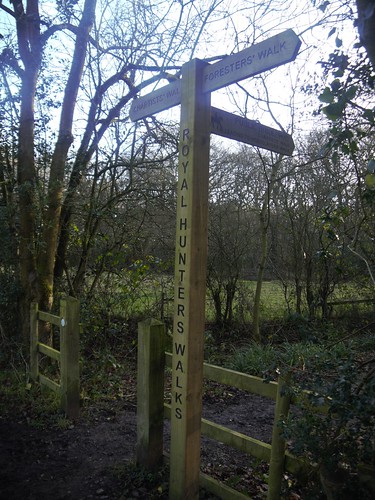
This history provides inspiration for a number of themed walks in the area, collectively known as the Royal Hunters Walks.

Three Ways
Which meet here.
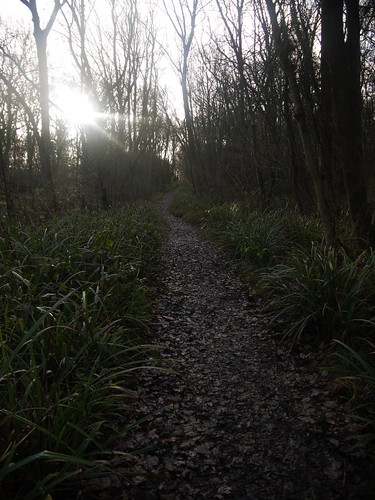
The recent bad weather has left the paths as a muddy quagmire in several places but occasionally, things improve underfoot for some decent walking.

Best of the Paths
The best the walking gets
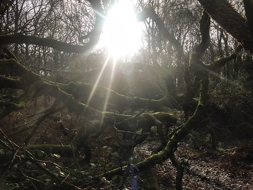
Jurassic Park
With the occasional obstacle

Familiar paths from previous geocaching excursions.  Upset the dogs at High Wood Cottage, which is now finished.  An impressive building in the middle of the woods, miles from anywhere.  It must be well spooky at night.

Wildlife
Wildlife near High Wood Cottage
Just the one unfound cache in the woods which gets be ever so slowly closer to the 2015 target of 1000 caches.

Rather pleased to reach the lanes at Woodcote Green.  Nice to get a bit of solidity underfoot and I am made an offer that is difficult to refuse.

Offer that cannot be refused
Xmas Sorted
A decent local and quick walk made just before it starts raining again in the afternoon.

El Nino, we have had enough now.

Sunday, 13 December 2015

12/12/15 - On Target

Geocaches - 21
First Cache
Distance - 5 Miles
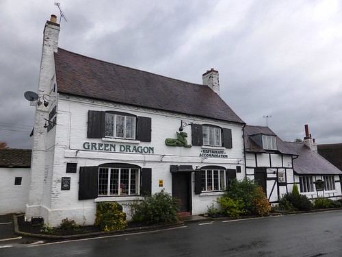
Pub - Green Dragon, Sambourne, Hobsons

The aim of 2015 was to reach 1000 caches.  3 weeks to go in the year, I am stuck on 955 - gainling a princely total of 2 in the month of December.  Something had to change today.

A good look at the geocaching.com map and I find a load of undiscovered caches near Alcester.  Rather fitting that the trail I pick has been placed by Hkmhill.  He is both responsible for my highest amount of finds and for laying three of the best trails completed this year.

He's even arranged the start of this walk to be next to the Pub.

Sambourne Church and Start of the Trail
Start - Next to the Church
Jolly Green Dragon
With handy refreshments promised at the Jolly Green Dragon

Initial job of the day is collect the first of the bonus clues that should provide the co-ords to a mystery.  Well, strictly speaking, I cheated by having a look on Google Maps last night.  Still, always good to check.

Head out into the countryside and start with the trail proper.  As usual, #1 presents a challenge.  Plenty of options, but I don't want to start on a DNF.

Into my rhythm and everything goes fine.  Its typical Warwickshire countryside - decent paths and surprisingly, not too muddy, when you consider that we have had weekly storms so far this Winter.

Terrain
Typical Warwickshire Terrain
I join a growing list of DNF on number 5 and cross over the road at Coughton Court for a long distance path that I recognise.

I am walking the Millennium Way and the trail takes me back on a section.  The caches must have been laid after I completed this leg, otherwise they would have been previously found.

Coughton Court
Path Recognition
Coughton Court
Coughton Court from a Cache GZ

Leave the Millennium Way and head through a tree plantation and fields to get back to Sambourne.  No more DNFs and all the clues for the bonus collected.

Moment of truth, as the mark is entered into my GPS.  Looks good, as its on a footpath and as per the cache instruction, I choose the Indiana Jones route to GZ.

Everyone likes a bonus
Everyone loves a bonus.  Specially when its an Ammo Can.
If my maths is correct, I am now on 976.  That's got to be worth celebrating.

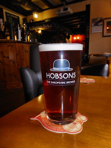
Top Quality Pint
Possibly the best pint of the Year - Hobsons Best

Thanks for another super Trail, Mike.