Geocaches - All previously found
Walk Inspiration - Country Walking Magazine
Pub - The Kings Arms, Cleobury Mortimer - Hobsons Old Prickly
Having knocked off it's slightly smaller twin Titterstone, its time for Brown Clee Hill and the opportunity to become the highest people in Shropshire.
There are no new Geocaches since my last visit in 2011, so this a walk purely for walking sake - a chance for fresh air, far reaching views and hopefully, a post walk pint.
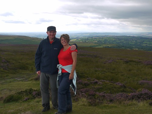
Sonia's has not been in the best of training. She's spent the last week lounging around on sunbeds in Portugal, leaving me in charge of towel rotation and the mysteries of the washing machine. Her lack of conditioning shows, as I make it to the top first, whilst I hear cries of "Wait for me". It's unusual, she usually leaves me in her wake.
Our route takes us to the highest part first, Abdon Burf. Ruined quarry buildings provide a decent shelter for the sheep.
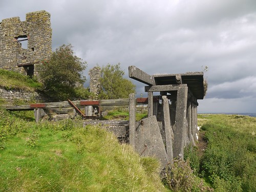 |
| Abandoned Quarry Works - Home for Sheep |
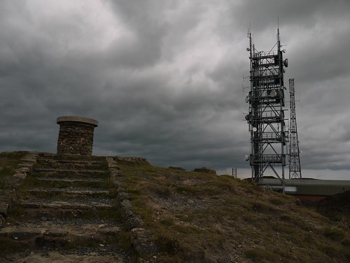 |
| Toposcope and Air Traffic Control Tower |
As you would expect from the highest point in Shropshire, the views are superb. The Malvern Hills, Birmingham and most of Mid Wales stretch out before us.
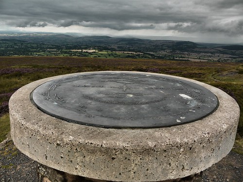 |
| Items of Interest |
 |
| Camera on the Toposcope |
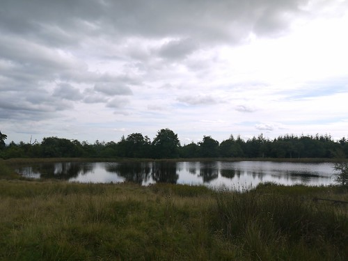 |
| Boyne Water |
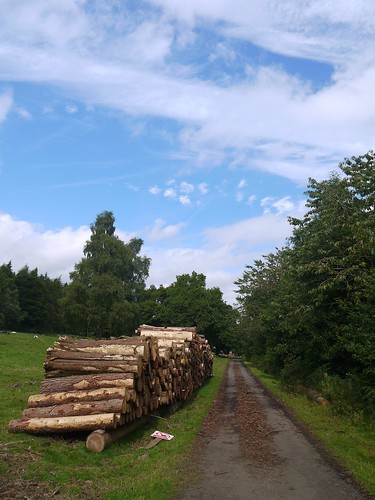 |
| Road North Home |
Choice of post walk pub is limited. We could have stopped at the Fighting Cocks in Stottesdon, but Sonia claimed that one good sneeze would bring the ramshackle building down to the ground.
So we head for Cleobury Mortimer, knowing that there are a choice of options. Having used the Kings Arms after my last Cleobury Walk, I aim to try an alternative.
Walk into the Bell. An overpowering smell of beer is also met with the bad news that they don't do food. The landlord confirms that the Red Lion over the road also doesn't do food. I have suspicions that this could have been a marketing trick to avoid losing potential punters.
So up into town, where the handsome looking Fountain Inn is closed. All may not be lost, as there is a "Sold" Sign on the outside. As long as it's not to Tesco Express.
Back to the Kings Arms it is.
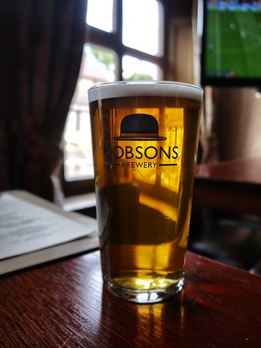 |
| No hardship - get to try Hobsons Old Prickly |
No comments:
Post a Comment