Tick Lists

Saturday, 18 July 2015

18/07/15 - Bredon Hill, By Eck!

Distance - 8.14 Miles
Geocaches - 2
Walk from - Julie Royle's Worcestershire Walks
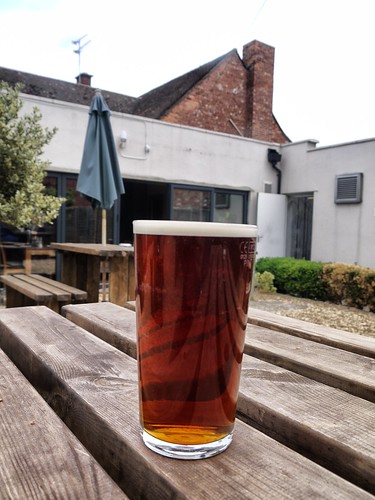
Pub and Pint - Thwaites Lancaster Bomber at the Bell, Eckington


Some argue that the best walking in Worcestershire is found on the Malvern Hills.  They are wrong. The finest walking is on Bredon Hill, where the views are even finer - mainly because the Malvern Hills are in them.

And its not as steep.  Which is another bonus.

I start my ascent from a Eckington - a previously unvisited Worcestershire village.  I like it already as google maps revealed it has two pubs.  One of which, the Bell, I make my starting point.

Or should I say finishing point.

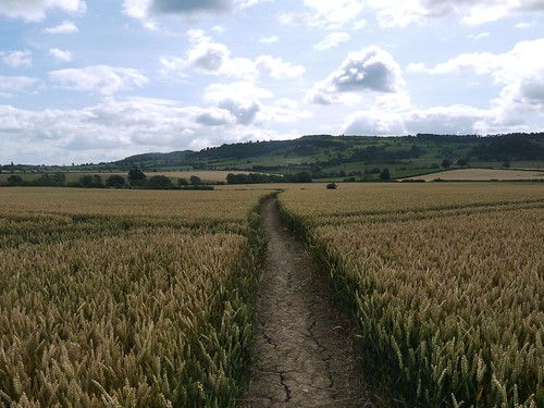
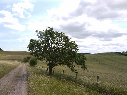
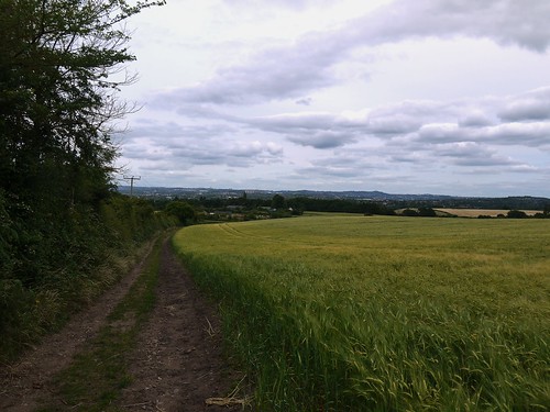
Head off through the Churchyard and pick up countryside for one of my favourite types of path - a clear avenue through a wheat field.

Approach to Bredon
Eyes on the Prize - Bredon Hill Ahead
The ascent - like every ascent I have completed on Bredon - is easy.  There is one super steep way onto Bredon, but I only ever choose to go down that way - more on this later.

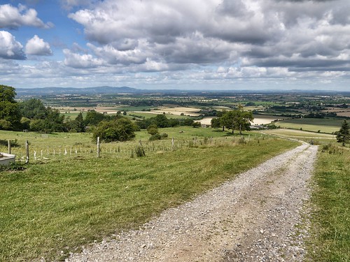
This route takes me through a deer park and past Wollas Farm, gently gaining height and taking advantage of a strategically placed bench to take photos.

Halfway Point
Half Way Point of the Ascent
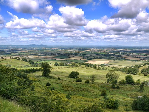
In next to no time, I am emerging out the woodland for the classic vista from the Banbury Stone Viewpoint.

Bredon Hills Views
My Favourite View in Worcestershire
There's an opportunity to get a previous DNF cache on the top.  I was the first of several to record a failure a couple of years ago, when two of us attacked (or were attacked by) a particularly spiky hawthorne tree.  The cache has been replaced, so its nice to complete all the smileys available in this area.

A walk across the ramparts to find the "mountaineer's path" for my way down off the hill.

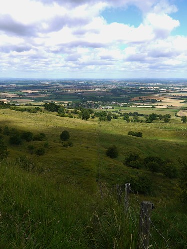
I'm not sure the picture does justice to the steepness.

Steepest Path on Bredon
Steep Way Down
When the ground levels our, I meet a couple of elderly ramblers who are making their way up.  With a certain degree of schadenfreude, I ask them if they are going to the top and if they have walked this way before.  They are and they haven't.

I can only warn them of what they are up against but they seem game enough.

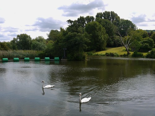
Onwards I go, passing through Great Comberton and picking up a delightful path (part of the Shakespeare's Way) that takes me down to the River Avon.

Nafford Weir, another unvisited place, offers the chance to get across the Avon and the 2nd cache of the day.

Nafford Weir
Nafford Weir on the River Avon
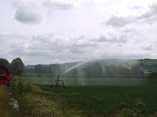
Just a bit of countryside to go before I reach the end of the walk.  I have some fun timing my passing of a agricultural watering device that gives a short window of opportunity to get past without getting a total soaking.

Dodging Machinery
Dodging a Soaking

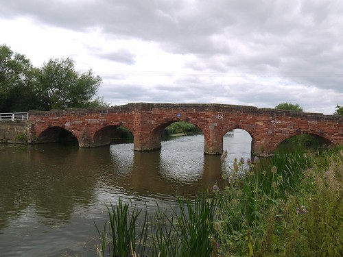
Eckington Bridge, a listed "ancient monument", is used to cross back over the Avon and then some road walking back into the village.

Eckington Bridge
Eckington Bridge c1720
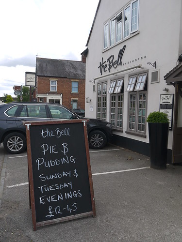
So, just the Bell to check out.  Upmarket gastro pub with a lovely patio area - complete with a sign "No matter how tempting it seems, please do not dig or throw the stones".

I had no intention of doing either until I read the sign.

The Bell, Eckington
Quite pleased with my parking there
Thwaites Lancaster Bomber
Lancaster Bomber

Bredon Hill remains my favourite place to walk in Worcestershire and once again, I have found a new route up it.

Saturday, 11 July 2015

11/07/15 - The Black Country's Best

Distance - 4 Miles
Geocaches - 1.  Out of 7.
Walk Inspiration - Best Pub Walks in the Black Country - Walk 20

Sometimes, it's unnecessary to travel huge distances to find a great walk.  I was time limited today, and needed a local walk with the chance of a decent pint for a reward.  My "Pub Walks in the Black Country" book certainly acted as a guide for the pint but I really didn't expect such super countryside.

From Stourbridge.

Park up at where Greyhound Lane meets the Broadway and head along a lane before turning right at Stourbridge Tennis Club.

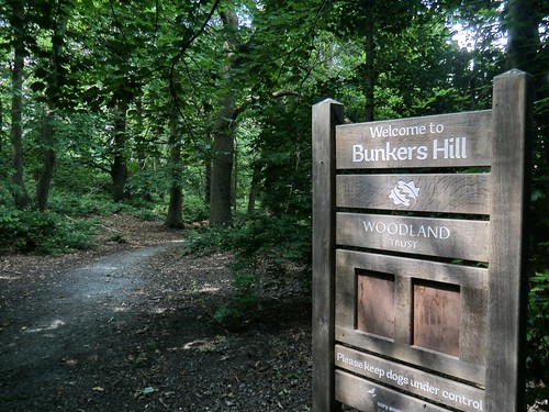
With the whack of tennis balls ringing in my ears, I climb a sandy bank into Bunkers Hill.  Managed by the Woodland Trust, it offers great paths in the shade.

Bunkers Hill
Fine Walking in Bunkers Hill

There a number of tough geocaches in the area, either involving anagram solving, tree climbing or outwitting a very devious cache owner.  I'm not really feeling the love for treasure hunting today and decide to concentrate on the walking.

Leave the woods via a couple of fields and emerge at Whittington Hall Lane, where I pick up a great path running south easterly past Turbine Cottage.

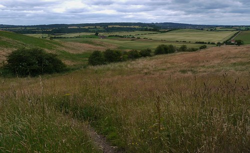
Some surprisingly rural views for the Black Country,

Whittington
Path to Turbine Cottage
Turbine Cottage
Looking Back from Turbine Cottage
I actually make a cache find on Sugar Loaf Lane and walk past the transmitter to Norton Covert.

Stourbridge
Stourbridge Ahead
That's the four mile walk done and no time for my reward.  The pub is a short distance away, requiring the navigation of the Stourbridge Ring Road - possibly the worst road system this side of Birmingham City Centre.

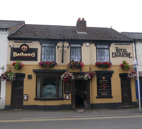
But its worth it, as I am revisiting a Bathams Pub.  The Royal Exchange is a traditional back street boozer that offers much more than its unassuming exterior indicates.

Royal Exchange
Another Walk from a Bathams Pub Ticked off.
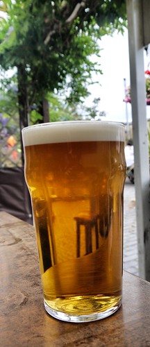
The alleyway leads to a rather nice courtyard, popular with cyclists.  But the real joy is the Bathams.  Best pint in the Midlands and here, a bargain £2.60.

Bathams
40p Change from £3 to blow on Scratchings

Sunday, 5 July 2015

05/07/15 - The Short Way from Tipperary

Distance - 6 Miles
Geocaches - 3 Found, 1xDNF
Walk Inspiration
Pub - The Tipperary
Pint - Timothy Taylor Landlord


The monthly trip on the Millennium Way presents options.  We can go for a nine miler or a more sedate 6 miler.  Having the company of Mrs Mappiman means there was only ever one winner.

The short way from the Tipperary Pub it is.

Park up and head down a selection of curious paths that seem to run straight past the front door of a number of properties.   Signage is good, so there is no repeat of shouty residents that I have had on previous legs.

Walking gets more interesting as we enter Black Hill Wood.  Dense woodlands with ominous signs saying "Shooting in Progress - Don't Leave the Path".

Black Hill Wood
Keep to the path
First geocache of the day as we leave the woods and a TB recovered to move on.

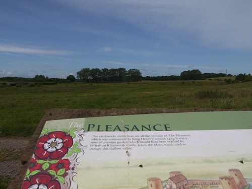
After following field edges, I look for inspiration.  The OS map shows "The Pleasance" written in ancient text but at ground level, there's nothing to suggest anything more than the bigging up of some rather unremarkable countryside.

All is revealed as we reach an information board near the GZ of my 1 DNF cache.  The Pleasance was a banqueting house built in 1414 by Henry V.  Closer inspection of the land reveals the earthworks that were the moat that surrounded it.  All was good here until Henry VIII, in an early attempt at recycling, had it demolished for materials to be used inside Kenilworth Castle.

That's why I love Britain.  A seemingly dull field just dripping in history.

The Pleasance
Pleasance Earthworks
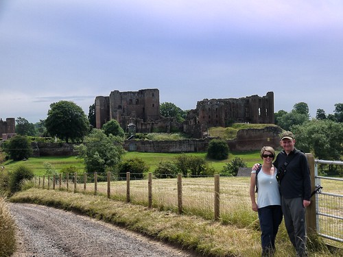
There is an architectural highlight that is still standing on this walk, Kenilworth Castle.  It looms over the countryside as we make our way past High House Farm.  The next leg of the MW takes me even closer to the ruins.

Kenilworth Castle
Looking forward to coming back to the MW next month
This is the turning back point of the walk and we have a series of crop fields to navigate to get us back for refreshments.  It's all pleasant enough but I'm not sure there is enough of interest to keep my walking partner amused.

As the sun has popped out, she is happy enough but things conspire to further improve her mood.

Crops
Sun Out, Striding on
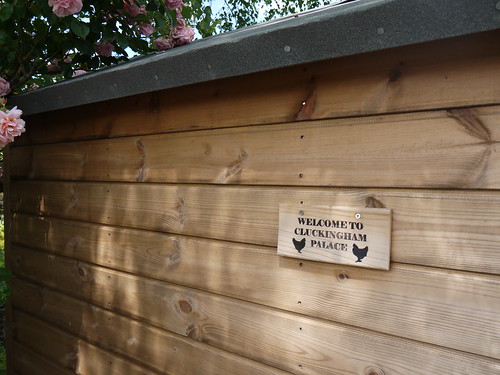
We've often walked past people selling eggs in honesty boxes on our rambles but usually mid way through a walk or when we have no change with us.  At the end of the walk, we meet some chickens who have a rather splendid home.

Eggs
6 Eggs for a Shiny Golden Nugget.  I can guess what breakfast is tomorrow.
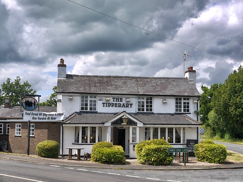
Over the road from the ad-hoc chicken emporium is the Tipperary Pub.  Believe it or not, this pub was owned by the parents of the person who wrote "Its a long way to Tipperary", Harry Williams.

We're up for a snack and delighted when they are doing sandwiches on a Sunday lunchtime.  So often, we hit a pub that only does full roasts on a Sunday.

And to top it all, they only sell my favourite ale.

History.  6 Eggs.  Roast Beef sandwiches all round and a pint of Timothy Taylor Landlord.

What a lovely day.

The Tipperary
Named after the 1912 marching song, who's composer lived here.
TT Landlord
Liquid Perfection.  And Eggs.


Saturday, 4 July 2015

03/07/15 - The Modest Student

Distance - 13 Miles
Geocaches - 24
Walk Inspiration - Time Out Country Walks

When I come to review "Walks in 2015", there is no doubt which will be the winner in flattest walk.  The closest I got to a hill was crossing the M11 on a footbridge and the highest altitude reached, 25m above sea level.  We are one superstorm away from this walk being an impossibility.

My son is 17 and attending a number of university open days.  Having looked at a couple, he has told everyone that today, he is off to Guildford for the University of Surrey.  Eagle eyed viewers will have noticed the map does not say Surrey.  In reality, he is off to Cambridge but he doesn't want his friends to take the pee out of him and call him "La Di Da Mappiman (Jnr)".

His intelligence and work ethic (rarely seen in a teenager) are only matched by his modesty.

After dropping him and his Mother, foot weary veteran of three open days this month, off in the centre, I head out for a linear walk from what is fast becoming my favourite walking guide - the Time Out book of Country Walks within easy reach of London.

Rather than pay £9 to park at Cambridge station, I drive to Great Shelford and park in the street buckshee.  Head off along roads through a series of interconnected, pretty little villages - grabbing a few church micros from under the noses of unknowing muggles.
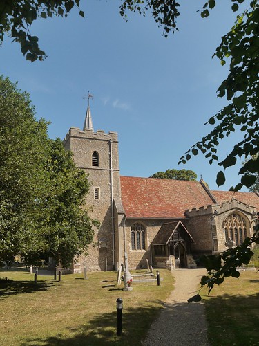
P1070792
Great Shelford leads to 
P1070793
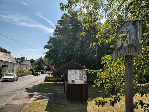
Hauxton, Via Little Shelford
P1070795
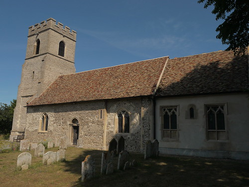
And Hauxton Church

Finally into the countryside after I cross the A10.  Here, I pick up a cache trail.  There are some monster cache trails in the area and I had a decision when I set off.  Should I go for the smileys, or the chance of a classic walk.  The Classic Walk won out.  I like my walks to also have a sense of achievement and history, as well as sticking my heads into bushes every 161m.
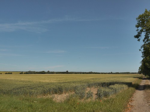
P1070796
Leaving the Lanes Behind
The footpath brings to the River Cam, which I will be following back to Cambridge later in the day.
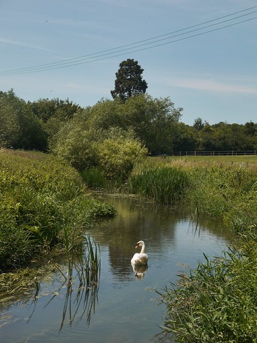
P1070798
River Cam
Haslingfield is my next village and the start of another cache trail.  I find a few, but to be honest, I am more interested in the walking.
P1070799
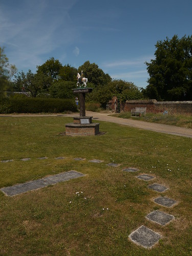
Haslingfield - Sundial and Village Sign
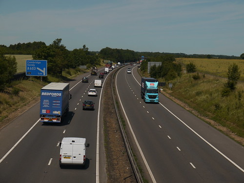
Haslingfield is a pretty little place, but I've heard that Grantchester is even nicer.  With hardly a contour on the map to distract my navigation, I plod on through farm land and only the M11 to force me into digging out the Crampons.


P1070803
Dizzying Heights
Grantchester does indeed live up to its reputation, but I peak to early at one of the three pubs that are within spitting distance.  I liked the look of the balcony at the Rupert Brooke, but on entering and noticing that every table has wine glasses and napkins, that this is more of a restaurant.

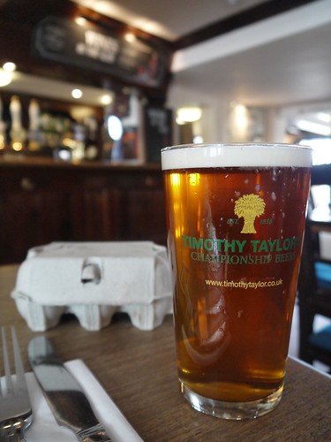
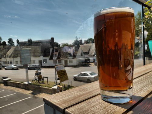
Is this is place for a man who is wearing his Rohan Montgomery with the sunshield flaps down?  Well they don't seem to mind serving a man who looks like he has deserted the French Foreign Legion a very decent pint of Woodforde's Wherry which took me right back to a holiday we had in Norfolk two years ago.
P1070805
Not prone to exaggeration but this is the best pint I have had.  This week.

Leaving the upper middle classes on the next table discussing whether to have artichoke hearts or go straight to the vegan mains, I walk past two pubs that look a touch more suited to the gentlemen of the road.  Well maybe the Green Man.  The Red Lion looked equally spectacular.

If Alex gets into Cambridge, I will wash my car, don my finery and bring Sonia here for a visit. There is much to investigate.

The Red Lion car park brings me down to the River Cam again, much broader than before.  I could have took a cracking photo of some students messing around in a punt and jumping in but as they were all in bikinis, I decided that brightening up my blog was not worthy of a visit to the Gary Glitter wing of Littlehey Chokey.

The river brings me back to the City.  I completed a city walk around here a couple of years ago - dragging Sonia to the finest real ales pubs on offer, so I know the architecture and the beauty of a unique part of England.

An ice-cream, a couple of caches and a near misses with several lunatic bike riders and I am on my way back to the Station to return to the car.

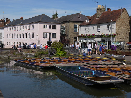
But no trip to Cambridge can be complete without the obligatory photos of....
P1070811
Punts....
P1070814
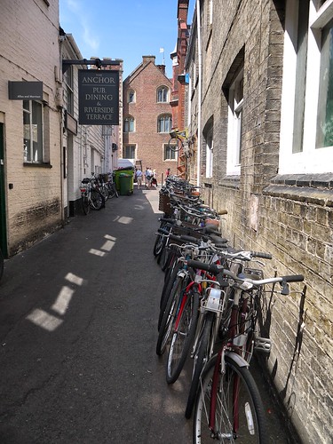
Bikes.....
P1070816
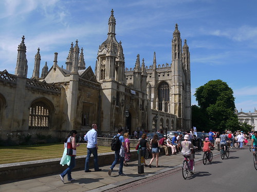
Colleges.  And Students.  And Students on Bikes.


Alex loved the colleges.  He can see himself wearing his cape to the weekly meals in the grand halls, which he doesn't think Guildford can offer.

If only it didn't take me 90 minutes to drive the 4.5 miles back into town to pick them up.

Should have brought my bike.