Geocaches - 9
Walk Inspiration - Walks along the Thames Path, Walk 2
3.5 long years since I found the source of the Thames, completing Walk 1 from a wonderful little book that details 25 circular walks along the length of the mighty river.
This weekend, we tackled walk 2 from the book that promised a lot and delivered slightly less. On paper, the Cotswold Water Park looked decent enough for a lengthy ramble but things conspired against us.
Firstly, Mrs M thought Cirencester was just a little further on than Cheltenham. She suggested a lie in but neglected to find out how long the walk was. She failed to factor in a 3pm "toe" appointment at the hairdressers.
I don't think I will ever understand women but I do know our post walk refreshment is in jeopardy.
We park up at a Ringo enforced parking area to the North of Ashton Keynes, saving the best of the walk till last. We head out into the Blue. The whole landscape is dominated by filled in gravel pits, creating wildlife sanctuaries and yachting clubs.
 |
| Cotswold Yachting Club |
 |
| South Cerney |
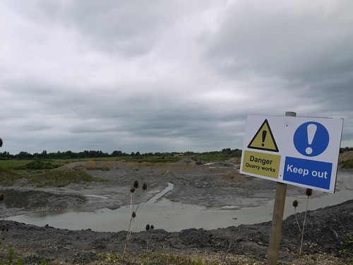 |
| That's my route knackered then |
Some uninspiring field walking at speed leaves us feeling a touch glum but the walk materially improves when the Thames is picked up at a dilapidated windmill. Lots of other ramblers out and a series of good geocaches provide entertainment.
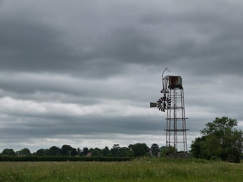 |
| A Metaphor for the Day |
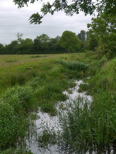 |
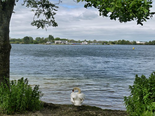
| Thames, about 5 miles from Source |
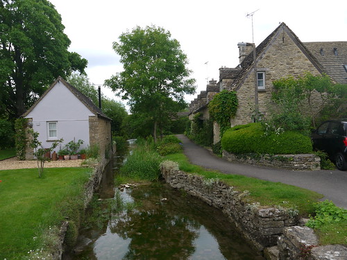
The Thames weaves its way through the lakes to Ashton Keynes and the walks conclusion. Sustenance is found through homemade flapjacks for sale on a wall, with a £1 honesty box. The village is a delight, with the houses backing right onto the nascent Thames and on the OS Map, there are two big blue cups of joy.
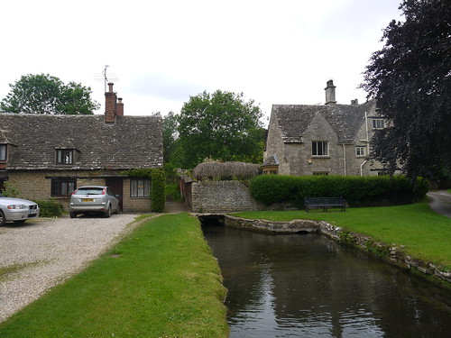 |
| Ashton Keynes |
Out of the two pub symbols on the OS Map, I have picked the one that has been converted into private housing. To rub salt into the wound, the former Plough is Grade II listed, has the pub name etched into the Windows and even has the "Best in the West" ceramic plaque embedded in the wall.
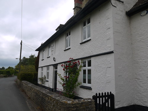 |
| Should have banged the door and demanded refreshments. They have a moral duty. |
For the first time ever, it's a dry walk and the blog needs to be renamed. But at least Mrs M gets her handsome plates of meat.
Great review of the walk, thanks for sharing! What a shame you didn't make it into the one remaining pub in the village, The White Hart (it was only 100 metres away when you took that photo of the river at Church Walk). Whilst the quantity of drinking establishments in Ashton Keynes has reduced from three to one since the 90s, the concentration of thirsty village folks (and rambling visitors) into The White Hart has resulted in a busy and thriving community pub. Mark it on your map for the next time!
ReplyDeleteCheers Stuart.... Loved the village and it was my own lack of planning (and ancient OS map) that conspired against us. Lessons learned :-)
ReplyDelete